
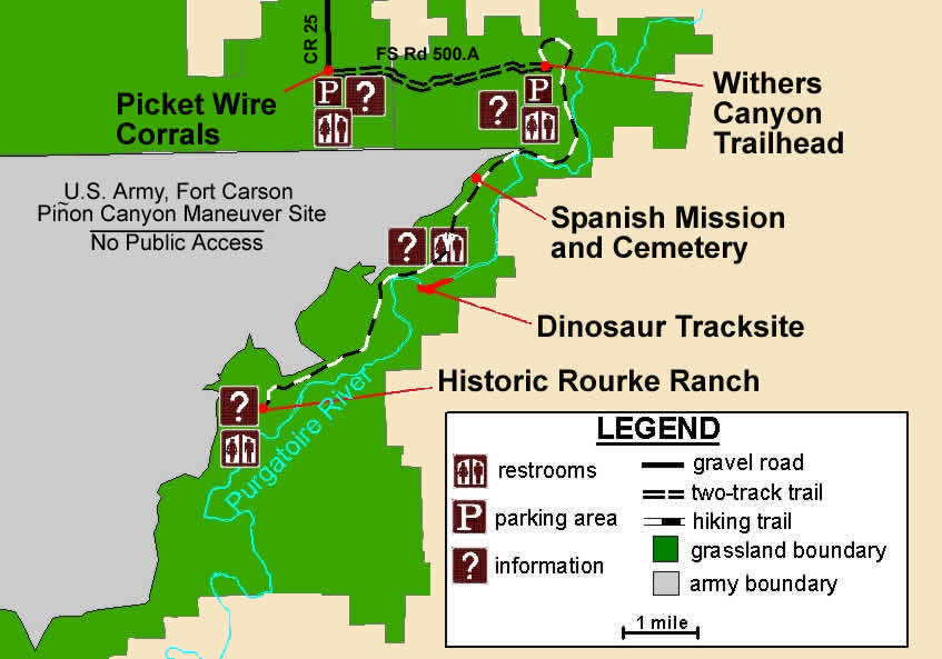
The current Piñon Canyon Maneuver Site is north of the Picketwire Canyon Rec Area, and stays north of the river, stretching west for some 20-30 miles. It's currently 235,000 acres. One map of the proposed expansion would make the site 415,000 acres.
The Commanche National Grasslands publish this map showing their managed rec area and the maneuver site to the north:
As I explored for epic loops, I assumed that anywhere north of the river, I might encounter fences marked no trespassing by order of the government. So I was watching for places where I could get across the river and head south. Down there it looks like this:
So as I headed on upstream to check out some of the other cool things, I kept my eyes peeled for a way to ford the river and go south into some of the side canyons up there.
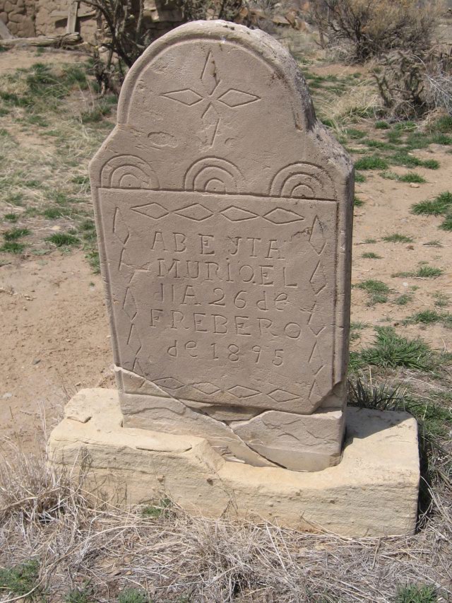
Bury me not on the lone Prairee...
Plant me in this nifty canyon instead.
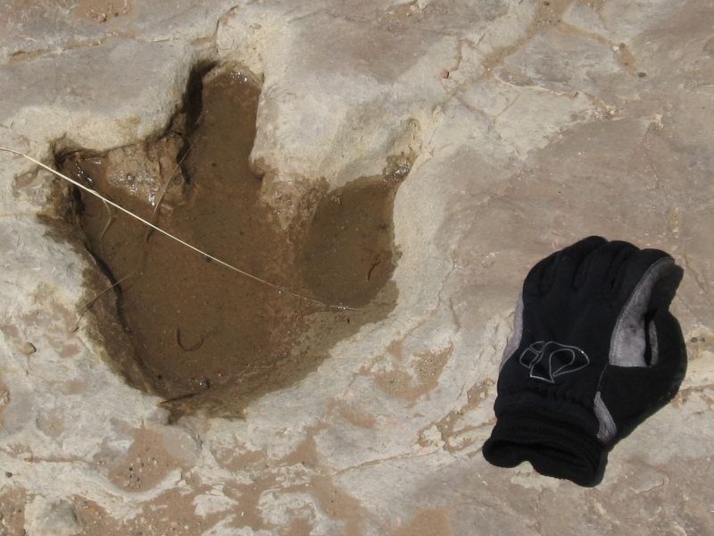
The dinosaur tracks are pretty cool. You can see where individual animals walked across some fudgy gumbo clay which then got dried and covered, and turned into stone:
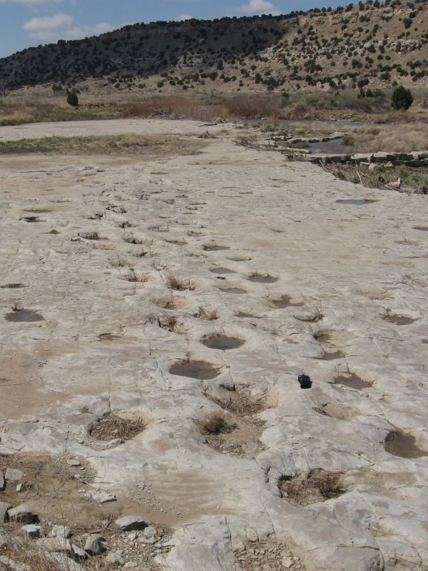
Apatosaurus Tracks
Allosaurus Track
The rock formation in which these tracks are laid just crumbles away at the downstream end:
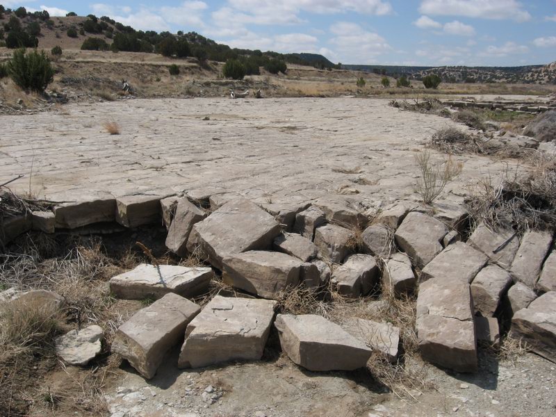
The Army could help that process along with just a couple bunker busters. Kewl.
As I head upriver, I find no promising places to ford the river and head south into the maze of canyons. I check out a few faint doubletracks, but there isn't anything I'd follow into the unknown.
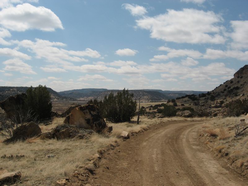
So I keep going on the road toward the historic Rourke Ranche site.
Sweeping view of the upper canyon, the ranch site visible in the distance.
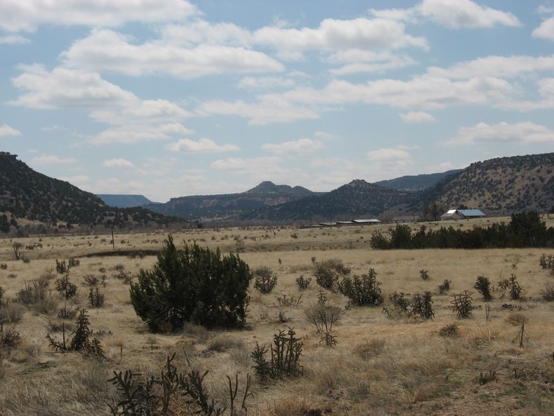
Rourke Ranch Site.
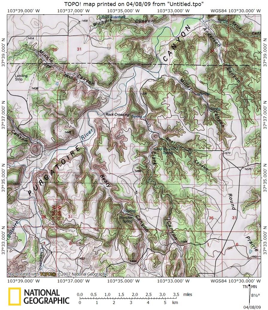
From here, by the Commanche National Grassland map (above) it looks like I'm at the end of the line.
2 comments:
I have heard about this expansion. Reminds me of the Otero Canyon fight near Albuquerque - nothing more than the DoD trying to expand their territory to strengthen their relevance. In Otero's case it was Kirtlands claim to have the largest (in acreage) AFB in the US....and this came fresh on the heals of their fight against Graham-Rudman to keep the base from closing.
Eisenhower saw this coming in all irony. The military is no different than the typical corporation...grow, grow, grow....
P.S. I did Army Maneuvers at Pinion Canyon 20 years ago back in the day when Uncle Sam paid me money to learn how to kill people. The things I remember as a young lad in a pickle suit at Pinyon Canyon:
1. Be careful when leaving the tent at night to pee. I had a large cactus embedded in my knee after one such episode.
2. It rains hard enough to shower naked in the open space.
3. Bull snakes are aggressive. One chased my buddy into the cab of his truck and then tried to slither up the rope stair to the cab.
4. My girlfriend and now wife packed a large stuffed rabbit in my backpack. Uh this is embarrassing....so I hid it in my sleeping bag. One night I'm called to drive a huge helicopter fuel truck out into the middle of nowhere...and stay with it. A pickup truck is out there so I put the sleeping bag in the back....no alarm clock so I get woken up by the Command Sergent Major.....the "Dude" of all NCOs. He sees the rabbit and thinks I'm Radar friggin O'riley and this is my "coping" tool. Sheesh.....the guy treated me like I was his kid and felt sorry for me. Told me to not worry about being away from home, not to be scared, etc. He must have thought I was some scared kid. Thanks Jeni. It was kind of funny actually....
Post a Comment