
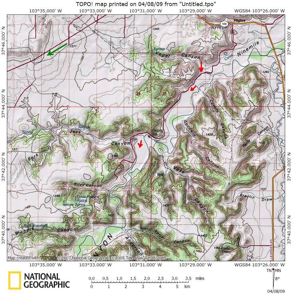
The red arrows show the way I was hoping to find. The green shows the normal way.
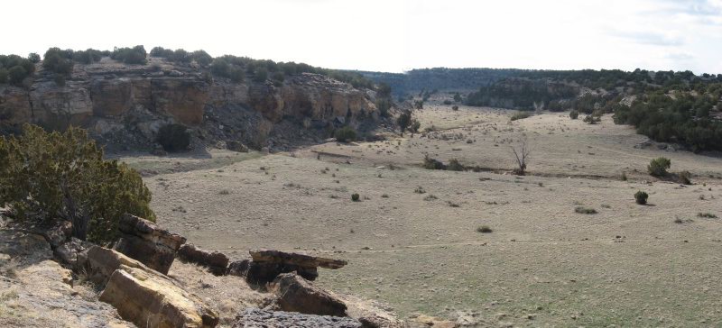
Vogel Canyon was pretty in the morning light. I dropped in there and checked out the pictographs.
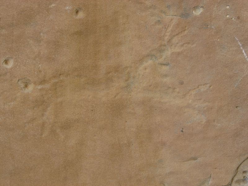
Bunny rabbit?
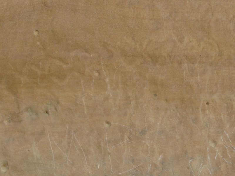
Clearly rattlesnake. Note the dumbass graffiti in chalk below.
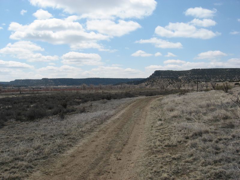
After I stopped to check out the cool evidence of early residents, I headed down canyon to see if there was a way through. I quickly encountered a barbed wire fence. I decided that I wasn't going to start crawling over fences this early in the day. I decided to ride the normal way down to the Withers Canyon Trailhead. This involved taking to a wide open prairie dirt road. The cold crosswind worked me over for 7 or 8 miles, then became a tailwind as I headed south on Otero County Road 25.
I reached the trailhead a little over 2 hours after I left the tPOD. I dropped down into Withers Canyon then rode into the Picketwire Canyon:
The old stage road in the Picketwire Canyon. Note the telegraph pole to the right of the roadbed.

No comments:
Post a Comment