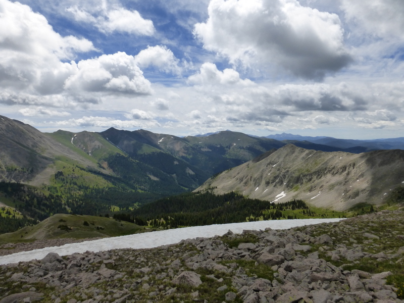
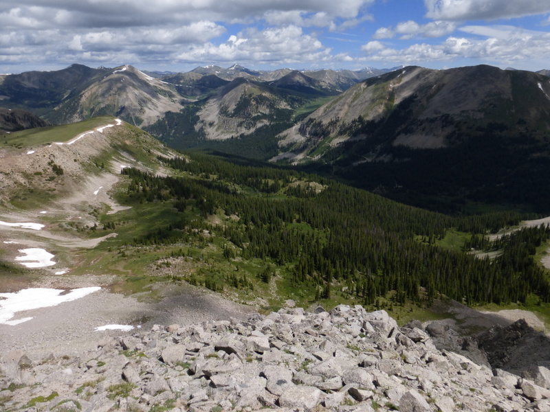
When summer comes and high country snow recedes, I start venturing up into my happy place on my bike. Between Mt Ouray and Mt Antora there there is a high basin with a series of drainages, two of them with trails following down. There are two good climbing routes: the Marshall Pass Road and the Poncha Creek Road. Silver Creek and Starvation Creek have trails following them and they are born at the Divide and complete their runs to drain into Poncha Creek within a relatively short distance.
I love to start from my house in Salida on my mountain bike and ride to Marshall Pass. From there a number of adventures are possible. Down Silver Creek or Starvation Creek then back to town the way I came. Or backwards south to north on the Monarch Crest Trail, to descend Greens or Fooses and return to home using highway 50. Or Agate Creek. Or something else I dream up.
Every adventure up there is different. Weather, riding companions, animals encountered; all of these things make the ride unique.
Since it's such a favorite place of mine, I thought I might dedicate a blog post to deconstructing a ride into the shadow of Ouray (photo album at bottom of page).
Start with 5 miles of Salida town and County Road 120. Elevation change is roughly 7100 feet to 7500 feet. Then 5 miles of climbing toward Poncha Pass and the Marshall Pass Road. It's a good wide highway with a breakdown lane to ride in, but lots of traffic. Elevation change is roughly 7500 to 8200. An hour or hour and fifteen minutes of pavement, and I turn right onto the gravel Marshall Pass Road, Chaffee County Road 200.
Marshall Pass is 15 miles away and 2,500 feet higher. The road starts in Piñon/Juniper and grass with the occasional ponderosa pine. The first 3 miles are pretty flat, but climbing is constant all the way from Salida to the Pass. The three miles bring you to an intersection at a place known as the Shirley Site. There was a town here at one time over 100 years ago, but now it's a parking area with a latrine. There are three ways to proceed up from Shirley. County Road 201 goes south and then west up the Silver Creek drainage. Poncha Creek Road goes west, and a mile up the railroad grade curves around back to the east to begin snaking its way up toward Marshall. Poncha Creek Road takes the straightline approach to get to the same place, going more or less straight without regard to steepness.
Sometimes I go up Silver Creek Road and ride only the Rainbow Trail then back to town. But my favorite is to follow the railroad grade. That's what I did on July 3, 2015. As I left Salida that day it was cool, humid and overcast. I was planning for the clouds to burn off, but prepared for whatever the mountain had in mind for me.
Half way up the 5 miles of highway 285 it started to rain on me. After 10 minutes of rain, I considered turning around to ride something lower rather than suffering in rain all day. It looked like it was settling in, and might rain all day. I actually slowed and looked for a gap in traffic to turn around, then thought, "Ah, what the hell. Might as well keep going. I'm already up here."
When I got to the Marshall Pass Road, it was wet and to the west it looked much more wet. I stuck with my plan, because I'd already climbed the pavement part and it wasn't raining hard enough yet to turn me back. If there's anything I've learned about these mountains, it's that you can't tell what the weather will ultimately do based on what it's doing right now. So I kept rolling over the moist gravel.
When I got to the Shirley site there were lots of puddles and the brush and trees were shining with moisture. But blue sky had appeared on the western horizon. My wager had paid off. It was burning off, and as I rolled up the railroad grade the aroma of happy wet sage filled the air.
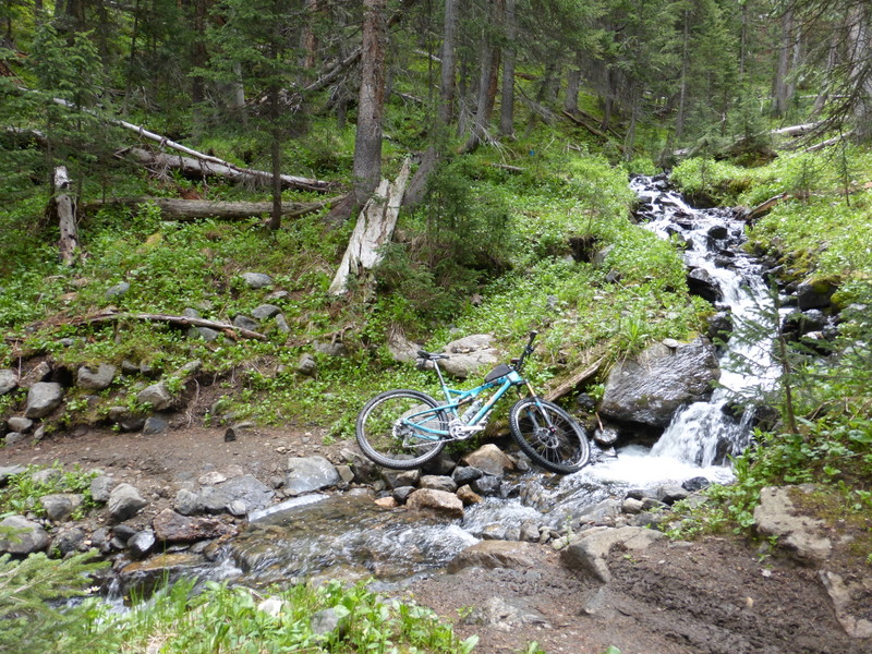
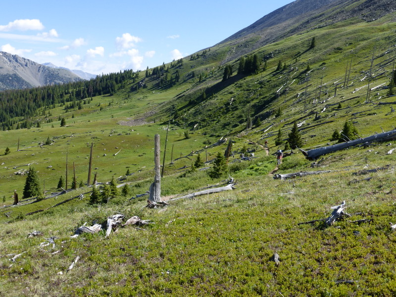
The railroad grade is a wonderful aerobic climb. And much of it rolls through a tunnel of aspen that goes on and on. So beautiful. I often see bighorn sheep, and the road is littered with old rusting railroad spikes.
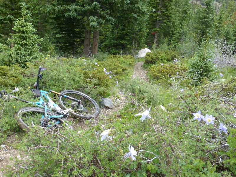
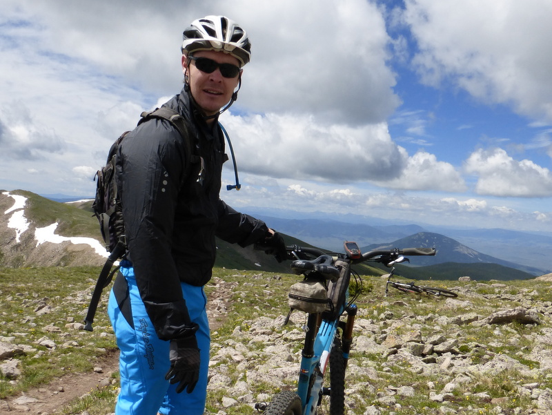
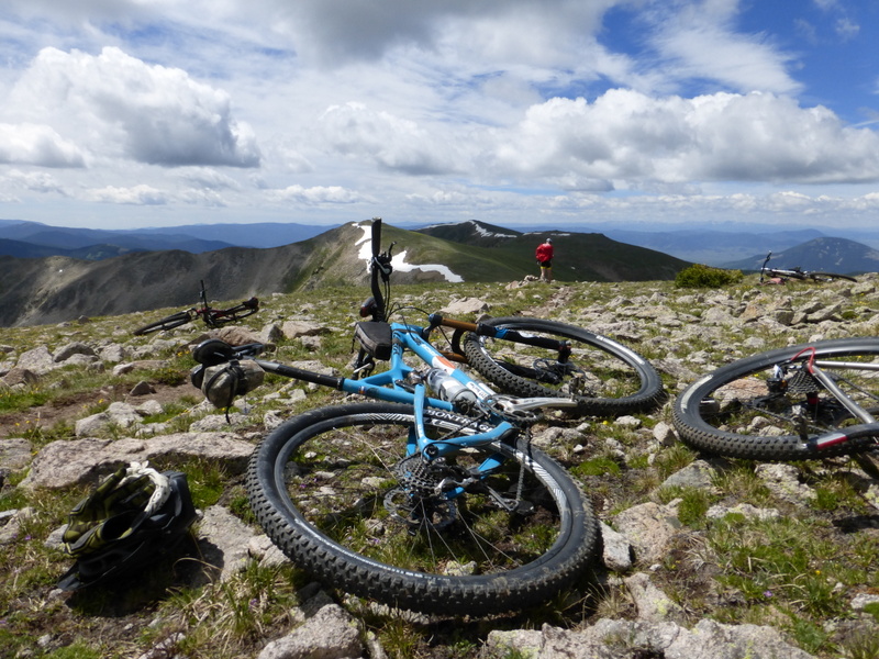
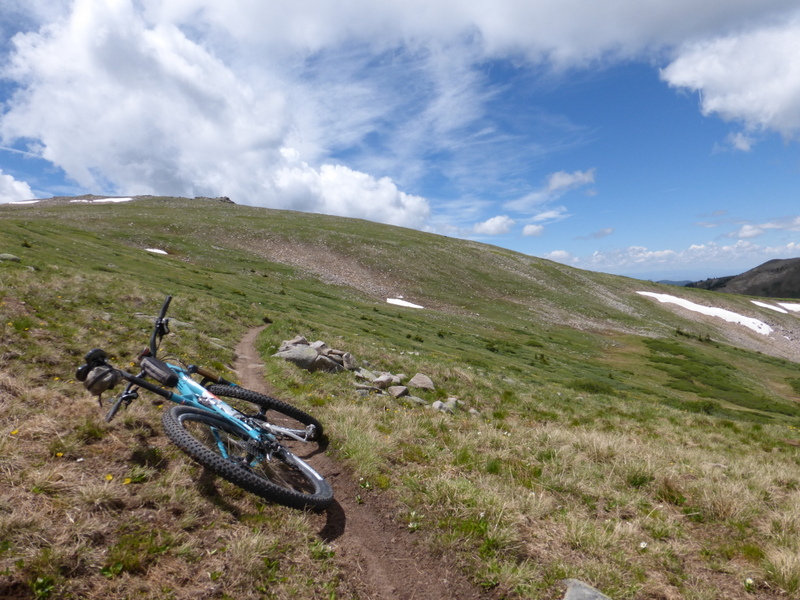
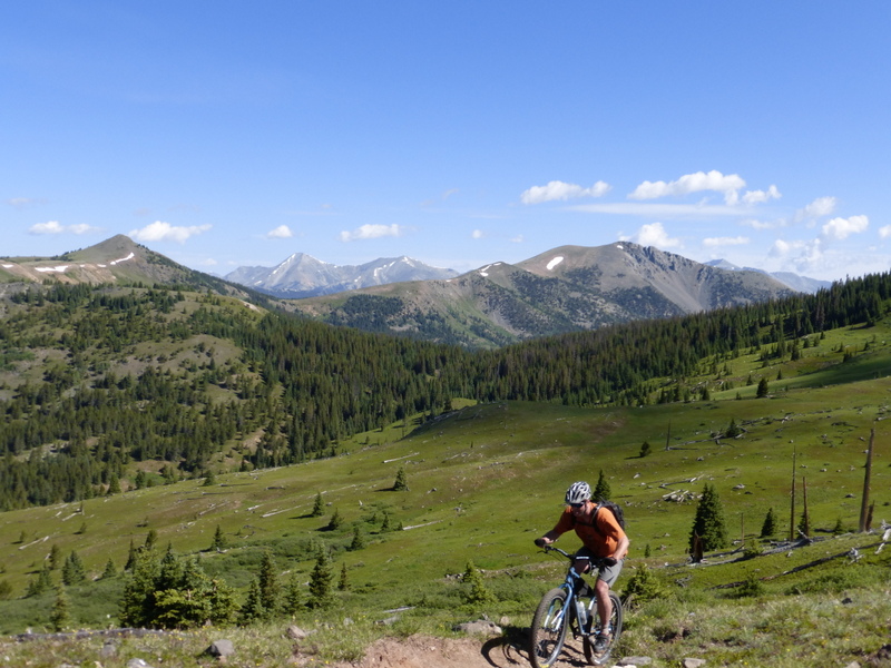
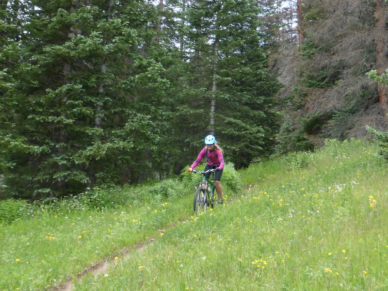
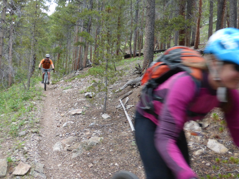
After 15 miles of dirt road and over three hours on the bike I emerge at the pass. Now singletrack! Between the ~4 miles of Continental Divide Trail/Colorado Trail from Marshall to Silver Creek, the ~6 miles of descending on the Silver Creek Trail, and the ~10 miles of Rainbow Trail, there are nearly 20 miles of classic Colorado trail ahead. The whole ride is a reward, but this section of trail-riding is what makes it world-class.
On July 3, 2015, I rode the traverse over to Silver and down Silver in lovely cool, sunny weather. Shortly after I emerged from Silver Creek to start the Rainbow, I noticed some clouds blowing in from the north. Before I'd gone 15 minutes down the Rainbow the rain started. Five minutes later I was hunkered down in cover with lightning flashing and cracking overhead. It rained hard and there was lots of electricity, then it gradually moved off to the south.
When I started moving again, I found a trail that was more puddle than not. The muddy water sprayed all over me and my bike. Total mess. But the sun was back out and everything was green and cool. So we went from overcast to rain to sun to storm back to sun. Typical day up in the shadow of Ouray. This particular ride took me 7 hours, 55 miles, over a mile of cumulative climbing.
I finished, a muddy man who was almost out of water, rolling down the highway sometimes hitting 40 mph, then back to town on County Road 120. Home to my dog, a shower, and a pint of Ben and Jerry's. Typical day up to the divide on the bike. Bliss.