Saturday, November 29, 2008

PEE-ebluh State Park

On Black Friday, even though we would have rather had a chance to trample a Wal-Mart employee, Kathy and I headed over to Pueblo (pronounced PEE-ebluh) State Park from Wetmore to ride bikes. 

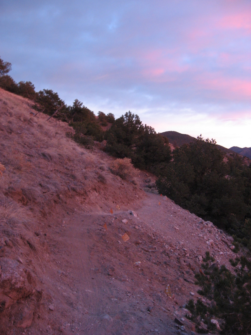
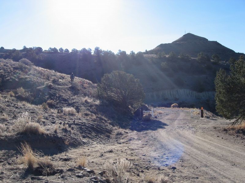
A cold front moved through on Thursday night, so Friday was chilly. It was clear at the foot of the Wet Mountains, but we drove under a thick cloud bank as we approached Pueblo Reservoir and the state park. The air was cold and moist as we got started, and the sun was completely obscured by thick clouds, but we bundled up to see if it would be workable as long as we were there.

Once we got moving the day's weather proved to be fine for riding for the most part. The light was completely flat, which made photos pretty interesting.


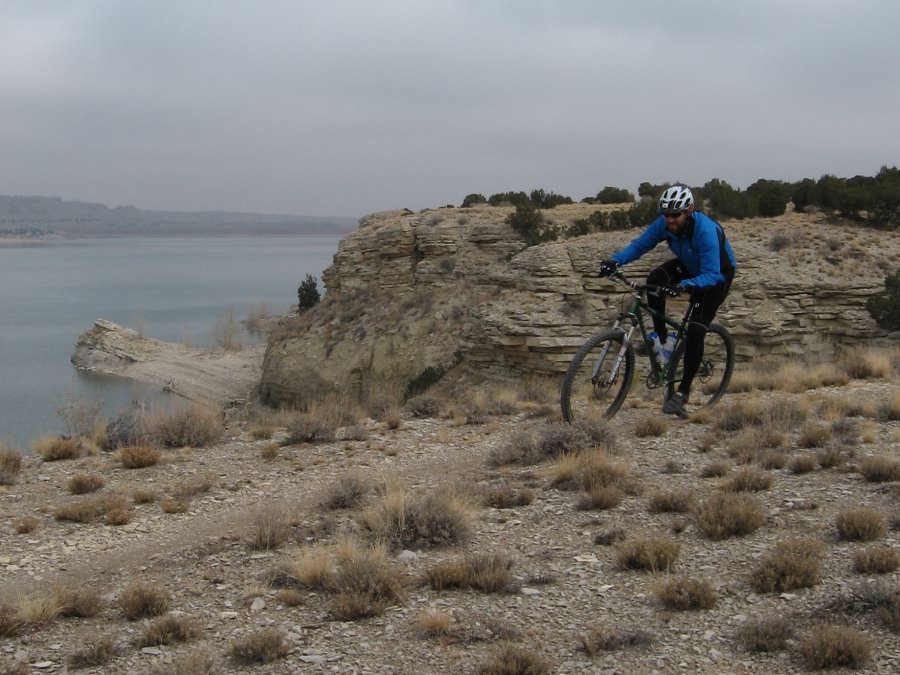
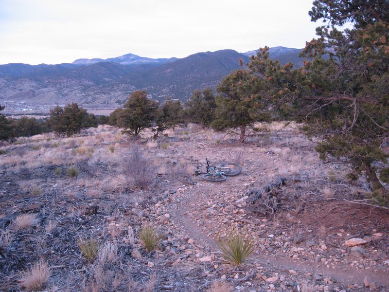
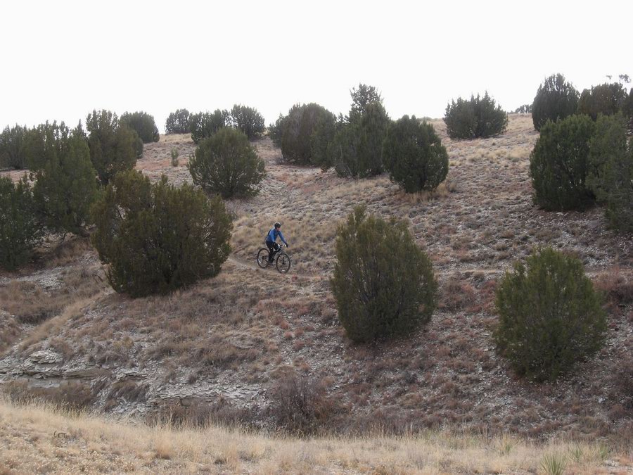
Me on the Outer Limits Trail under a gray sky

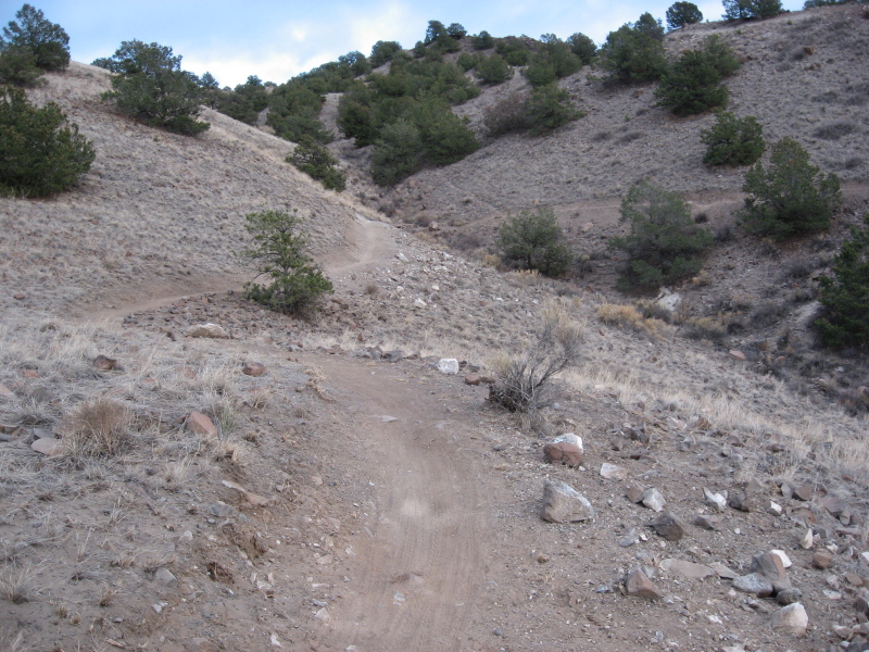
Outer Limits is a really cool trail. It traces along the rim of the bluff over Pueblo Res. Lots of flowy singletrack with little dips. Good fun, and good scenery.


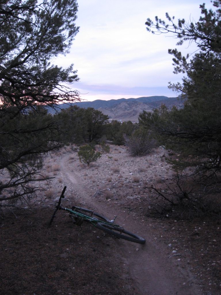
Kathy on the Voodoo Trail

We started riding the Voodoo Trail, but it was getting a little late and toes were getting cold, so we cut that short and headed back.


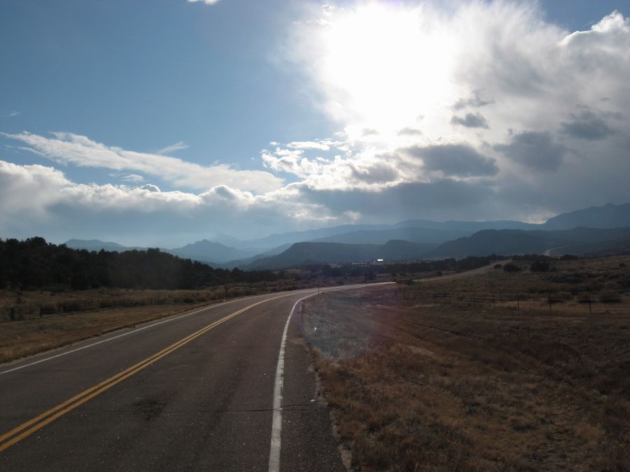
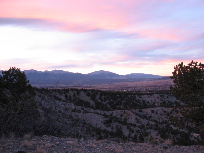
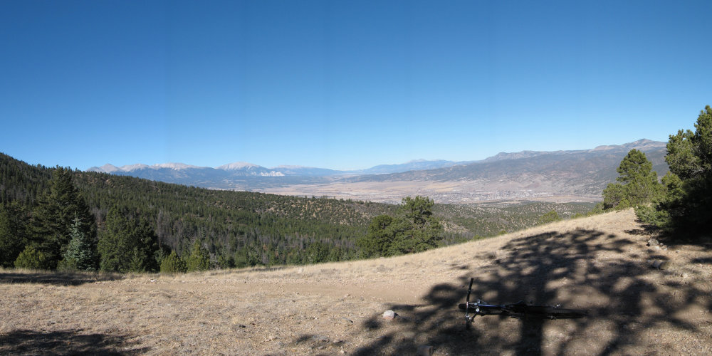
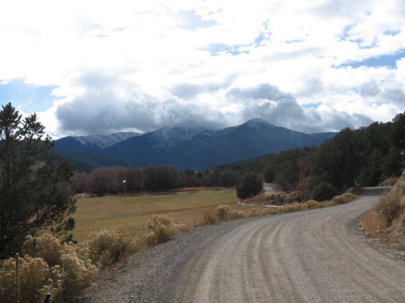
The Wet Mountains as seen from the east

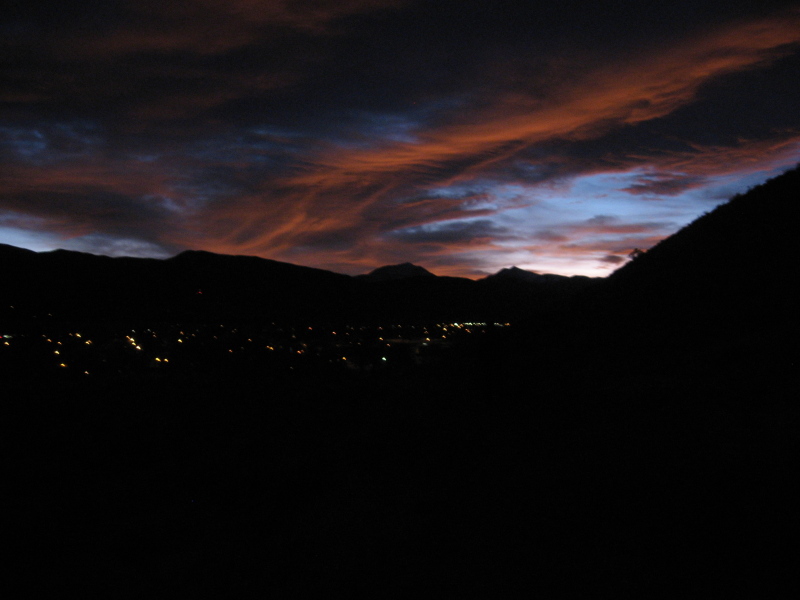
As we headed back west toward Wetmore we drove under mostly clear skies. 

The day was good, and it ended quite well with a surprisingly tastey dinner at Merlino's Belvedere in Cañon City. From the billboards I've been seeing as I passed through the area for the last 20 years I just assumed that this place would have to be totally campy. But the people are completely genuine in their desire to please, and damnit, the food is good. I recommend it if you like real Italian Food. And especially if you like having Frank Sinatra and Dean Martin woo you quietly from hidden speakers as you chow down on homemade pasta.

Tuesday, November 25, 2008

Evening with rocks and sunset

In the cooler part of each year, we Salidans ride the rocky piñon/juniper country that rings the town. Lost Trail is my favorite of these rides. It's a flawed trail, to be sure. Lots of fall-line stuff, some ridiculously technical. Ruts full of baby heads, some flowing open trail full of baby heads, sandy ruts--you know, normal Salida riding.

This evening I got up there just at sunset. Looking for that pink light. Got a little bit of it.


Rocky upper part of Lost Trail

The sky has been full of high cirrus all day. A weather thing is supposed to be here for Dead Bird Day®. This is the kind of sky we get before a weather blip. But those high clouds do make for some nice sunsets.


Sunset as seen from the middle of Lost Trail

The lower part of the trail has some really nice smooth bits. So out of character for trails near Salida.


The lower, smoother part of Lost Trail, my Voodoo taking a breather as the light turns low

Friday, November 21, 2008

Back to our regularly scheduled Indian Summer

Yep, it was just the one day. The front moved through over night, and we had a chilly and clear morning. Down below 20, but up to the 40's by 9 AM. I'm going to be in Denver with Kathy this weekend for the Denver Film Festival, so I figured I better bust out a little ride. 

This time of year it's always so compelling to get a ride in. There's always the feeling that the hard weather is just around the corner and we won't be on dirt much longer. But it's been feeling like that to me since early October, and moreso since we got back from Mexico.

But yeah, it's fuggin' pretty again. Go figure.


Southern Sawatch Range as seen this morning from the Arkansas Hills north of Salida. The peaks are (left to right) Ouray, Chipeta, and Pahlone. Ouray was a lendendary chief of the Ute Indians. The Ute were indiginous to this area before statehood in 1976, which was roughly when they were run out of the mountains and moved to reservations (as was the fashion at the time). Chipeta was one of Ouray's wives, and Pahlone was his son by another wife, Black Mare.

See this article from Colorado Central Magazine if you're interested in knowing a bit more.

Thursday, November 20, 2008

And then it changed--maybe for only the day

Glad I did a nice, long ride yesterday. Today is chilly, windy, overcast, and with the smell of snow in the air. Shiver shiver. We do need the moisture though. And the forecast for tomorrow is back to clear and dry.

So it goes.


On the horizon on the right side center of this photo is roughly where I was yesterday when I took the photo of clear, cloudless southern Chaffee County.

Wednesday, November 19, 2008

Clear, Dry Arkansas Valley

Eight days ago I declared that our weather was supposed to become stinko for riding. Did not happen. It's been ridiculously nice. Chilly overnight, sure. Down in the teens. But that's standard for the Upper Arkansas in the months between the autumnal and vernal equinox. Clear, sunny, daytime temperatures in the upper 50's and lower 60's, but feeling warmer in the sun. Night rides comfortable until after 8 PM.

Rode the Rainbow Trail between Bear Creek and Methodist a while ago. 9,000 feet elevation and dry as a bone. Too dry I guess, but I like it. I'm selfish--I like to ride.


Glassy clear air. Utterly cloudless sky. Typical for the valley in autumn.

Monday, November 17, 2008

Sunsets and New Trails

Last week one evening Kathy and I were taking a little hike and noted the compelling beauty of rose-colored light that washed over the land due to a fabulous and sublime sunset. I wanted to get some pictures of some of our new trails winding through the piñon, and I decided that I wanted them to appear in this light. So on Sunday late afternoon we set out for another evening walk, this time with camera hoping to get similarly beautiful soft light.

As we trespassed across the dormant Union Pacific railroad tracks the sun was just touching the horizon and the early evening sky was mostly steel-colored. Seemed like we might just have to settle for flat soft light.

We climbed a steep and direct route up onto Tenderfoot hill. The sun disappeared behind Mt Ouray. We arrived at the beginning of the newly completed trail we've been calling Little Rattler.


At around 4:30 PM we got this shot. The light was gray, the terrain was gray, the trail was gray, but still a pretty nice photo. Note the tire tracks. The trail already has many visitors, afoot and riding, every day. We saw a rider as we ascended.

Then it happened. The sky bloomed.


We headed back, farther north and farther up into the slope of the Arkansas Hills. We got the rose-colored pictures. Here's a sample:


Work in progress, The Backbone Trail

It got dark on us, but we had just enough light to keep from tripping on rocks, and we got a nice view of our little town with a last bit of spectacular and poignant sunset.

Tuesday, November 11, 2008

Late Rainbow

Today I just had to take a few minutes (well, hours) to ride our local bit of lovely Rainbow Trail. The weather is supposed to get nasty this week which would be appropriate to the season. So I thought today would probably be a good day to go, rather than regret that I lost my chance to ride it one more time. 

There was a bit of wintery weather visible on the tops of the Sangre de Christo peaks that we see up ahead.


Climbing toward wintertime.


Check out the wintertime visible between the trees. Pretty though.


Ah, we locals do enjoy suffering on this pretty climb. I'll miss it when it is under 5 feet of snow.


Slightly snowy singletrack.

Sunday, November 9, 2008

New Trail Construction!

Yesterday my trails organization, Salida Mountain Trails, had a volunteer day. We have done this before, even this year, but this one was special. This workday was the first day that we were able to build trail on BLM land near Salida.

We have built some short trail sections on a limited amount of City of Salida-owned land across the river and north of downtown. But these projects were limited. The City land is nice, but it's quite finite. Perhaps 150 acres. Our mission has been to build a trail system. Western style. Long rides (or hikes, or trail runs). We've been working with BLM to get clearance to start building our plan for years. Four of them. And yesterday was the day when we first operated on the "green light means go" rule. We broke ground on our Backbone Trail, the first level of our stacked loop trail system.

And we got 40 folks! We built about 1/3 mile of trail!

Check the pics:


This is how it starts. Actually, note the guy in the background with the black shirt and yellow hardhat--it starts with him going out and flagging the route. No wait, it starts with him organizing the whole thing while I played in Mexico. Famous GAT Squadder, Andrew M.


End of the day, not yet sculpted to perfection, but trail.


A bit of the last project we did on City of Salida Land

So there you have it, progress out in the Piñon across the river from Salida.

Monday, November 3, 2008

Copper Cañon

Two weeks in the State of Chihuahua in the interior of Mexico. USA is serving up some culture shock. It was sure nice to not hear any news...

Too many stories to blog. How about just some pictures, each telling at least a few hundred words, if not a thousand:


Enrique, our Creel local guide, rides from a tarahumara farmhouse after talking to them

The trip was made quite rich by exposure to the tarahumara people, one of the most culturally intact indigenous populations left in North America.


Friendly tarahumara girl


Tarahumara woman at the lodge where we were staying, bringing goods for sale, her child strapped to her back


Kim cleaning a bike--not his.

The people we traveled with were the best. This is Kim, one of the kindest, most positive people I have ever met. He made the trip special with his humor and attitude.


The mission in the town of Cerocahui, Chihuahua. Pictured from the courtyard of our hotel


Waterfall near Cerocahui, Chihuahua


One of our first peeks at the grandeur of the Urique Cañon.

Most visitors to the Copper Cañon country descend into Batopilas Cañon if they go below the rim country. We traveled into Urique Cañon, a deeper and less visited cañon.


Urique Cañon, with the town of Urique along the Urique River


The Urique River as seen from the bottom of the cañon


The west cañon Wall as seen from Urique


The road out.

On Monday morning, the 11th day of the trip, we climbed up out of Urique Cañon, starting before daylight to avoid the intense heat of the cañon floor. This is the road we climbed. Approximately 4,500 vertical feet from the bottom to this point.


Campfire at the San Isidro Lodge at then end of the day that we climbed back to the rim out of Urique Cañon. Me, Kim, June, Phil, Kyle left to right.


Boots

Of all the many, many homeless dogs that I would have liked to adopt, this one who we called Boots was the most compelling. She was smart, beautiful, and surprisingly gentle for a street dog. She followed us all over Creel then slept on the sidewalk outside the hotel waiting for us to come out the next morning.