Friday, April 24, 2009

Utah Fix

So, my blog has started to be a perfect example of what Team Dicky refers to in this post. Some pretty funny examples of lame blog posts. Like the "Sorry it's been so long since I've posted" post. That sounds like me! Except for the part about the iMac.

OK, enought lament for how lame my blog has become. On to a bit of actual content. Utah!

My sweetie and I took off Saturday, made it into the Mineral Bottom/Mineral Canyon junction by evening. The next morning we rode out toward Candlestick camp.


So nice to be back in the tall, vertical country. Soothing. Puny, small humans among big land.

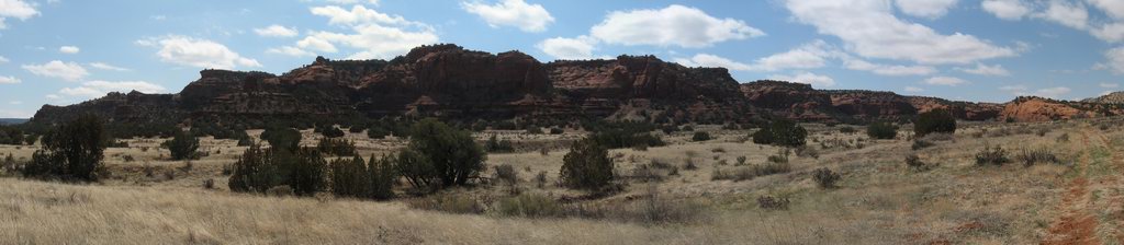
We did some riding and some hiking. Lots of long views out over the maze of canyons and mesas with the Henry Mountains in the background.


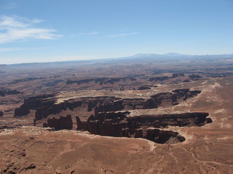
Grandview Point on Monday.


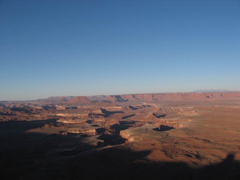
Green River Overlook just after sunrise Tuesday.


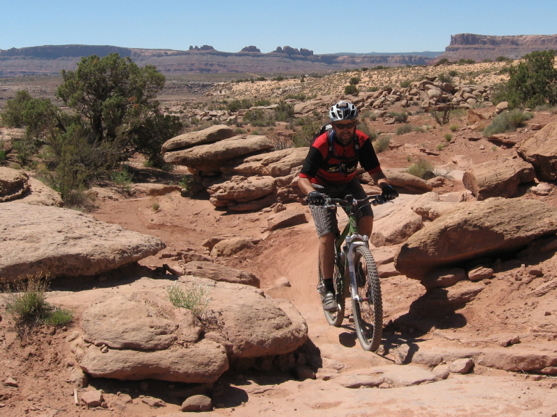
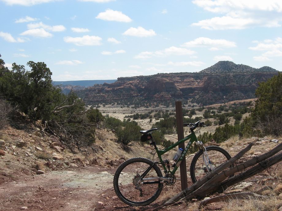
Me happily riding the Sovereign Trail later on Tuesday.


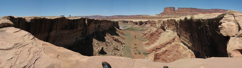
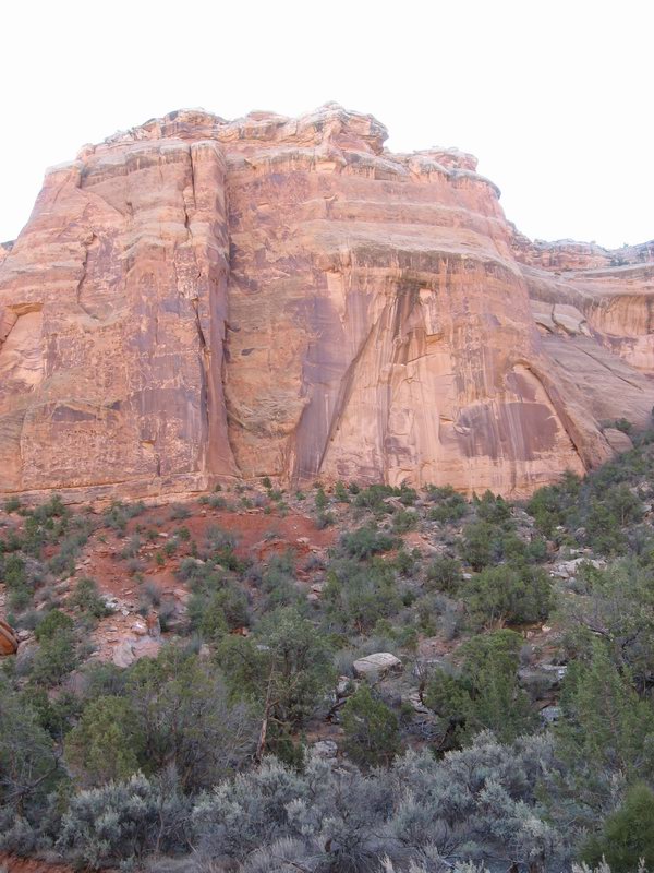
Looking up from a canyon bottom on a hike Wednesday morning before driving back to Salida.

Nice trip. Perfect weather. Wish we'd had longer.


Wednesday, April 8, 2009

On and Beyond

I rode into the Rourke Ranch Site, expecting to find a closed and locked gate, even though the topo showed a road continuing upriver. There was a gate, but it was open wide. So I rode on through. I expected to find in short order a fence, probably announcing that the Piñon Canyon Maneuver Site did not welcome my exploration.

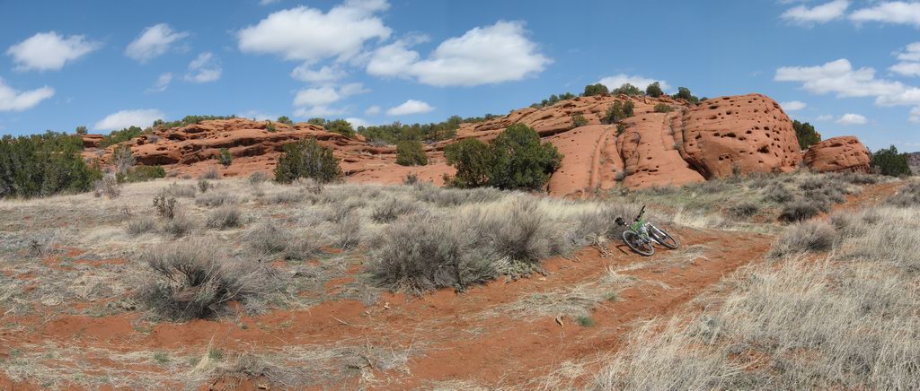
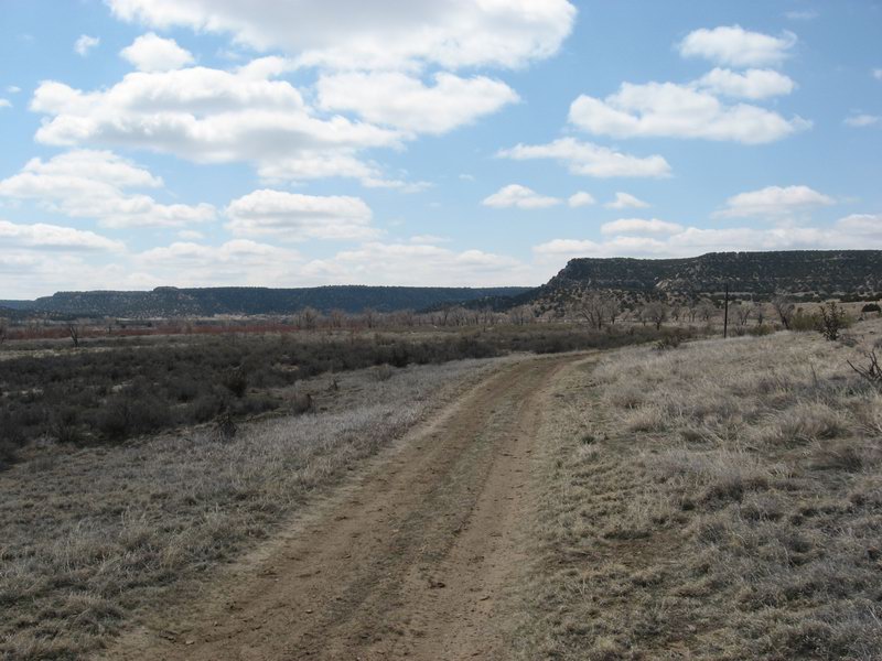
But this did not happen. After winding along in the canyon bottom, the road I was riding curved right and headed up into a little side canyon:


Hmm, purty. Might as well keep going--you never know until you know.

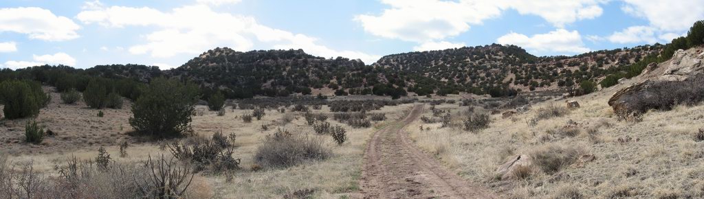
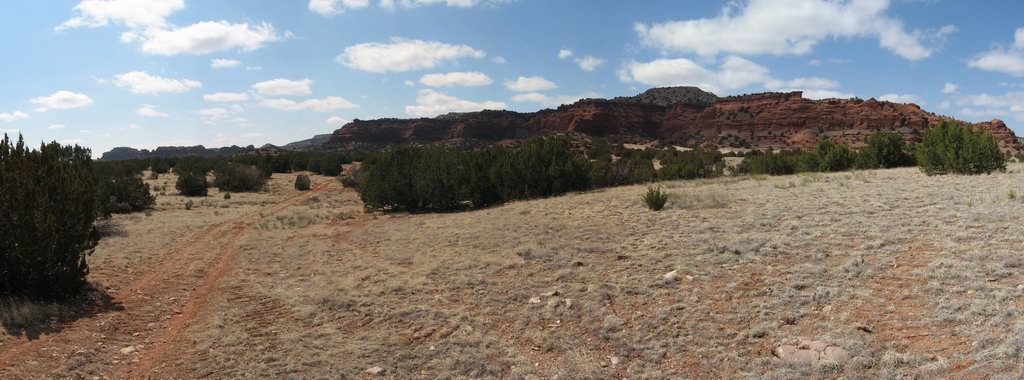
I climbed a windey little ranch road until I reached the top, where the road sloped back down toward the river again:


My heart began to pound, just slightly. Oh my goodness. Look at this. And no locked gates, no private property signs. Goody goody goody! So obviously I continued.


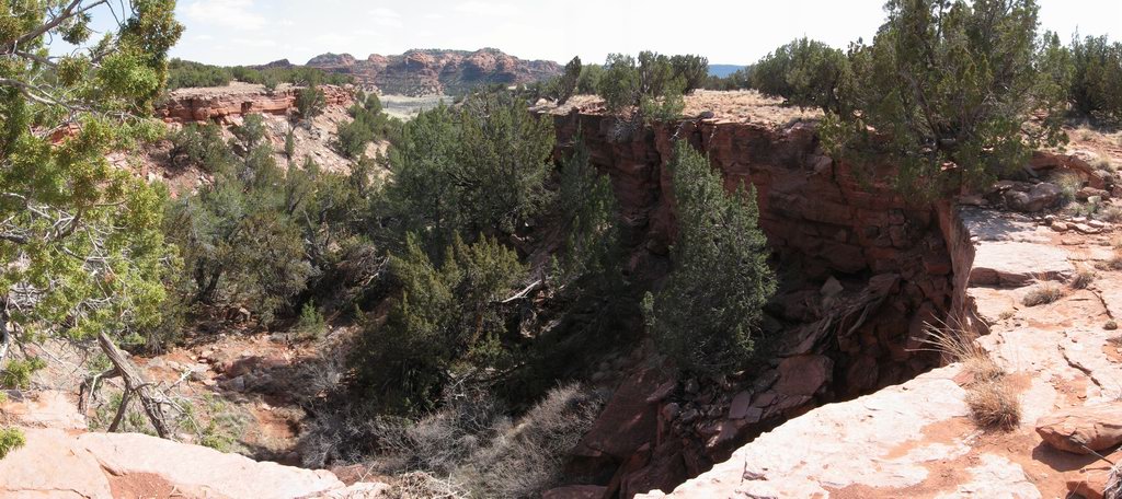
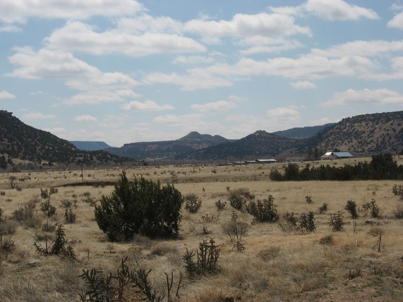
It just got prettier and prettier. And no locked gates, no trespassing or private property signs, no evidence that I was on the maneuver site.

Oh dear, the time. It started getting close to 3 PM. I left the tPOD at around 8:30. Sure, I had stopped to take many pictures and check out many features. But still, I was out there. And the cold wind was still blowing good and hard. And I had been traveling mostly with that damned wind all day. I know the pictures make it look like it was a nice day, but I doubt it ever got much warmer than low 40s, and the warmest part of the day was over. I had a good light with me, and lots of clothes and food. But it just did not seem to be a great idea to get farther on out there. So I reluctantly turned around.

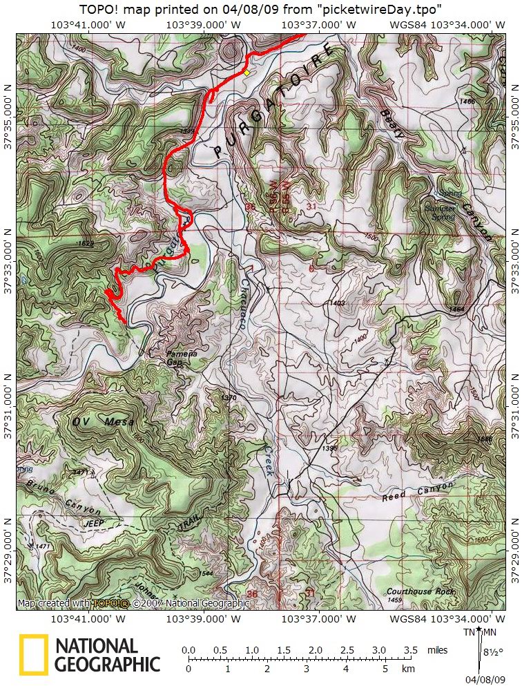
This is how far I got according to my gps (the little yellow diamond is the ranch site, I continued south and west from there):


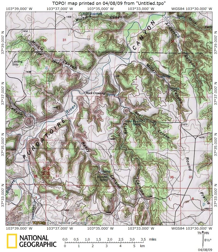
Check out that little place just across the river from where I stopped; Parmeña Gap. That could be the way to get across the river, then up into the Chacuaco Canyon, a major side canyon that goes and goes south. And the OV Mesa, which is a beautiful red thing. Topo maps show a dotted jeep road skirting all the way around, just above the sheer red rock. And you can see that road with Google Earth. 

But the day was cooked. It was time to get going if I was going to get back to the tPOD by dark.

On the way back, just as I approached the Rourke Ranch, there in the middle of the road appeared a very large, brown bull. His neck was twice the thickness of his head. When I saw him he was probably a little over 100 feet from me. His head was low. He was making a very odd low kind of moaning moo. Total and complete eye contact. I stopped. We stared at each other for several tense beats.

Perhaps this guy was just feeling a little lonely, and wondered if he and I might make some beautiful music together. But I'm thinking his motives were a bit darker. I think he wanted to stomp on me like I might stomp on a grape. Squish.

Finally I moved about two steps to my right. This prompted him to begin walking toward me.


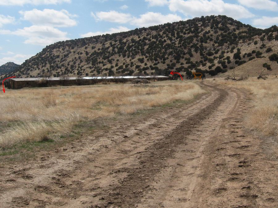
There was a long shed, what would around here be known as a "loafing shed", open on one side. An old dilapidated corral was on the side of it not visible in the picture. The bull was in the road to the right of the shed (as pictured). I needed to get past him, but did not want to get squished. So I did the bravest thing I could think of: I picked up my bike and ran away, stepping through a gap in the corral fence, jumping on my bike and riding quickly through the corral where I was hidden from his view, then I rode around the far end and headed for the road as fast as I could. I looked back and saw that he had followed me around the other end of the shed. When I appeared at the other end, he looked back at me. Thank goodness for adrenaline. I used it to come up with some power and I headed for safety as quickly as I could pedal to it.

Yes, I lived. I did not get stomped. My large brain triumphed. Sweet.

I emerged from the Withers Canyon Trailhead at about 5 PM. I was greeted by wind. Oh my God cold friggin' wind. I put more clothing on and prepared myself for a slog upwind and uphill to where I had left the tPOD.

To summarize the next two hours: it sucked. I was tired, the cold wind roared in my ears, and I had nothing to do but deal.

It was a big day, big adventure, great exploring. My first 9+ hour day of the season, first long day on the Voodoo. Gotta go back and figure out the rest of that thing...

Up the Canyon

The Picketwire Canyon has three levels of history. Some of the most distinct dinosaur tracks in Colorado (paleohistory), the history of indigenous Americans in the form of pictographs, and 19th Century western history in the form of homestead ruins, stagecoach stations, telegraph wires, a cemetery, and an historic ranch site. Wouldn't it be a shame to let the Army bomb it to rubble?

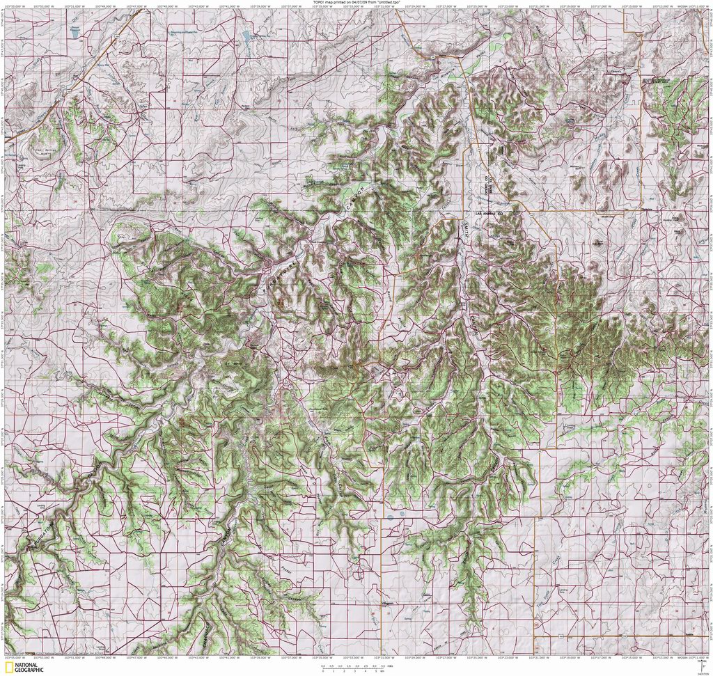
The current Piñon Canyon Maneuver Site is north of the Picketwire Canyon Rec Area, and stays north of the river, stretching west for some 20-30 miles. It's currently 235,000 acres. One map of the proposed expansion would make the site 415,000 acres.

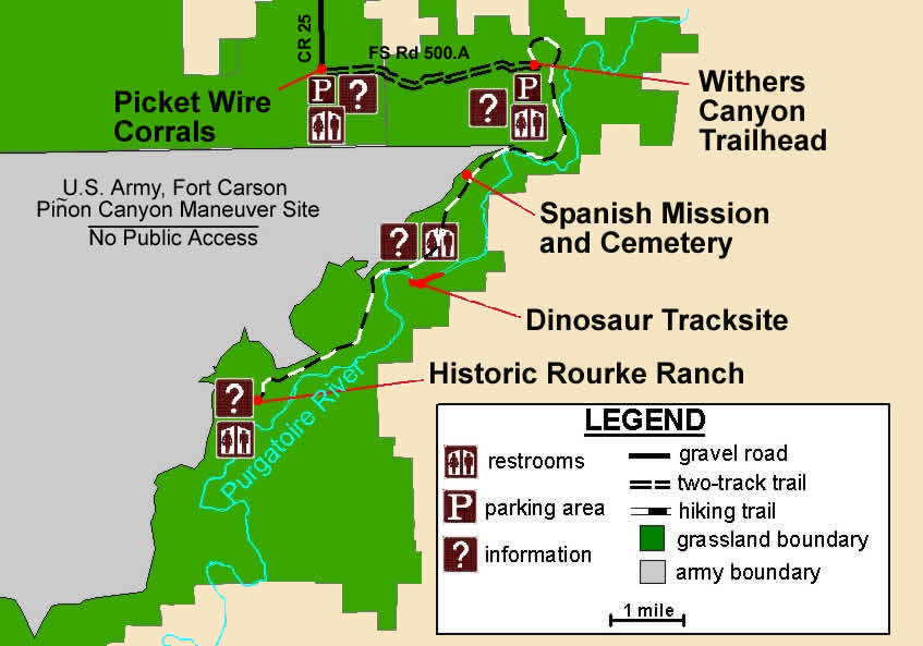
The Commanche National Grasslands publish this map showing their managed rec area and the maneuver site to the north:


As I explored for epic loops, I assumed that anywhere north of the river, I might encounter fences marked no trespassing by order of the government. So I was watching for places where I could get across the river and head south. Down there it looks like this:


So as I headed on upstream to check out some of the other cool things, I kept my eyes peeled for a way to ford the river and go south into some of the side canyons up there.

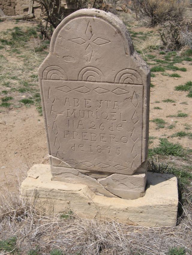
Bury me not on the lone Prairee...

Plant me in this nifty canyon instead.


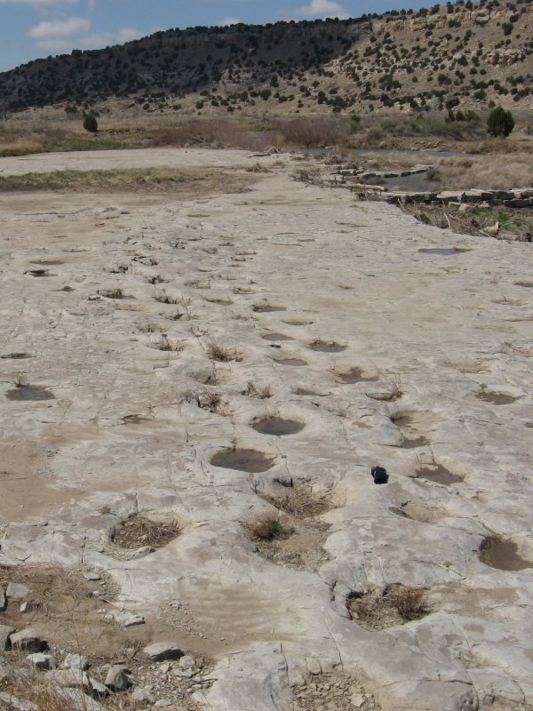
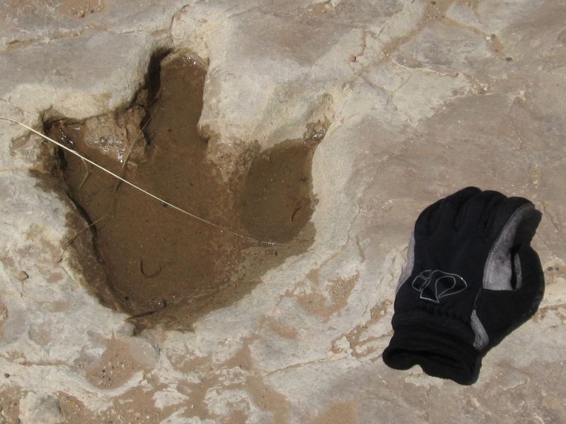
The dinosaur tracks are pretty cool. You can see where individual animals walked across some fudgy gumbo clay which then got dried and covered, and turned into stone:


Apatosaurus Tracks


Allosaurus Track

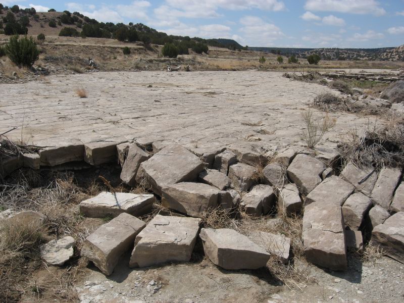
The rock formation in which these tracks are laid just crumbles away at the downstream end:


The Army could help that process along with just a couple bunker busters. Kewl.

As I head upriver, I find no promising places to ford the river and head south into the maze of canyons. I check out a few faint doubletracks, but there isn't anything I'd follow into the unknown.

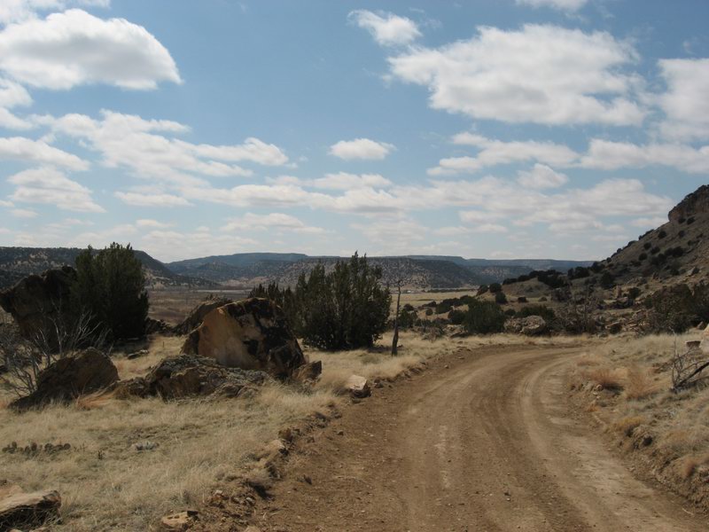
So I keep going on the road toward the historic Rourke Ranche site.


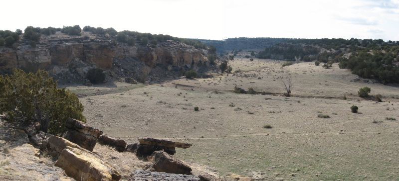
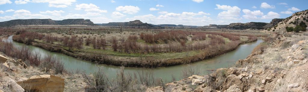
Sweeping view of the upper canyon, the ranch site visible in the distance.


Rourke Ranch Site.

From here, by the Commanche National Grassland map (above) it looks like I'm at the end of the line.

Exploration Begins

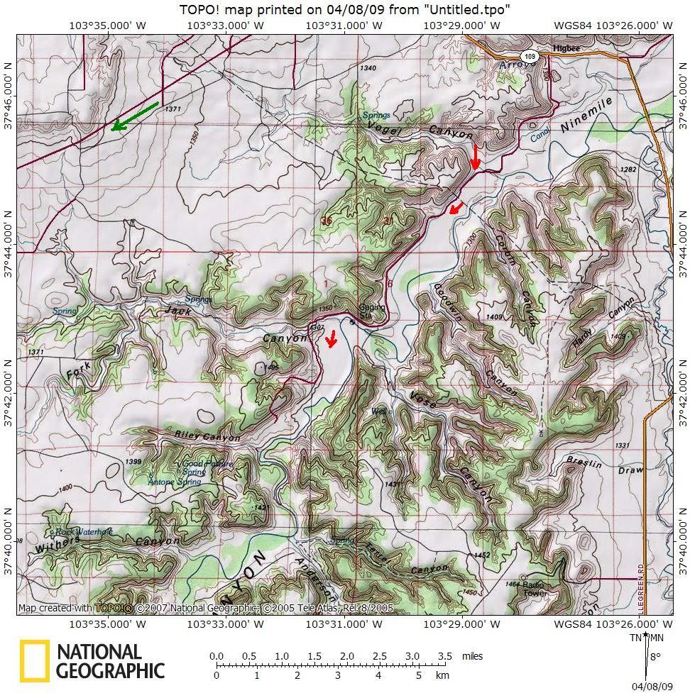
I had elected to set up at the Vogel Canyon picnic area. It's OK to stay overnight there, and it has a dry toilet. Vogel is a small side canyon of the Picketwire Canyon. I've visited it before, so I knew that there were some short trail loops and ancient pictographs. This trip, I was hoping to find a way to get directly down into the Picketwire Canyon so that I could ride up into the part of the canyon that has other attractions such as dinosaur tracks, stage line stations, and a historic ranchsite. The normal way to access that part of the canyon, upstream about 10 miles, is through the Withers Canyon Trailhead. See the map below:


The red arrows show the way I was hoping to find. The green shows the normal way.


Vogel Canyon was pretty in the morning light. I dropped in there and checked out the pictographs.


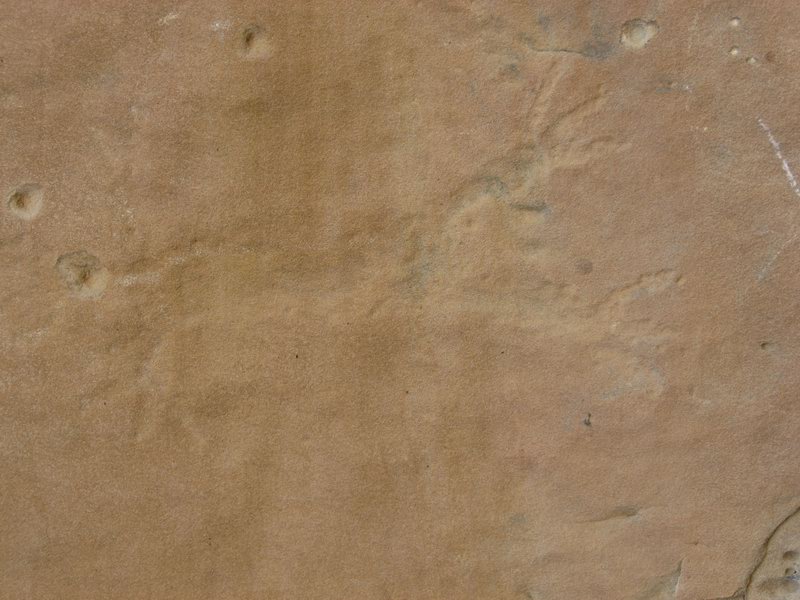
Bunny rabbit?


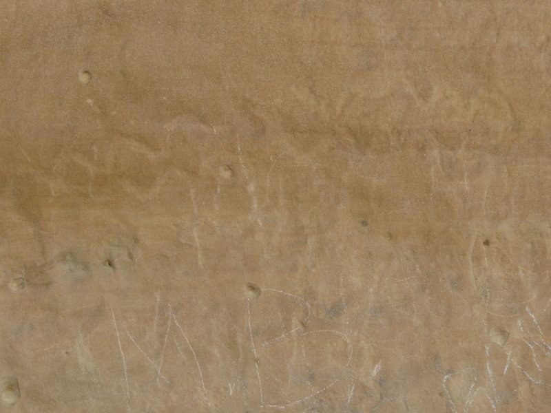
Clearly rattlesnake. Note the dumbass graffiti in chalk below.

After I stopped to check out the cool evidence of early residents, I headed down canyon to see if there was a way through. I quickly encountered a barbed wire fence. I decided that I wasn't going to start crawling over fences this early in the day. I decided to ride the normal way down to the Withers Canyon Trailhead. This involved taking to a wide open prairie dirt road. The cold crosswind worked me over for 7 or 8 miles, then became a tailwind as I headed south on Otero County Road 25.

I reached the trailhead a little over 2 hours after I left the tPOD. I dropped down into Withers Canyon then rode into the Picketwire Canyon:


The old stage road in the Picketwire Canyon. Note the telegraph pole to the right of the roadbed.

Breaking the Wind

I left Saturday after working with the trail crew, mostly busting up rocks that the machine couldn't pry out of the ground.


It was my fourth day in a row of doing trail work. My back was tired, and I was ready to get my legs a little tired for some balance.

There was supposed to be a spring blizzard moving into Colorado Saturday. But as is often the case, the blizzard that the NWS predicted turned out to be wind. I drove east from Salida, hit some intermittent snow squalls as I emerged from the canyon of the Arkansas into Canon City. Then as I headed out onto the prairie toward Pueblo the snow cleared off and I drove into the wind. It was roaring out of the north, rocking my truck and camper as I drove east on highway 50.

Out east between Pueblo and La Junta I saw a pair of Kestrels, one sitting on barbed wire the other on a rigid weed stem. They were leaning their bullet-shaped bodies straight into the wind--horizontal. They looked like something out of a cartoon.

At La Junta I turned south onto Colorado Highway 109. In about 10 miles of bleak short grass prairie I came into sight of "The Cedars", the canons of the Purgatoire.

I parked the tPOD at the picnic area at Vogel Canyon. I popped it up, made some dinner, then read a book for a short while before I got sleepy. During the night, the cold and the rocking wind woke me up. I did not sleep well, and woke up thinking I had just picked a bad weekend for this adventure. Maybe I should just call it, eat some breakfast and head back to Salida. The relentless wind made that seem smart.

But then I came to my senses and decided to Harden the Fahk Up and get on with it.

Tuesday, April 7, 2009

Adventure Weekend


There's a place east and south of Pueblo, CO that's dear to my heart. My dad grew up in Rocky Ford, CO, and his boy scout troop used to go camping "out south in The Cedars". This area is the Purgatoire River Canyon. The Purgatoire flows out of the Sangre de Cristo Range, through Trinidad near the New Mexico border, then diagonals to the southeast to join the Arkansas in Las Animas, CO. As my dad's uncle told me once "The old cowboys around here couldn't say Purgatoire so they called it the Picketwire."

The river is locally known as the Picketwire, and there's a Commanche National Grassland rec area with a really cool set of dinosaur tracks in there. There is also a vast network of red rock canyons, very similar to what you see in Utah's Canyonlands NP, between Trinidad and CO Highway 109. And almost nobody but residents of Otero and Las Animas counties know about it.


The Army, Fort Carson in Colorado Springs specifically, has had a maneuver site where they practice war-making north of the river (the Piñon Canyon Maneuver Site, aka PCMS). The Army has plans to radically expand the site to suck in some absolutely beautiful and remote canyon country. The plan would also displace many, many multi-generation ranch families, acquiring their ranches by eminent domain. See this site:

http://pinoncanyon.com/

I don't have enough time this morning to fully tell my story, but I made a scouting trip down there to possibly find a huge loop that would allow for many memories to be made and pictures to be taken. And maybe raise some awareness about what we may quietly lose. 

More will be coming, but here's a teaser:


Wednesday, April 1, 2009

No Foolin' - diesel-powered trail building!

My group, Salida Mountain Trails has been working with the City of Salida and the BLM to build a trail network for several years. The City has been very cooperative over the years. But this year they've been more than helpful--they've been buying stuff that we can use and hiring crews to help us build trail.

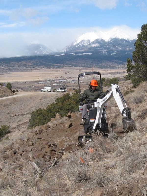
Here's Andrew running a brand-new Bobcat 418 mini-excavator in a driving snowstorm:


And here's a Southwest Conservation Corps crew starting a month-and-half stint of full time work on behalf of the City of Salida:


It's an exciting time here in Salida. We are going to make the most possible out of the contribution that the City is making. And it starts today, April 1. No foolin'.

Wednesday, March 25, 2009

Rubble of Initiation

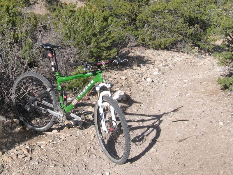
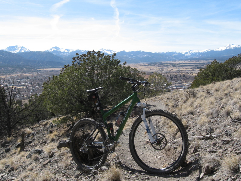
Took the new sled down Lost Trail for the 2nd time to make sure she understands Salida rubble riding. This is just above the funnel full of baby heads, the crux move in the descent of Lost Trail:


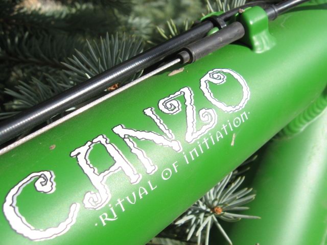
Ritual of Initiation. For Salida, that translates to chaotic descents down unpredictable chutes full of loose rock and gravel.

Friday, March 20, 2009

Yip yip yip

My new Voodoo makes me feel like these guys feel about their radio:

Thursday, March 19, 2009

Dialed


This morning I had a pro Specialized Body Geometry 3D fit on my new Voodoo at Absolute Bikes, then in the afternoon I rode the 2,000 foot climb up Ute Trail and descended Cottonwood. Mmm. Good.

I've got shock pressures dead on. Still a little tuning and tinkering to do on the Rock Shox Monarch rear shock--it's a new gadget for me. But for the most part all is well.

This bike's handling is growing on me.

Sunday, March 15, 2009

First layer of dust

My Sweetie and I packed up bikes and headed to Pueblo to ride the Pueblo Lake State Park trails.


So, how does she ride?

Nice. A very different bike from full suspension 29ers that I have ridden before. The Joe-tuned geometry is evident. She's a little steeper up front than most full-suspension 29ers I'm used to, and there is a corresponding quickness that's unusual for a 29er. Longer and heavier than the Dambala (has to be--it's a fully), but the steering feels quicker.


Every new bike takes a while to get used to. I'm looking way forward to getting used to this one.

New Sled takes shape!

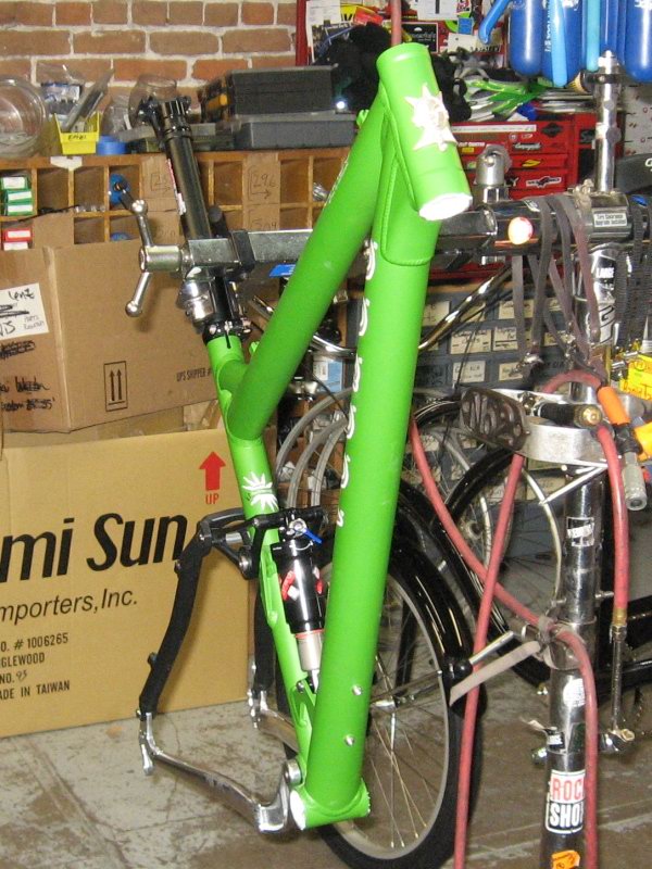
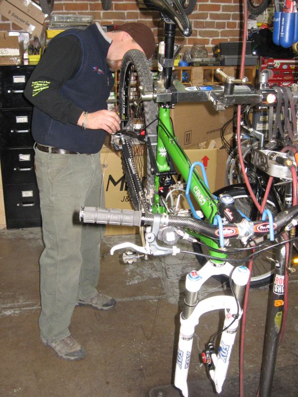
Brown Santa showed up at Absolute Bikes with my new VooDoo Canzo29 frame on Friday. There was plenty going on and not enough mechanics doing it, so the frame got hung from a hook waiting for its chance to get built up.

On Saturday night, Banks called me offering to meet me at the shop at 8 AM Sunday, 2 hours before time to open up so that we could slap the parts on the new sled. I wasn't sure we could get done in two hours, but it sure wasn't an offer I was going to turn down.


bare frame, faced and chased and ready for the next thing.

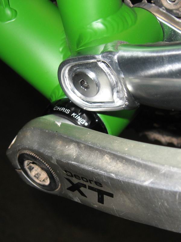
This will be my first bike with a new flavor of King Bling:


Chris King bottom bracket? Oh yes.

There's nothing like an experienced bike mechanic doing what he does. Scot was fast. At 8:00 AM he was picking his facing tool out of the drawer. At 8:55 it was all done but for checking out shock pressure and setting my saddle height. Damn.


Banks finishing up.

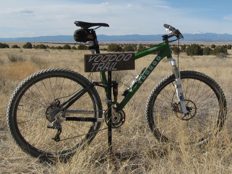
Ready for the maiden voyage!

Saturday, March 14, 2009

Run Through Time

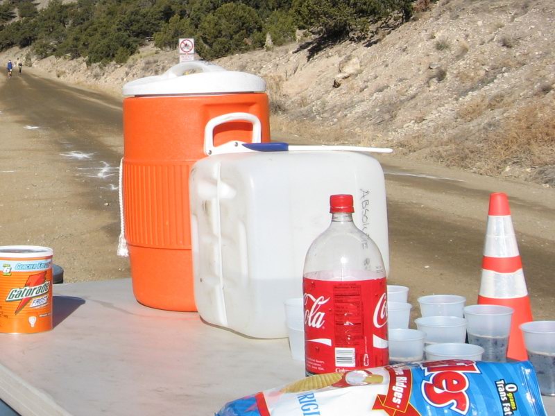
Saturday I helped out running an Aid Station for the 2009 Run Through Time dirty Marathon. The event is the creation of Jon and Ricky, the husband-wife team that have run the Vapor Trail 125's 1st Aid Station since the first year, 2005. So it's an honor to help out with their event.


Runners like chips, gatoraide and coke!

I rode up to the aid station at near 9,000 feet on my VooDoo Dambala SS. When the show was over I was free to make my first run down Cottonwood of the season.


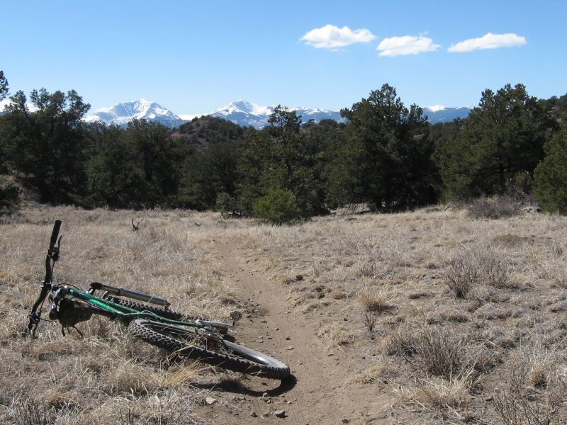
Spring isn't here yet, but it's hard to tell from where I stand.


Wednesday, March 11, 2009

New Ride, Baby!


Yep, you heard right. I've joined the 2009 VooDoo Grass Roots Team. I'll be adding a VooDoo Canzo29 to my stable, making me a 2 VooDoo family. 1 Dambala SS + 1 Canzo29 = 2 VooDoo.

Photos of the new sled will be available soon pending its arrival.

Thanks VooDoo. Honored to be there. It's easy to love rolling those Joe-designed VooDoos!

Tuesday, February 24, 2009

Not so much blogging lately

It's been 4 weeks since my last confession.

Some would say that a blog is dead once there is no post for a month. Yeah, well. Um. Just haven't been posting anything. 

I did a Leadville winter night race at 11,000 feet near Tennessee Pass. I rode in a big, silly century ride in SoCal, rollin' fast. 6 hours 10 minutes including stops. Never blogged those things. Just didn't. Shoulda coulda woulda.

I don't want to declare this blog dead, it's just in a winter dormancy. It'll be back. Promise.

Tuesday, January 27, 2009

Sweetwater Trail

Went to ride Sweetwater, one of Mark Flint's latest contributions to Tucson singletrack art. Fast, smooth, beautiful.


Jake, my host for this last bit of Tucson visit, railing it at Sweetwater

Monday, January 26, 2009

Don't (bother) Try(ing) This at Home

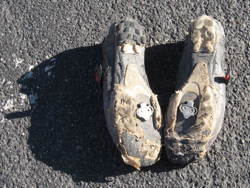
My shoe experiment (http://teamvelveeta.tom-purvis.com/2008/12/eye-talian-loafers.html) has officially proven to be futile. As you can see, after the APC I have one toe patch and one heal patch left.


The shoe goo is sticking to the shoe for the most part, but the tire patches peeled off the shoe goo rather quickly really.

Oh well, it was a good idea anyway.

Sunday, January 25, 2009

Antelope Peak Challenge

Scott and Chad's Antelope Peak Challenge was a great ride. The day was the best since I've been here in AZ--sunny and upper 60's for the most part. A bit of wind in the afternoon, but no big.

I was running late and frenetic when everyone gathered at the intersection of hwy 77 and the Willow Springs Road. I was able to roll with the group at 7:15 AM, but without any time to spare.

The first 8 miles or so were neutral, so the group was all together until we reached Oracle at around 8 AM.

The first singletrack was the piece of Arizona Trail that goes from the Tiger Mine Road to the beginning of the dreaded gasline section. It's rarely used, and often challenging to follow. But it's a sweet, technical bit of trail.
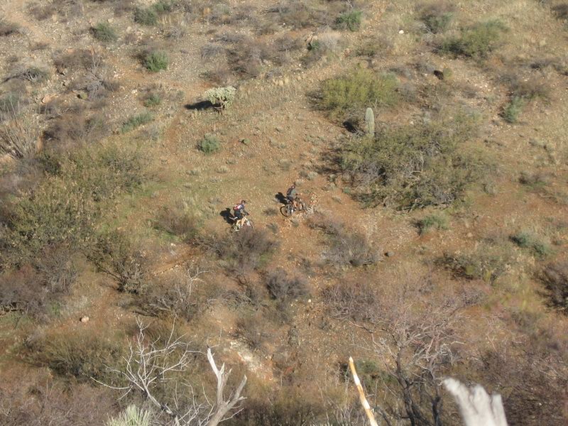


One of these riders is Rob Brinkeroff--he and I played leapfrog all day until he rode past me while I was removing a hedgehog cactus thorn from my foot near the base of Antelope Peak.

The gasline was tough, but it just did not feel as long as it did the time I rode this loop solo and the other direction two years ago. The gasline bit ends in bloodsucker wash, where we rode devilish beach sand for what seemed like quite a while. Probably only 15 minutes or so. Then there was a brief bit of doubletrack over from Bloodsucker to Putnam Wash, where we rode through this old abandoned ranch site:
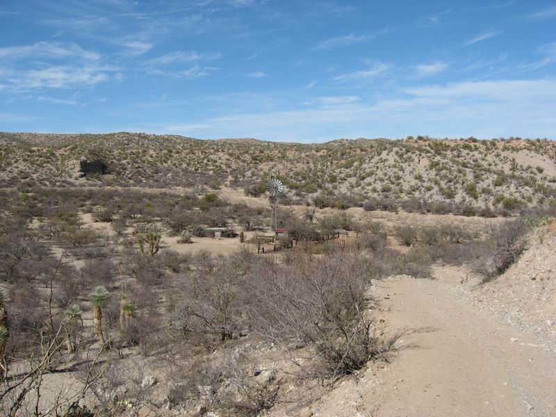


Then it was a short trip upstream in Putnam Wash.
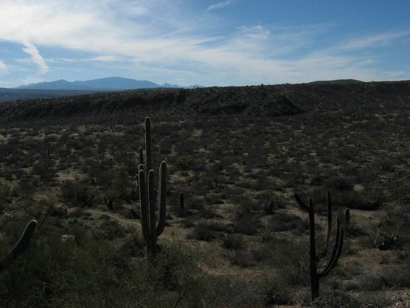

This is a view south across Putnam Wash, where the AZ Trail again becomes singletrack.

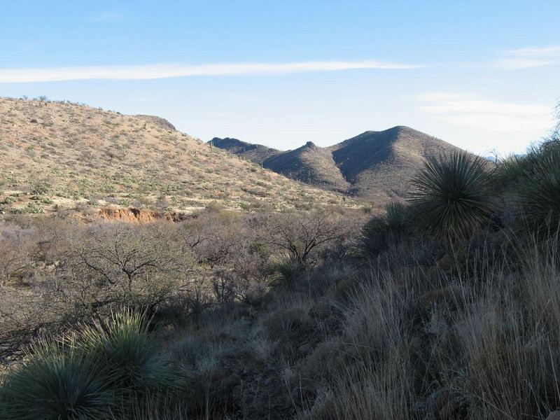
This was the beginning of a section of singletrack that was fiercely overgrown because of its remoteness. The white-spine acacia, cat's claw, palo verde and other various mean and spiny flora drew plenty o' blood on my shins. Oddly, my left leg got ripped really good, but the right was mostly OK. Go figger.
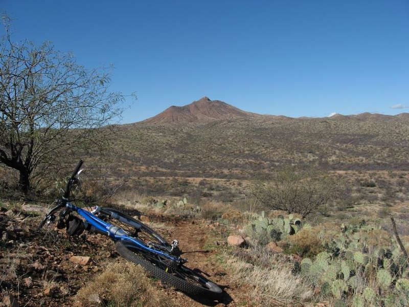

Antelope Peak, seeming close but still nearly an hour away.

Just before reaching the doubletrack at the northern foot of Antelope Peak, I lost the trail completely. Tire tracks were radiating away from the small wash where the trail disappeared. I was wandering through the cactus and brush, looking at my GPS and trying to figure out which direction to go when my foot bumped a hedgehog cactus. Of course, a spine went into the side of my foot. The end was barely protruding from the shoe, so I had to sit down and take off the shoe to yank it. It's always a nice relief to get those little guys out--you really notice it when they're shoved up into your flesh.

After that little ordeal I was just feeling a bit negative about tramping through the brush, so I eliminated the idea of climbing Antelope Peak to get the 75 minute preem and the photo op. I had been planning to go up there. Kind of wish I had done it now.

Instead I got out to the Freeman Road, facing a bit of a headwind as I headed west to the intersection with the Willow Springs Road. Lee Blackwell and another dude, I think probably Veeze Price Andy Stevenson, caught me and we rode together for a while. I was feeling it. They rode off ahead around the intersection with Willow Springs. Not long after, I caught them as Lee stopped to eat. Andy Veeze came with me to ride the singletrack into the Old Pueblo venue since he had not successfully loaded the course into his GPS and he needed a guide to get him there. So we rode together for most of an hour.

When we got the the venue, he wanted to go straight to the finish, but I was intent on doing the bonus lap. So I showed him to "His" and told him how to complete the course. Then I turned back west to ride the lap. I stopped by at June and Phil's camp to see if Phil knew how things were going for June. He had not heard from her, so I went on and promised to call when I finished.

The worst part of the bonus was "the Bitches". It's another bit of gasline, the least enjoyable part of the 24 Hours in the Old Pueblo course. I started riding the course at about 4:10, and rolled off the course under the Willow Springs Arch at 4:59.
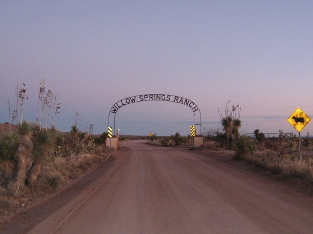


Back to the finish at 5:30 on the mark. Of the 11 men who finished, I was #11 (woo hoo!)

Official results are here: http://rockyroad5050.wordpress.com/aes-results/

Good day. Thanks Scott and Chad!