There were no issues (woo hoo!) so I took a moment to upload my WRIAD photos and post them to Team Velveeta™. Then I ate some lunch and headed to the intersection of 191 and 128 to embark on a Sovereign ride. I had the track log from the Rim Ride Moab loaded on my GPS, and I wanted to ride it on my own without flagging to try to learn a bit more about the layout of Sovereign. During the two trips out there for the Rim Ride, I had just followed flags and other riders without putting much effort into knowing where the hell I was. The other time I rode there, Kathy and I just did a simple out and back following signs. Fun, but not much learning about where to go and how to do a nice big loop out there.
I rode from Moab starting at noon, thinking of a maybe 3 hour ride. I was intending to keep it light. I rode from town largely to have a nice spin to warm up my tired legs before hitting the technical singletrack. It took me a bit under an hour to get to the start of the Bar-M loop. Nice cool day.
From there I started following the GPS. It was a bit disruptive, since there are lots of intersections out there. But it was working well. I saw where I was going without issue, making some surprising and non-intuitive turns.
I got across the big wash and started on the real Sovereign. It was good, but lots of anaerobic efforts that made my legs complain. Such a cool trail--lots of challenging but do-able up ledges, technical drops, great flow.
My GPS was becoming a fairly critical tool. It's a bit of a maze out there. And I was starting to worry about time a little. It was getting close to 3:00 PM and this time of year the danged sunset is around 4:30. Ambient light stays for another hour, but still, I was getting close to the time I had intended to be out there. Also I wanted to be able to find a decent campsite out toward the Castle Valley with at least a bit of light left. And most importantly I hadn't really packed clothing, food, or lights that would allow me to be out there past dark when with hope of getting myself out. The temps drop rapidly after dark, and it was only about 50° F to start with.
Then I came to an intersection. I consulted the GPS, and it showed that I was off the course. Not by much, but off. I backtracked and found that it appeared I should be following a was down. But it was fairly overgrown, and did not look like it had been ridden, maybe ever. Harumph. My track was from the '07 Rim Ride, so I considered that perhaps the trail had been rerouted. I went back to the intersection and took the fork that headed in the general direction that my track line went. Before long, it appeared that I was back on the line, but it took several disruptive stops to confirm that.
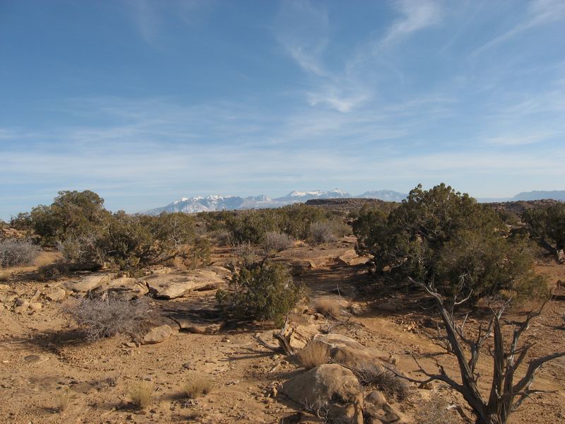
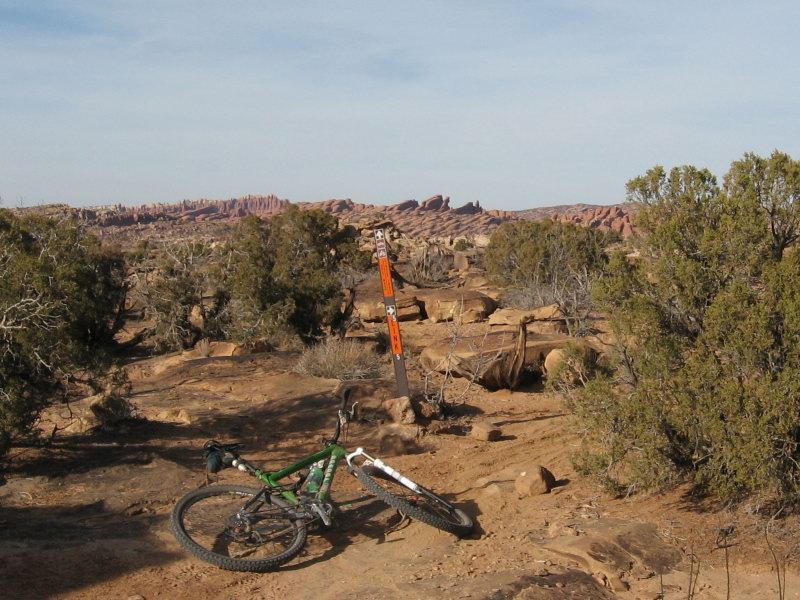
Shortly I came to another intersection. I referred to the GPS and it looked like I should go left rather than continuing straight. This made sense too because the straight option appeared to take me right back toward town and I knew that I needed to head farther north. So I took the fork. The following pictures were the only ones I took, and they came from that intersection.


After about 15 minutes I looked at the GPS and I was off the line. Way off. I seemed to be heading left of where the line went. But it was confusing. I did not have much perspective. I was trying to zoom the map in and out, and suddenly my GPS rebooted itself. Grrr!
No real choice but to backtrack. It took longer than I remembered to get back to that intersection, and I saw at least one place that looked to me to be exactly where the intersection was, but no intersection. I started not having fun. Then I came to the intersection where I went wrong, and the GPS was no longer showing my track except for the backtrack. When it rebooted it seemed to have shit the bed in terms of giving me my breadcrumb line back. My temper spiked. Now it was almost 3:30. I looked west toward highway 191, and got into touch with how panicked, disoriented people could commit the worst possible desert country mistake, heading cross country toward where you know you want to be.
I started hurriedly backtracking from memory. The GPS stayed in the backpack pocket. I didn't waste time. I was not smiling. I felt tired and wanted to be back to the tPOD.
It took actually very little time to get back to the big wash. I had been mostly climbing outbound, so I was able to rock along pretty fast back out. Then I got back out to the old highway that parallels 191. I had about 20 minutes of flat to get to the long downhill back into town.
I got back into Moab at about 4:30. Bummer that the ride turned into a bummer. And I was tired. Not what I wanted for a recovery day. I called Kathy and then headed upriver on 128 to find my campsite.
The day ended well. I got a good, private place to set up the tPOD and got a good dinner and good night's sleep.


1 comment:
nice pics...keep the write-ups coming!
Post a Comment