
Started out spending two hours climbing into a stiff headwind. Man have we had wind this Spring! Then I made it to the CT for the grim hike-a-bike up to the high point of the whole day at around 10,200 ft. From there I embarked on the burly up and down toward Raspberry Gulch.
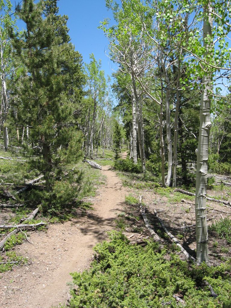
The Colorado Trail just north of the Mt Shavano trailhead
Pretty day, and I found shelter from the wind along the front of the Sawatch Range.
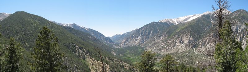
Chalk Creek Canyon as seen from Colorado Trail overlook just south of descent into canyon
Time to drop down to 8,220 to the Chalk Creek bottom, then down the road a few miles to Mt Princeton Hot Springs. Then up and up to the Mt Princeton Colorado Trailhead at around 9,500 ft.
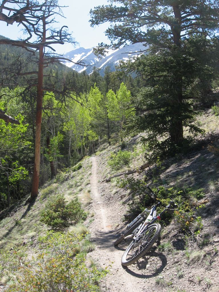
The Mt Princeton section of the Colorado Trail
I intended to ride up the Colorado Trail until I hit the 10,000 ft mark, but I just didn't have the stones to do it. I was getting tired of being on the bike, running low on water, and ready to be home eating dinner then sitting on my butt.
I wound up with a 59-mile day and nearly 6,600 feet of climbing. I got home feeling tired enough and at least had some pretty pictures.
No comments:
Post a Comment