Wednesday, January 27, 2010

2010 Leadville Winter Series #1

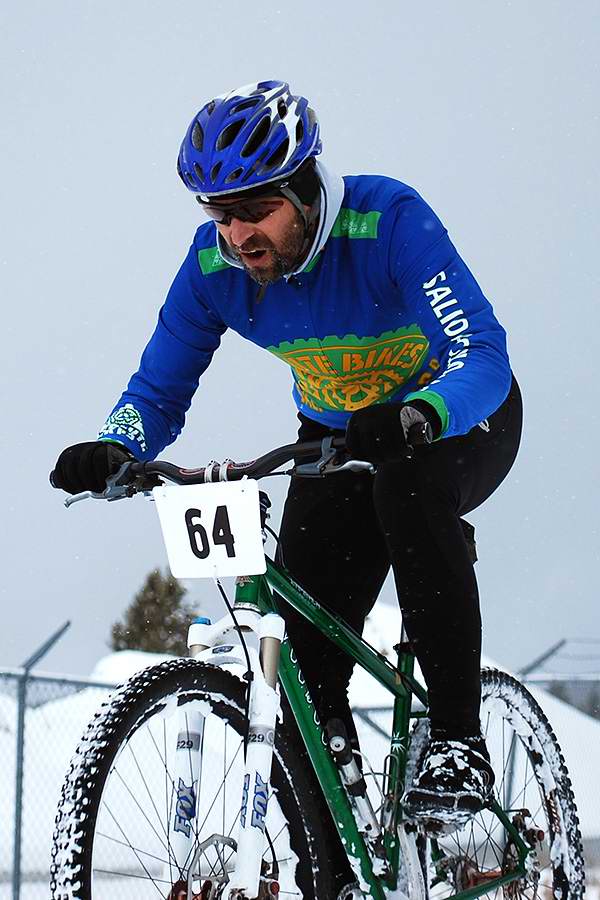
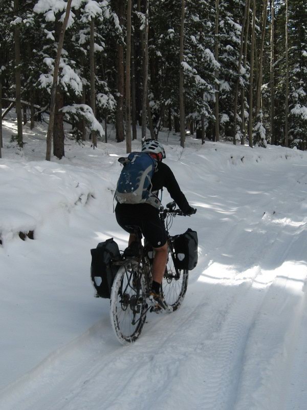
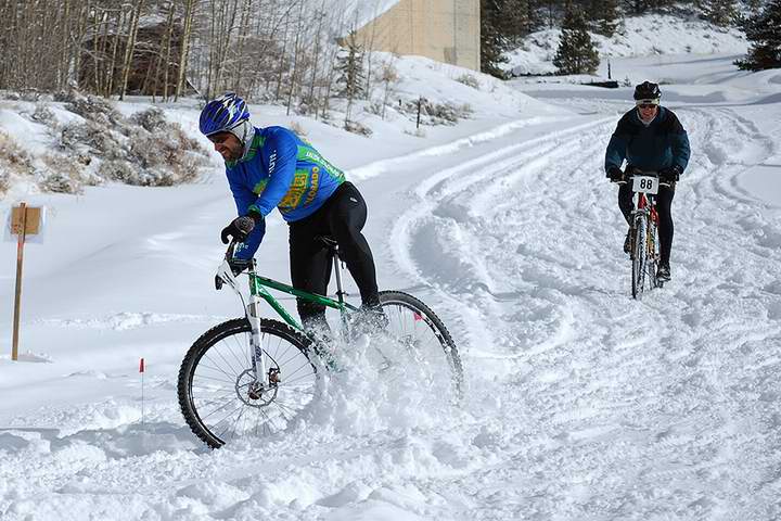
Went up with Shawn to roll around in the snow this past Saturday, trying to avoid vomiting. (I know, it's kind of ancient history now that days have past).

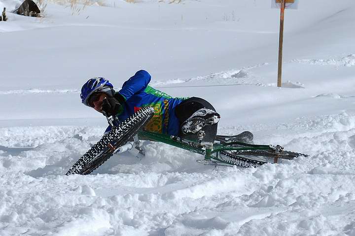
But now I have pictures! First, a falling down action set:


What is that, some ice under there?


Hmm, yep, I think that was ice.


It was a good time. Lots of fresh, fluffy snow on top of everything. It was tough going, but it's always fun to hang out with those Leadville peeps.

Wednesday, January 13, 2010

First 2010 visit to Lake Pueblo State Park

In winter, a Colorado mountain biker craving a singlestrack fix can visit a state park on the southwest side of Pueblo and almost always find it dry. And it's fun there.


Yesterday I headed down there primarily because I needed to do some things that are not available in Salida. I had planned a bike ride into the trip.

I got up yesterday morning and looked at my email, as is my habit. There it was, a reminder that I had a meeting at 3:30 back here in Salida. Dang! I considered re-scheduling, then decided that there was one time-consuming task that could happen some other time, and that I could make it work even with a bike ride, though it might have to be time-limited. But making that happen meant leaving the house earlier than I'd planned. Like, as soon as I could get going.

So I hurriedly got my stuff, loaded the singlespeed, started up the cold, cold truck (it's been plus or minus 0° F every morning since Christmas) and rolled east on highway 50 down the Arkansas River canyon.

I got stuff done quickly and methodically, and then made my way to the trailhead.

By my calculations, I had about two hours to ride before I needed to head back. The weather was idyllic. Not a breath of wind. Not a cloud. Right around 60° F. Ah, lovely. I looked at the trail snaking off into the canyons and had a giddy little flutter in my heart. Other riders were embarking.

I put my bike together. "OK, need to do the parking lot superman routine. There are my shorts. Oh yes, I should have the sidis handy so I can step right into them. Wait, my shoes? Did I bring them?"

The reality washed over me. I never put them in the truck. In my rush to leave the house, I left probably the most necessary part of my riding kit. I could ride with whatever shirt I was wearing, and even could ride with my carhartts. Gloves, sunglasses, not necessary. Helmet is pretty damned important.

But shoes are a show-stopper.

I gazed sadly out at the singletrack, a rider happily rolling down a gradual hill at the beginning of his ride. I kept my temper in check. For a long minute I stood looking out there. Then I decided to just make the best of it. I put my bike away, locked the truck, and strode off down the trail. I took a walk.

Sometimes the day just doesn't go the way you want. Sanity comes from learning how to deal.

Friday, January 8, 2010

We don't need no Steenking Thule Racks


Think you need a fancy rack for your light, tiny mountain bike, think again.

This photo courtesy of my friend Wes (click it for the big size).

His email read:

My cousin snapped this pic while traveling through the panhandle

We have much to learn from our friends to the south.

Wednesday, January 6, 2010

Summer memory

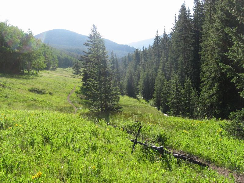
I was trolling through my photos yesterday looking for some images for a project when I stumbled across this one from a post last summer:


It was an early morning shot taken while descending the Silver Creek Trail with Lee Blackwell.

As I ride around dodging patches of glare ice here in central Colorado, this image takes me to a warmer, greener place.


Monday, January 4, 2010

Tarmac Daddy, Daddy Tarmac

I struggled, but now I have relented. As often happens this time of year, I have begun to enjoy road riding.

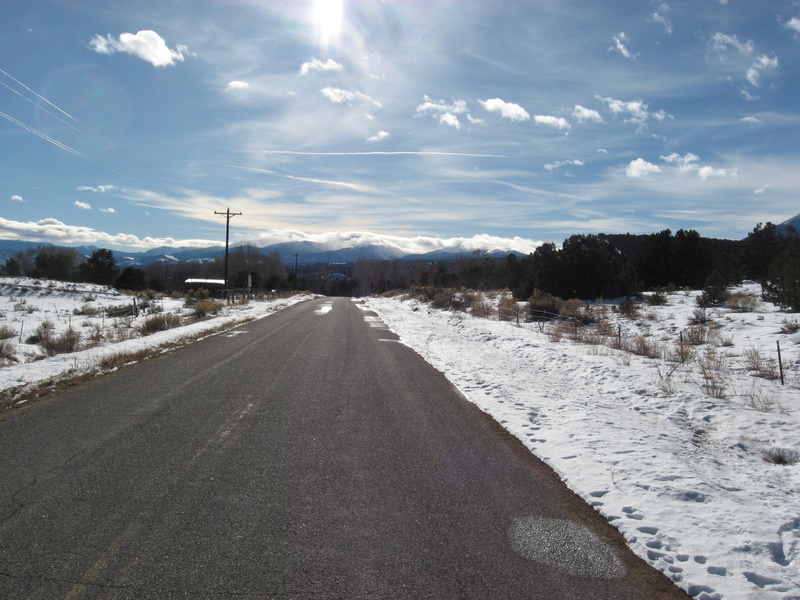
I put on warm stuff and I try to choose the warmest time of the day. Sometimes, like yesterday, it seems as if it will never warm up enough to be enjoyable. Then I go outside for something mid-afternoon and discover that, yes, even though the thermometer shows a temperature south of 30° F, the sun and still air make it feel fine for a ride.


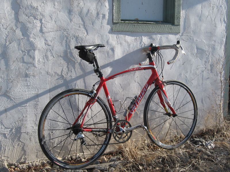
My Roubaix

Yesterday I scrambled, leaving the house at 3:40 PM to do a 1+ hour loop. The sun sets around 4:30 here since we have such a formidable ridge of mountains to the southwest. And when the sun sets, things start getting really cold right quick-like. I rode like a crazed wildebeest. Got back about 10 minutes after sunset, feet numb with cold. But I had a good ride.

I've had my red Roubaix for two and a half years now. It's the perfect road bike for me. Nice mix of performance and comfort/stability. It has a SRAM Rival group. It's a good solid group; very good value. Like all SRAM drivetrain gear, the shifts are direct and the shifters feel like high-quality, robust equipment. But I don't think I'll ever really like the idea of double-tap. Since you have to push the trigger harder past the click for an upshift to get a downshift, every once in a while when I'm going for a downshift and don't give it enough shove, or if my finger slips, I get an upshift.

But I don't race. I don't even ride it much other than in winter.

Also the cranks have too narrow a q-factor for me by far. I have pedal extenders on them, which are steel and quite heavy.

I sometimes consider getting a new set of 105 or Ultegra cranks for it, or even getting a whole 105 group.

But I don't race road! And I don't use it much other than in winter!


Ah but it's good to be enjoying the smooth, quiet serenity of riding through crisp, clear winter air. And I'm arresting my slide into sloth and obesity.

Now, what time is it? Does the thermometer read 25° F yet?

Friday, January 1, 2010

2009 is being dropped, Purvis ATTACKS!!

The new year finds me OK. For me, 2009 was medium. Strikes and Gutters. But lots of really good stuff.

There were some really good things, like finishing the Vapor Trail 125, and seeing my silly little business (ArkansasValley.Net) make as much in one year as in the combined six prior years it's been in existence. And Salida Mountain Trails had a great year. We built more than two miles of new singletrack since last January.

And of course spending the whole year with Kathy, my pretty little sweetie.

The not so good stuff? Well it's bound to happen. Might as well figure out how to deal. I'm turning 46 this month, and I'm still learning.

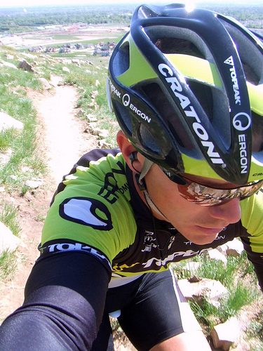
Today I rode as long as I have in a while. It was around 30° F and sunny. A bit breezy, but not too bad. I bundled up and took to the pavement. I decided to take a self-portrait in the Kerkovian tradition, as practiced by the master:


The legend, Jeff Kerkove, in a characteristic self-portrait

Then there's yours truly, the goober of Chaffee County:


My kerkovian portrait just does not have the same pop. Gotta work on this. And geez, wipe yer nose for Christ sake.


It really was a pretty day. I think 2010 might just work out to be pretty decent. We make our own good fortune, and disasters are disasters when we allow them to take on that role.

Good luck to everyone out there. Hope you all find the goods.

Tuesday, December 22, 2009

Back toward the lighter side

Today the northern hemisphere stops getting shorter days and longer nights, and moves in the other direction.


I always note the passing of the winter solstice with approval. The dark part of the year isn't good for me. And this year autumn came with some really wintery weather.

Yeah, we have several dark months ahead, but it's only up from here.

I haven't posted for a while. Generally I don't post when I'm bitchy. Kathy and I did get back from an Arizona trip Sunday night.


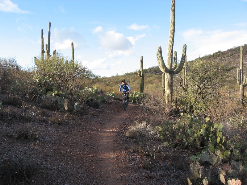
Kathy riding on some signature Mark Flint singletrack on the AZ Trail in the Rincons

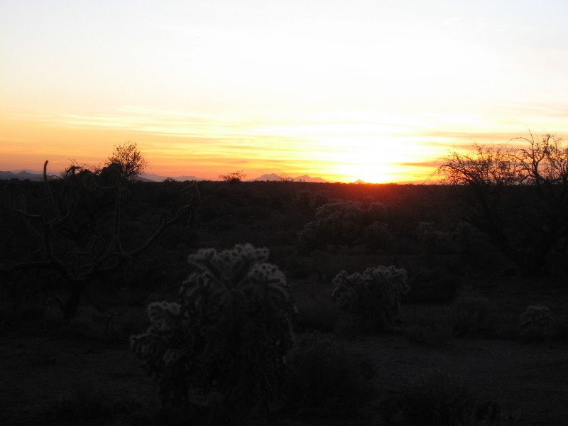
It was a good trip. Kathy had not really seen southern AZ, and we spent most of the time just out away from things, charging the tPOD battery off the generator and eating out of the cooler.

The change of scenery was helpful. The passing of the solstice is helpful. The planet's wobble up is done for this year. Let the wobble down begin.

Tuesday, December 1, 2009

Me too.

It's all the rage. I can download free software and type with the best of them. Here's my contribution to the world's dumb-ass video humor:


Monday, November 23, 2009

Sovereign Smackdown - The Rest of the Story

In the warm, safe space in front of my computer I downloaded the tracks from my GPS and had a chance to try to figure out what the H-E-Double Toothpicks was going on Friday on the Sovereign Trail when I had a conniption fit trying to follow the Rim Ride Moab track.

Here's the deal:


The green line is the track from Rim Ride Moab '07 that I was following. The red line is my tracklog from the ride Friday.

The arrow at the bottom points to the place where I briefly left the track rather than following a wash that did not seem to have a trail in it. I think there must have been a re-route. And it was a good one. A bit more distance, but I remember liking that bit of trail.

The other arrow points to where I stopped and turned around, and where I had probably come to within about 100 yards of joining back onto the track having taken a climbier and more difficult link (Link 5 it looks like from my photo).

Point is, I was damned close to already back on track (literally and figuratively). I was actually on something of a shortcut. But almost there. And furthermore, I was probably closer to finishing out the Sovereign to 191 by following the track I had been following than I was turning around and going back to 191 the way I came. If not closer sticking with Plan A, the options were at least close to even money.

What can you say? Sometimes perception is reality (well, it always is actually). I perceived that I was getting hopelessly lost and facing the danger of spending the night out there, and my anxiety caused me to take the safe route, so I turned back. Five more minutes and I would have been back on the track I was following and breathing easy.

Ah well. So many chances to gain wisdom in this life. So few actually work out that way.

Koko Catalog

For Sunday I decided to just go ride some known killer singletrack, not exploring just having fun while always knowing where I was and what was ahead. I went to the Loma Exit Trailhead to ride what I call the Mack Ridge Trails, but most know as the Kokopelli's Trailhead.

For the first time I rode Rustlers, just to see it from a trail system designer's standpoint. What a cool resource!

Then it was off to ride from Mary's to Horsethief, then Steve's to Lion's Loop to Troy Built to Mack Ridge...

Images (click on these if you have a big resolution display and want to see them in the full bigness that doesn't show on Team Velveeta™):

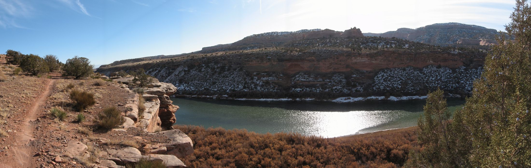
horsethief - click for hela-big image
From Horsethief Bench

another horsethief - click for hela-big image
Another from Horsethief

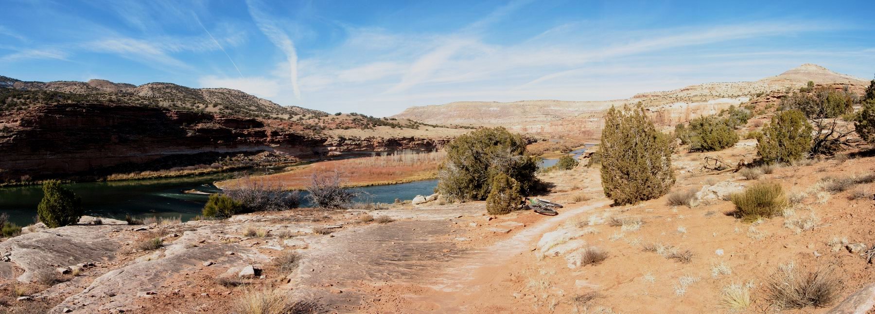
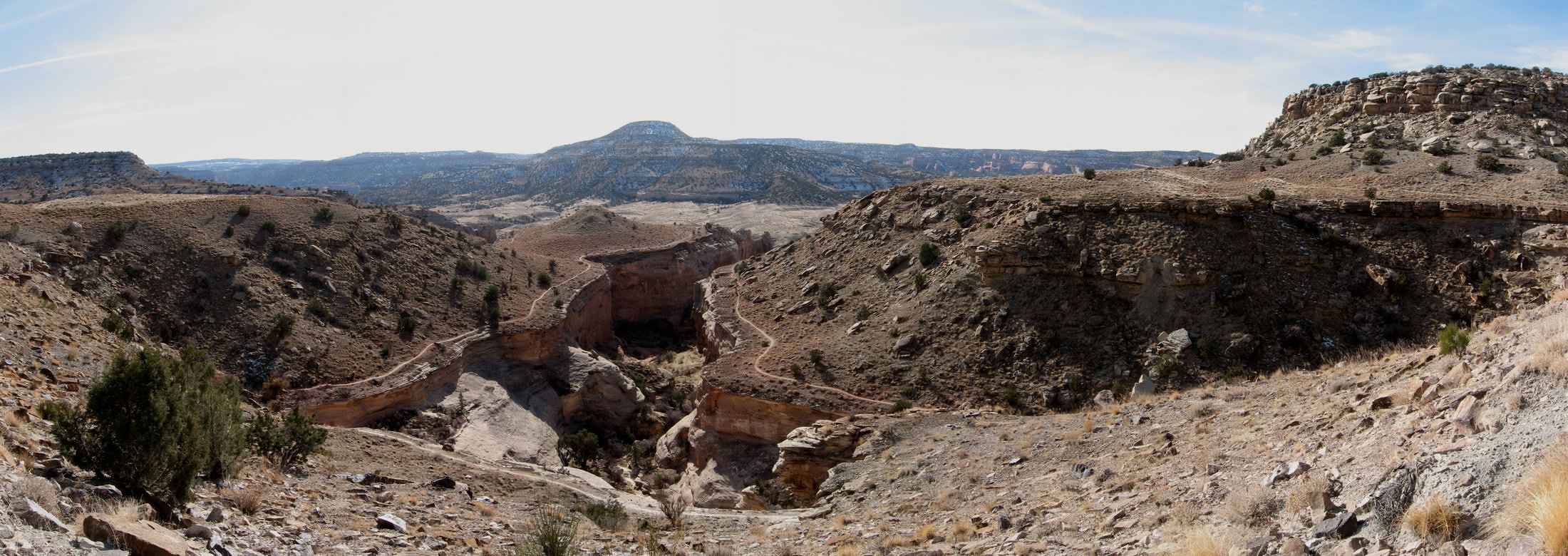
steve's loop - click for hela-big image
Down onto Steves from the last big of Steves up on the bench

view to east from Lion's - click for hela-big image
The big picture from Lion's loop looking back toward Mary's and upriver

When I finished up Troy Built I was suitably tired, and time was getting late since I wanted to drive home that night. So I just took the frontage road back to the TH.

Those trails are my favorite of Fruita. I don't really get tired of them. 18 Road is fun, but not near as pretty, and not as techical and complex.

Good trip. Roughly 200 miles of dirt in 4 days of riding. Tired legs, but a good departure from the rapidly closing winter in Salida.

Sunday, November 22, 2009

Dirty Onion

I camped at the Onion Creek Campground, less than a mile south from highway 128 about half way to Cisco from Moab.

In the morning I wanted a ride, but a truly mellow ride. The Onion Creek road goes up to Fisher Valley, and it looked to be graded gravel all the way up. No complicated route-finding. No anaerobic short climbs. Sounded like a deal. And I'd never explored the Castle Valley area, so it seemed like a good fit.

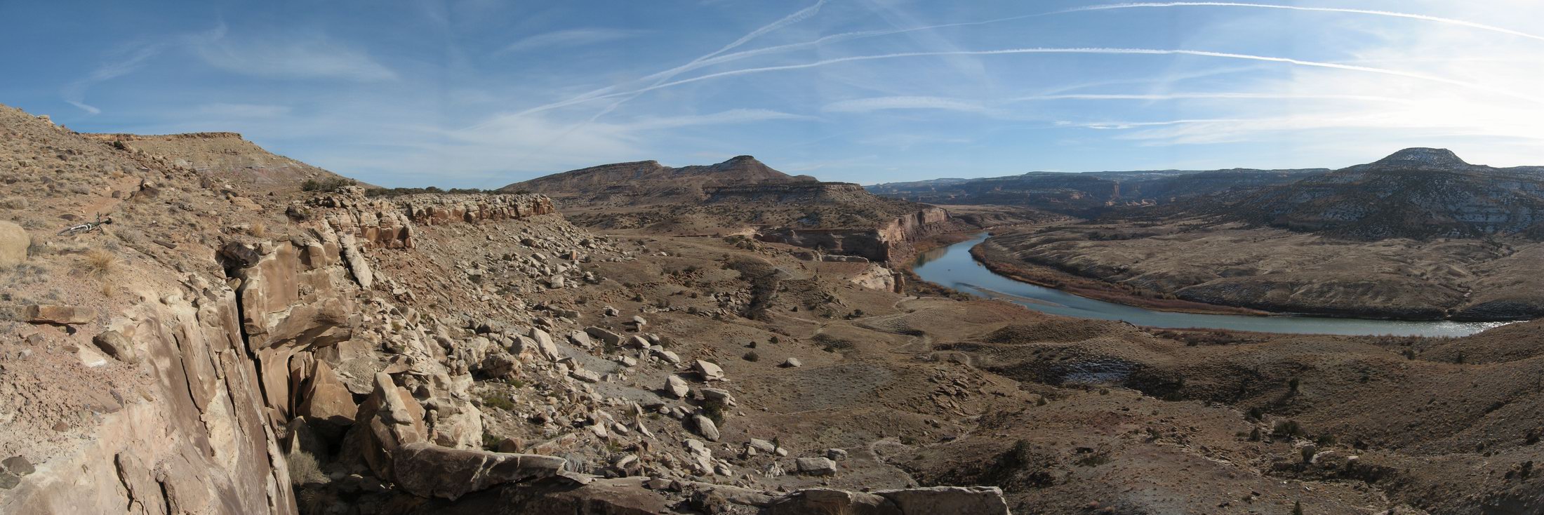
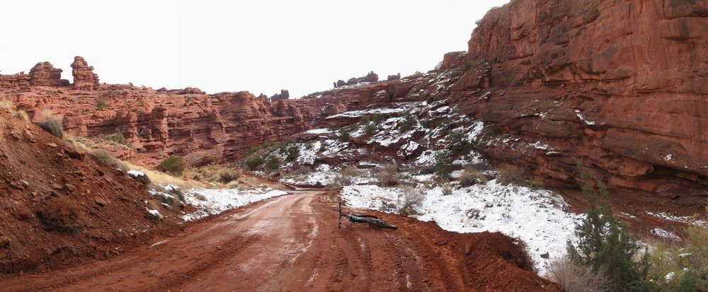
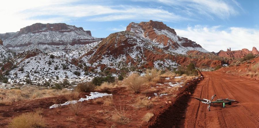
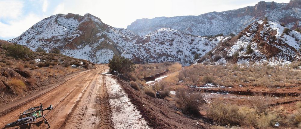
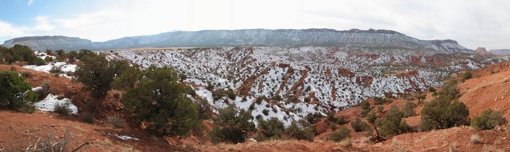
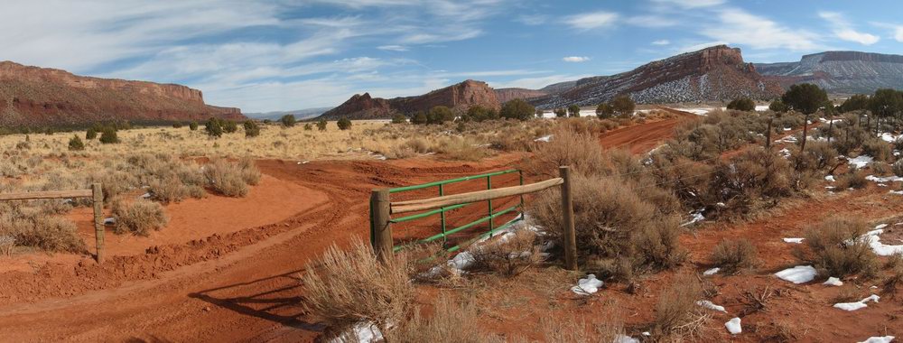
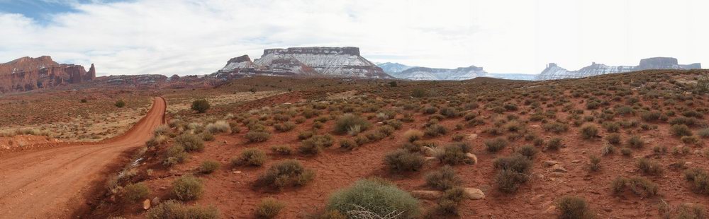
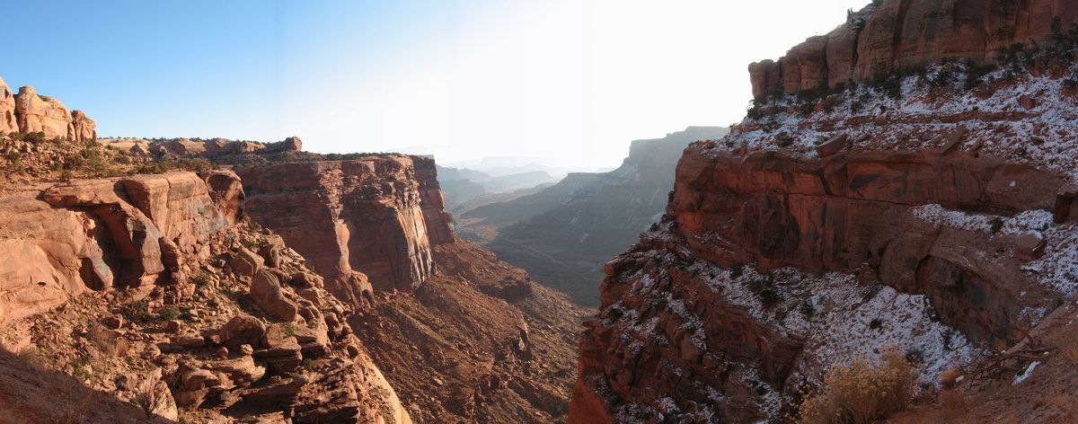
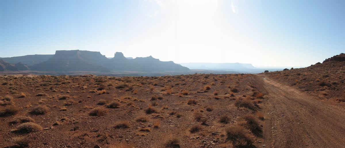
I'll just let this series of panorama shots tell the story. Other than one thing: this is a good ride to take somebody else's bike on. You cross Onion Creek 22 times, only once on a bridge. I've heard that it's called Onion Creek because it's so laced with salts and arsenic that it tastes more or less like an onion. Up near the entry to the Fisher Valley, it smells like sulfur, not so much below.

But all those shallow crossings and then the sandy exits spraying wet sand onto the drivetrain make a sloppy mess of grinding paste. My bike was a fugly mess when I finished.

Now, on to the photos:


I came to just the verge of the Fisher Valley. It's the flat platform visible in the middle left.


Parting shot of the Castle Valley as I headed back toward Colorado with my dirty bike loaded up to travel

Saturday, November 21, 2009

Sovereign Smackdown

Friday, the day after my WRIAD, which had me on the bike for just shy of 12 hours, much of that time operating at a fairly non-casual pace, I broke camp in the Green River Canyon and drove into Moab. I went to the library primarily to check on a web application I wrote that went into production this month. There had been some fairly major SNAFUs, so I needed to be sure that my customers were not twisting in the wind with another showstopper, wondering why I wasn't answering email.

There were no issues (woo hoo!) so I took a moment to upload my WRIAD photos and post them to Team Velveeta™. Then I ate some lunch and headed to the intersection of 191 and 128 to embark on a Sovereign ride. I had the track log from the Rim Ride Moab loaded on my GPS, and I wanted to ride it on my own without flagging to try to learn a bit more about the layout of Sovereign. During the two trips out there for the Rim Ride, I had just followed flags and other riders without putting much effort into knowing where the hell I was. The other time I rode there, Kathy and I just did a simple out and back following signs. Fun, but not much learning about where to go and how to do a nice big loop out there.

I rode from Moab starting at noon, thinking of a maybe 3 hour ride. I was intending to keep it light. I rode from town largely to have a nice spin to warm up my tired legs before hitting the technical singletrack. It took me a bit under an hour to get to the start of the Bar-M loop. Nice cool day.

From there I started following the GPS. It was a bit disruptive, since there are lots of intersections out there. But it was working well. I saw where I was going without issue, making some surprising and non-intuitive turns.

I got across the big wash and started on the real Sovereign. It was good, but lots of anaerobic efforts that made my legs complain. Such a cool trail--lots of challenging but do-able up ledges, technical drops, great flow.

My GPS was becoming a fairly critical tool. It's a bit of a maze out there. And I was starting to worry about time a little. It was getting close to 3:00 PM and this time of year the danged sunset is around 4:30. Ambient light stays for another hour, but still, I was getting close to the time I had intended to be out there. Also I wanted to be able to find a decent campsite out toward the Castle Valley with at least a bit of light left. And most importantly I hadn't really packed clothing, food, or lights that would allow me to be out there past dark when with hope of getting myself out. The temps drop rapidly after dark, and it was only about 50° F to start with.

Then I came to an intersection. I consulted the GPS, and it showed that I was off the course. Not by much, but off. I backtracked and found that it appeared I should be following a was down. But it was fairly overgrown, and did not look like it had been ridden, maybe ever. Harumph. My track was from the '07 Rim Ride, so I considered that perhaps the trail had been rerouted. I went back to the intersection and took the fork that headed in the general direction that my track line went. Before long, it appeared that I was back on the line, but it took several disruptive stops to confirm that.

Shortly I came to another intersection. I referred to the GPS and it looked like I should go left rather than continuing straight. This made sense too because the straight option appeared to take me right back toward town and I knew that I needed to head farther north. So I took the fork. The following pictures were the only ones I took, and they came from that intersection.
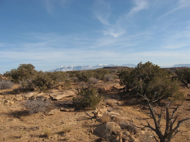
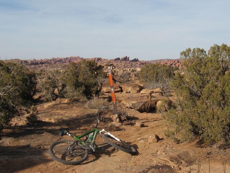


After about 15 minutes I looked at the GPS and I was off the line. Way off. I seemed to be heading left of where the line went. But it was confusing. I did not have much perspective. I was trying to zoom the map in and out, and suddenly my GPS rebooted itself. Grrr!

No real choice but to backtrack. It took longer than I remembered to get back to that intersection, and I saw at least one place that looked to me to be exactly where the intersection was, but no intersection. I started not having fun. Then I came to the intersection where I went wrong, and the GPS was no longer showing my track except for the backtrack. When it rebooted it seemed to have shit the bed in terms of giving me my breadcrumb line back. My temper spiked. Now it was almost 3:30. I looked west toward highway 191, and got into touch with how panicked, disoriented people could commit the worst possible desert country mistake, heading cross country toward where you know you want to be.

I started hurriedly backtracking from memory. The GPS stayed in the backpack pocket. I didn't waste time. I was not smiling. I felt tired and wanted to be back to the tPOD.

It took actually very little time to get back to the big wash. I had been mostly climbing outbound, so I was able to rock along pretty fast back out. Then I got back out to the old highway that parallels 191. I had about 20 minutes of flat to get to the long downhill back into town.

I got back into Moab at about 4:30. Bummer that the ride turned into a bummer. And I was tired. Not what I wanted for a recovery day. I called Kathy and then headed upriver on 128 to find my campsite.

The day ended well. I got a good, private place to set up the tPOD and got a good dinner and good night's sleep.

Friday, November 20, 2009

WRIAD Nov 19, 2009

Vision quest.

I camped (in the tPOD) near the bottom of Horsethief Bench. Got started at about 5:30 AM under a clear starry sky, frost on the rocks and sage. I was going clockwise, so I started out climbing Horsethief and then the long grind up the Mineral Bottom Road. I got to highway 313 around 7:45 AM. Dropped in to Shaffer about half an hour later. The view down toward the Rim in the early light was spectacular.


Once I got to about Musselman Arch, I was more or less committed. No easy way back to the camper, either by continuing on or turning back. And it was mostly deserted on the Rim. Saw one pair of dudes driving back toward Shaffer with bikes on their truck, and a Park Ranger patrolling on his bicycle between Gooseberry and White Crack. From there I was solitary until I saw some goobers on 4-wheelers (AKA Lawn Tractors) just before returning to near the bottom of Horsethief.


The thing I dislike about my Osprey T22 is that I don't seem to be ever able to wear it without it bulging with volume and heavy. I had extra water, and of course all the clothing I needed to start out in 28° F temps. And food... in short I needed to have lots of stuff to be out there. One major mechanical and I might need to spend the night out there walking. But needless to say I got tired of that pack.


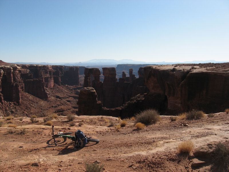
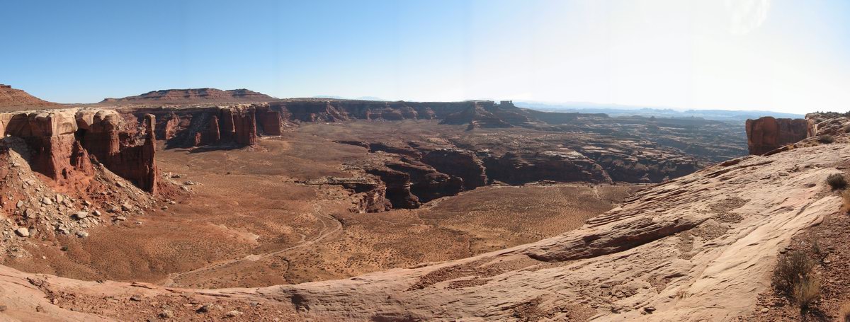
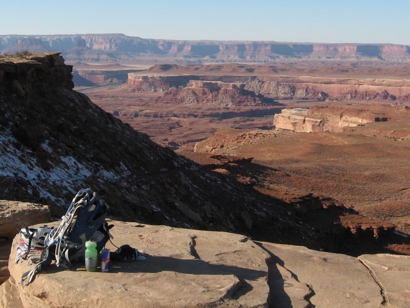
Here's where I had my lunch burrito. First glimpse of the Green River (upper left) which I must say I was happy to see.


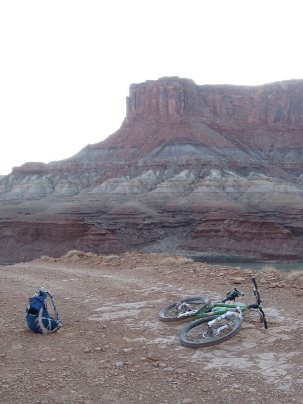
Finally a shot of pack and bike with Green River in background taken from Hardscrabble. I was worked by this point, and considering with obsessive focus the full description of what I would eat when I returned to camp.


Finished up at about 5:25 PM. I was pushing hard through the gathering cold and darkness. Just avoided needing to stop to put on clear glasses and more clothing.

The food tasted good.

Thursday, November 12, 2009

Hunting is Hard

I got an elk tag for the 4th autumn in a row. Nice reminder of how damned hard it is to hunt without horses or other helpers.

My tag was for the Saguache/Bonanza area southwest of Salida. I chose the Cochetopa Hills over by North Pass--farthest place in the game area from the Front Range.

It's really pretty over there but I got skunked. Again. All I left were footprints, all I took were photos. All I came home with was a body sore from walking.


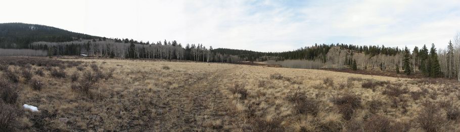
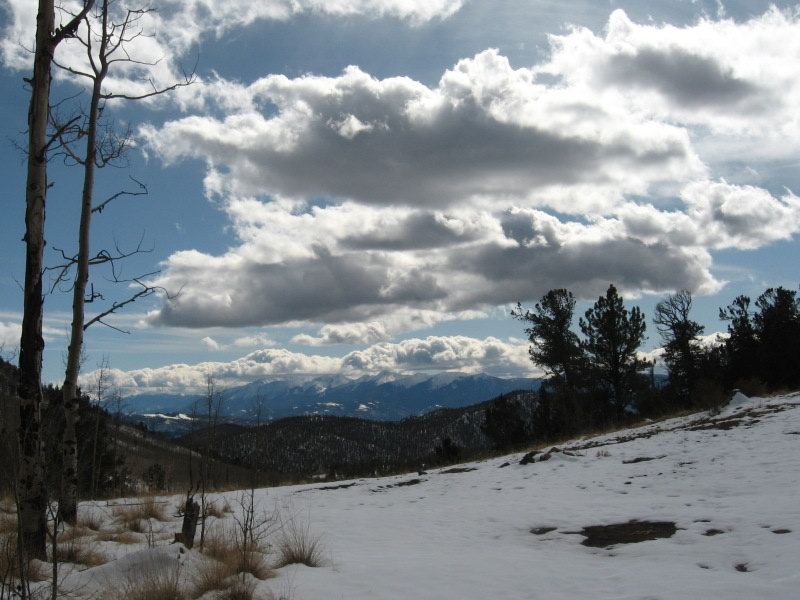
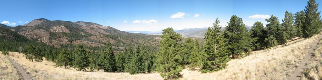
Pretty little park up near 10K elevation ringed by bare aspen


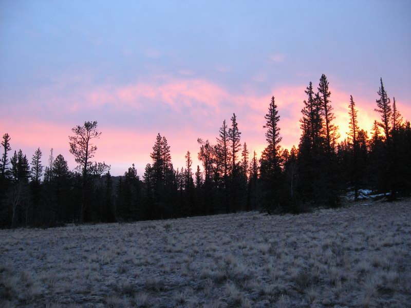
Dawn in the Cochetopa Hills, as seen from my feet after getting an early start


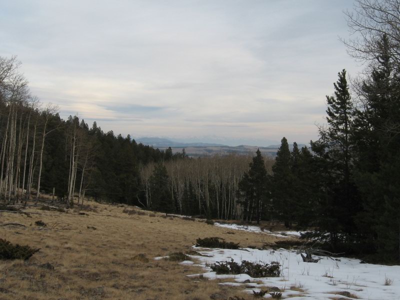
Looking east from up high in the late afternoon twilight, the Sangre de Cristo faintly visible on the far horizon

The sad fact I came home with is that I really don't know much about hunting big game. I kind of think I'm like a flycaster throwing dries in the winter--too ignorant to know how futile my efforts even are.

Oh well, nice hikes in the mountains. Lots of looking and listening.

Monday, November 9, 2009

Fruitah Getaway

Finally found an available weekend with acceptable weather to scoot over to the Utah border to sample some red sand.


Visiting the desert country feeds me.


The girl riding a rim.


Single photo taken from an on-the-way home ride on Mary's Loop

Thursday, November 5, 2009

Pueblo State Park sanctuary

Took a weekday to just go ride where there wouldn't be any snow or ice. The curvy trails at Pueblo Lake State Park.


Went with Brendan, and we both rode singlespeeds, throttle at about 90% for about 4 hours. We went to ride and that's what we did.

Tuesday, October 27, 2009

Shivery Shake-out

I've been kitting up and planning for bikepacking for a while now--roughly since I ordered my Hunter Cycles frame and fork way back in July of 2008. What's that 15 months? Good grief.

Better late than never, but colder late than never in this case. My bud Brendan and I had been talking about doing a shake-out trip for both of us to try out new gear since really late summer. Maybe longer. We waited out all the decent weather, then when some clear weather following a little winter blast last week came through on Friday, we did it.

Of course it took me all damned day between disorganization and distraction to load the stuff onto the damned bike and leave. We actually finally rolled up Ute Trail out of Salida starting at about 4:45 PM. We didn't want to just ride an hour until dark, we really wanted (for largely symbolic reasons) to cross west over the summit into the upper Badger Creek drainage near South Park and camp over there. So we wound up riding up and over on snowy, sometimes icy, often muddy doubletrack with lamps blazing.

Over there in the open snow on the ground was over 6 inches deep. Neither of us really wanted to make camp in that much snow. As we rode along in the dark, we saw some trees near the road where there was a little less snow. We plugged along in the dark and increasing cold until we saw a shadowy grove of pine trees back a bit further from the narrow doubletrack I took us up (lots of wide open over there and not so much wooded).


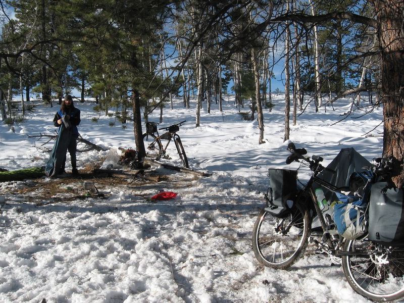
This is camp, morning after. We set up with headlamps in the dark, squatted in the crusty snow heating up some soup, then sacked out after 9.


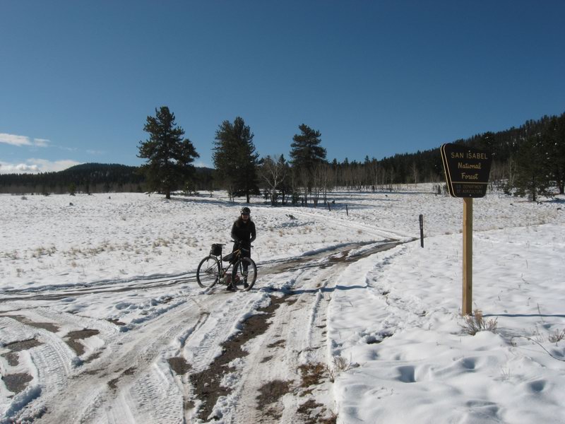
Herring Park, mid-morning Saturday

Smarter people might have just said, yep, we spent a night shivering, rolling around on crunchy snow with barely adequate sleeping bags and, well, spotty knowledge after riding almost 20 miles into the night. Good for us. Now let's just go home and get warm.

Not us though, we decided to take a little tour of the Arkansas Hills. So we headed north into Herring Park, bound for Bassam Park.


You can see some mud on my rear bag. Let me tell you, it got muddier. The bluebird day sun warmed things up enough to really slop things out in some places.


Bassam Park between Salida and BV, but north and east, is big, remote, and beautiful. The back drop of the Sawatch Range with fresh snow was awesome.


As we headed back toward home, we first had to summit Aspen Ridge, taking on a 1,000 ft climb to 10,300 ft. This stretch on the north-facing side had not melted at all. But the climb to the summit was mostly climbable, at least where we didn't sink and slip in greasy half-frozen mud.


Aspen Ridge summit view to Sangre de Cristo range--fresh autumn snow gleams white

The way down off this summit was un-godly muddy. Our bikes and our selves got totally spattered and slathered. Grindey drivetrains. Clogging chainstays.

It was tough. But it served a purpose. I came home with many assertions about areas where I am under prepared. If we hadn't had gnarly conditions, we might have learned less. Of course we might have shivered less too, but what are you going to do? Colorado didn't give us much autumn this year. Winter has been too enthusiastic about showing up early.

We survived, we learned, and we wound up riding a 50-mile lollipop loop. It was an adventure.

Damn, but did that hot shower feel good when I got back into my nice, comfy house.

Friday, October 9, 2009

Bear Creek Color Tour


So it's been chilly. And windy. Putting a finger outside this morning made me think about finding work to do around the house. But I have a big trailwork day scheduled tomorrow, and of course weather has been a dice roll...

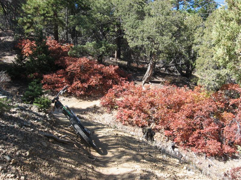
So I rolled out late in the morning with plenty of clothing to ride the Bear Creek section of the Rainbow.


I didn't wind up needing any clothing other than the leg warmers and long-sleeved wool I wore from the house. It was nice. Crisp. There was wind, but it served mostly to swirl leaves around--aesthetically pleasing autumn sights and sounds.


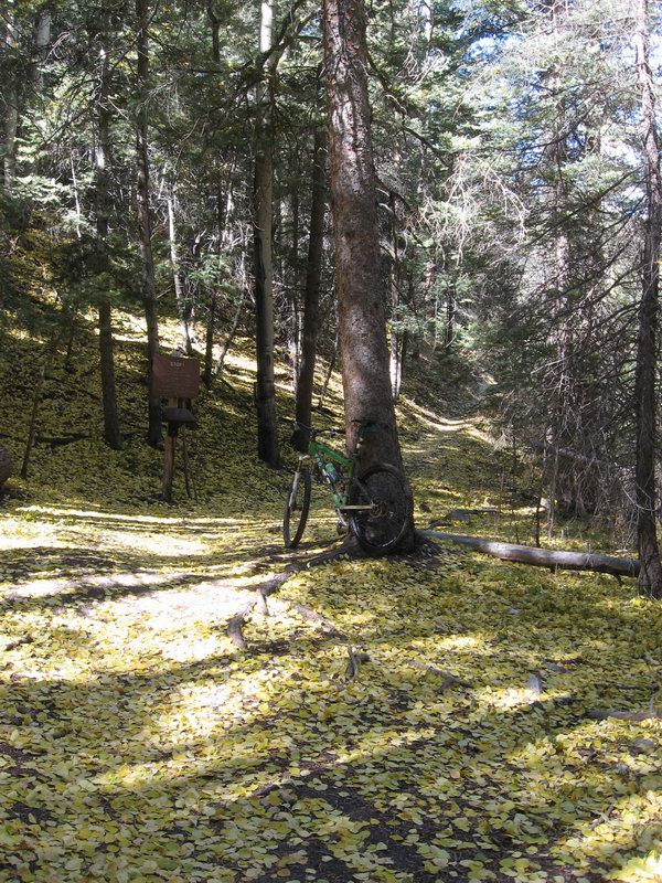
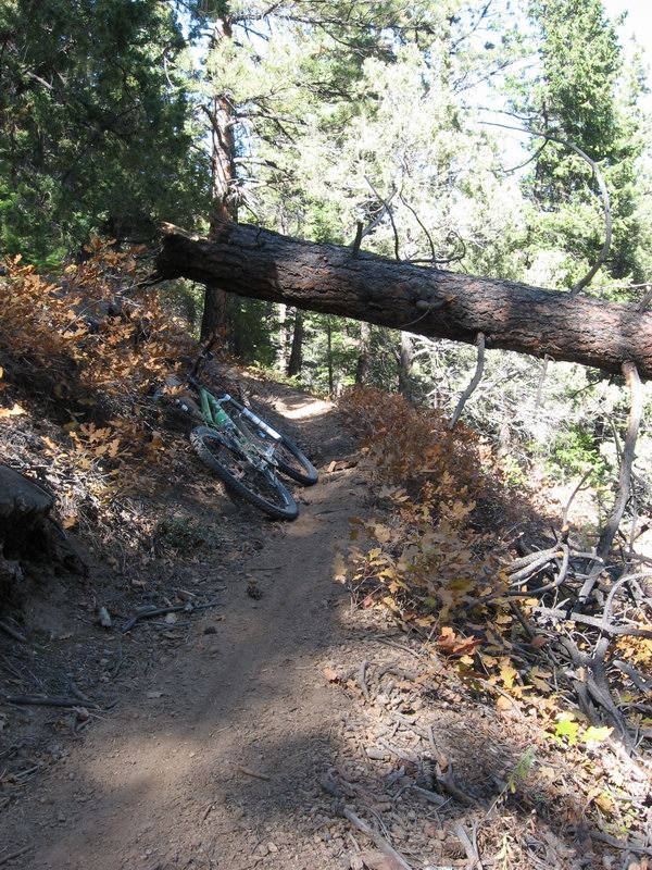
There were some newly downed trees. This scraper was a thrilling surpise. STOP! I missed thumping into it by inches. In the foreground and you can see the skid on the trail.


Most of the gambel oak was already yucky brown or stripped, but this clump was still a lovely maroon with tinges of yellowy-green. Nice.

Good ride.

Thursday, October 8, 2009

Whether weather makes me a wether

Catchup post, with references to the spotty damned good weather during the time when the Rockies should be having idyllic fall weather. I used all three forms, the pronoun indicating a question of alternative possibilities, the damned weather, and a castrated goat.

Kathy and I decided at the drop of a hat late Saturday morning to shoot over to Fruita for a bit of desert riding, and to introduce her to the riding that is there. She had been hearing about it for years, and mostly about 18 Road. I had seen some dodgy reports about weather, but we both had complicated work weeks and just felt like a mini road trip. So we went.

Finding a spot to camp up on 18 Road on a Saturday late afternoon was a challenge, but we got one. We ate dinner than went for a ride. We lost the light after half an hour (darkness at 7:15!). I got her a riding lamp this late summer, but forgot to bring them. That's the kind of thing that happens when you decide to go then hurriedly get ready and leave after one hour of prep. Would have been a perfect evening for a night ride. Harrumph!
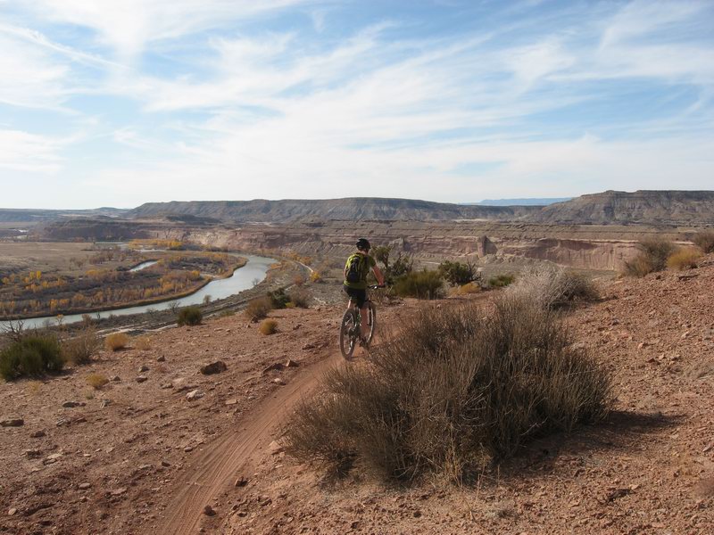
It rained on and off all night, and at dawn the sky looked gnarly and a wet wind was blowing. During a break between rain squalls, we suited up and rolled. Kessler run to the trailhead, up Prime Cut, across Frontside, down West Zippity, back to trailhead, back up Kessler. We rode for ~3 hours, then it started to sprinkle (and the wind had become fierce) as we ate lunch and loaded up.

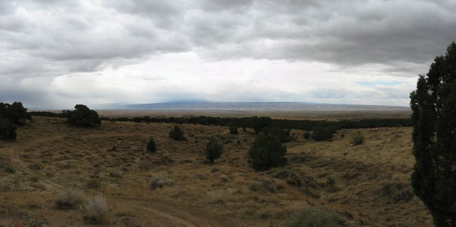
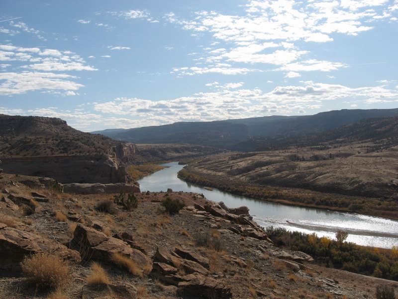
Pano shot from top of Prime Cut, foreboding weather seen over CO National Monument in background

My plan was to camp us out at Rabbit Valley for the 2nd night, then ride the Mack Ridge trails Monday before heading home. We got back to Fruita, went to the CO Welcome Center (where you find some of the nicest people in Colorado) and looked at low gray clouds apparently hammering rain all over the western horizon. Rumor had it that Monday was going to dawn clear, but we had visions of a night spent listening to the wind making the camper's superstructure creak and groan. We decided to scrub the mission and bolt back to Salida being that we had time to get home before nightfall, expecting to drive in iffy weather (weather!).
We did not regret the trip, it was some good together time and we did get to break the routine. And we got in a really decent ride at 18 Road. But I really wanted her to see more of Fruita. And it would have been nice to be able to ride in shorts and short sleeves. Isn't that what you're supposed to do in Fruita in early October?!

Now all week it's been unsettled. Yes, I got in a killer singlespeed Cottonwood ride with Scot on Wednesday. Yes, I did an hour in cold wind yesterday afternoon (it's been all about the Dambala lately).

But where the hell is our nice autumn weather?! The Crest got locked down in the last 10 days of on and off high country snow. CDOT actually plowed highway 50 over the pass one of those days! Will the damned weather stabilize for just a little while so that we can get at least a few more tastes of classic fall riding, so necessary for preparing my sanity to endure winter? Or will it be one desert trip after another?

I prefer to be like Pan during this time of year, dancing about in the woods and celebrating the season. But so far Pan has been kicked in the junk this fall. Damned weather! Harrumph!


Wednesday, September 30, 2009

Kottonwood Kolerz


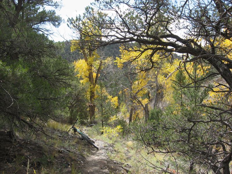
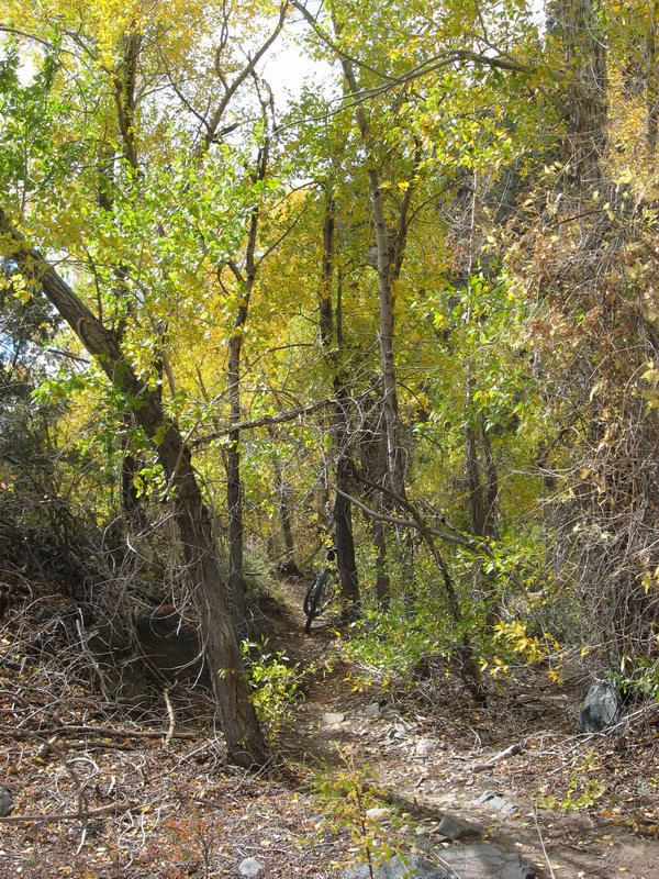
Last day of September, honored with my first singlespeed Cottonwood loop of the fall.

Cottonwood (trees) have I think a more beautiful color than aspen, and they stay bright for much longer. They generally start a little later and keep their leaves quite a bit later. What better place to watch them start to turn than Cottonwood Gulch?


OK, now I'm going to digress a bit from bikey subject matter. I know that it is often unpopular among readers of recreation blogs to get political rants, so if you have no tolerance for that sort of thing, click away my friend...

The health care debate is making me ill (pun intended). Why must Americans insist on sticking with a cost-management approach to health care? Why can't we expand our minds to see health care as a health management issue?

All the debate in Congress and the press is about whether it should be mandatory private insurance with some new regulation, or whether there should be a so-called public option. This public option would be government provided insurance.

Why does there have to be an insurance layer between the sick person and the health care system? Because we are still seeing health care as a cost problem.

In countries that have successful health care systems like Britain, France, and Canada, health care is not seen as a cost, it's seen as a vital component of the well-being of citizens. In those countries, a public health care infrastructure is maintained by the government. Not run by the government, it's run by health care experts. They don't worry about cost, they worry about treating health issues. And through some magic, it all costs less!

They pay more tax to support the system, but they don't have to cough up huge amounts of income to pay for insurance. The insurance that is emptying Americans' wallets is often worthless. The insurance companies charge huge premiums, fight claims and often force the sick person to spend hours on the phone trying to get the care they need. Often those hours on the phone are wasted, and the insured American goes bankrupt because they got sick and their insurance turns out to be worthless.

Perhaps countries that have public health care pay less because there isn't a whole wing of every hospital full of administrative staff who spend their days trying to get money out of insurance companies to pay for their patients' treatment? How does that overhead really help sick people get treatment?

Sometimes, profit motive does not produce the best solution. Sometimes the public sector is the only viable provider of services.