Wednesday, December 3, 2008

Still on dirt

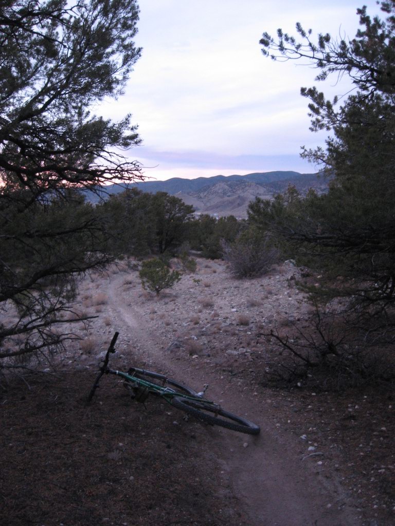
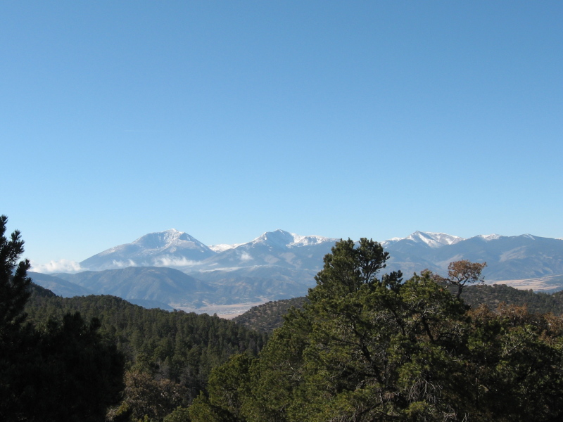
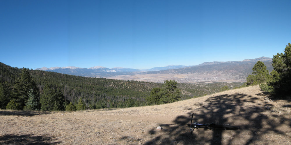
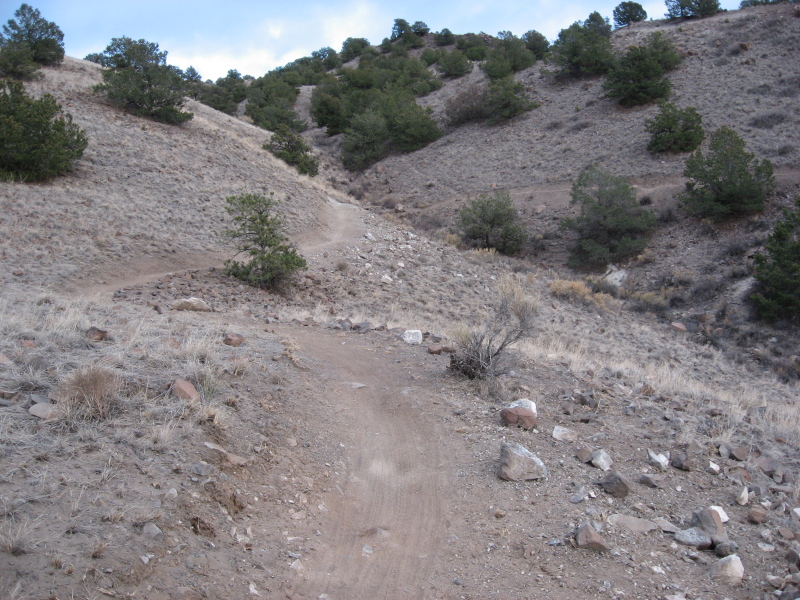
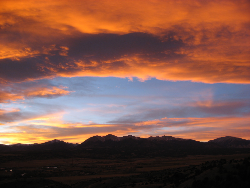
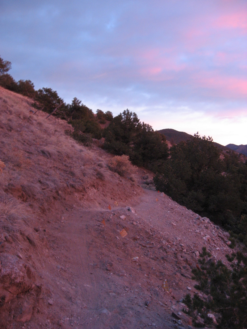
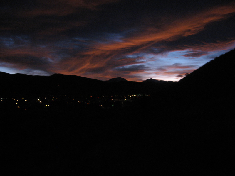
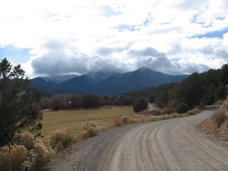
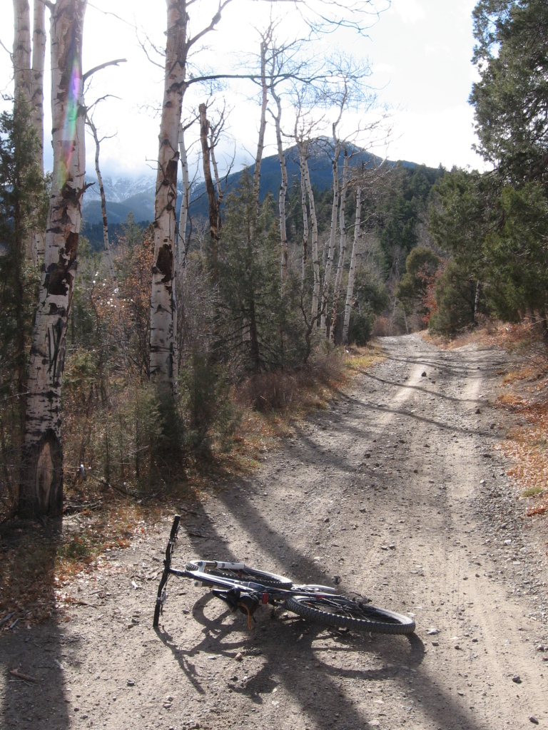
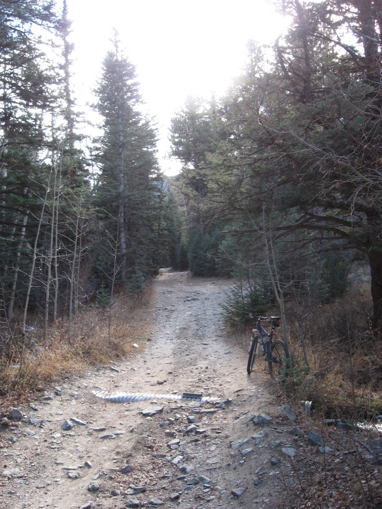
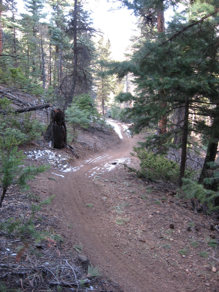
Another clear dry day. Another ride. Thank goodness.


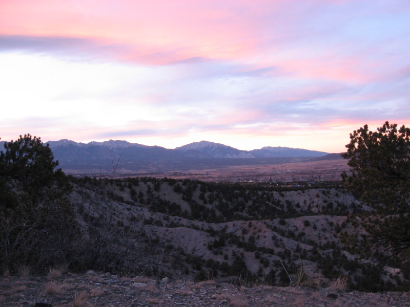
quite chilly, but still dry and mighty

Saturday, November 29, 2008

PEE-ebluh State Park

On Black Friday, even though we would have rather had a chance to trample a Wal-Mart employee, Kathy and I headed over to Pueblo (pronounced PEE-ebluh) State Park from Wetmore to ride bikes. 

A cold front moved through on Thursday night, so Friday was chilly. It was clear at the foot of the Wet Mountains, but we drove under a thick cloud bank as we approached Pueblo Reservoir and the state park. The air was cold and moist as we got started, and the sun was completely obscured by thick clouds, but we bundled up to see if it would be workable as long as we were there.

Once we got moving the day's weather proved to be fine for riding for the most part. The light was completely flat, which made photos pretty interesting.


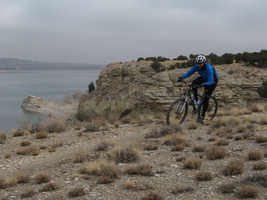
Me on the Outer Limits Trail under a gray sky

Outer Limits is a really cool trail. It traces along the rim of the bluff over Pueblo Res. Lots of flowy singletrack with little dips. Good fun, and good scenery.


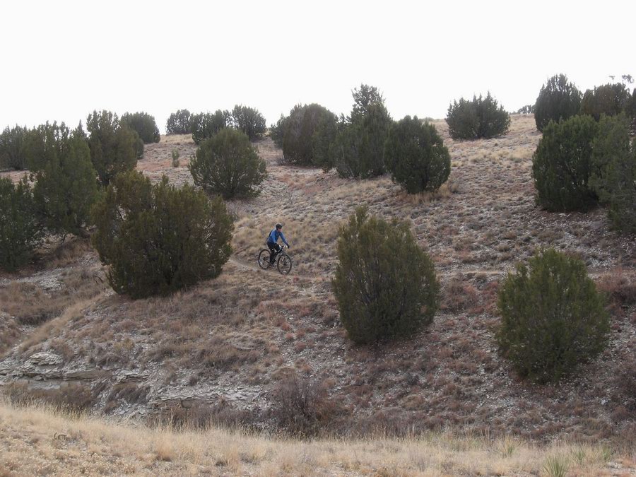
Kathy on the Voodoo Trail

We started riding the Voodoo Trail, but it was getting a little late and toes were getting cold, so we cut that short and headed back.


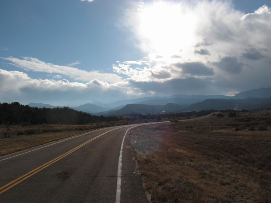
The Wet Mountains as seen from the east

As we headed back west toward Wetmore we drove under mostly clear skies. 

The day was good, and it ended quite well with a surprisingly tastey dinner at Merlino's Belvedere in Cañon City. From the billboards I've been seeing as I passed through the area for the last 20 years I just assumed that this place would have to be totally campy. But the people are completely genuine in their desire to please, and damnit, the food is good. I recommend it if you like real Italian Food. And especially if you like having Frank Sinatra and Dean Martin woo you quietly from hidden speakers as you chow down on homemade pasta.

Tuesday, November 25, 2008

Evening with rocks and sunset

In the cooler part of each year, we Salidans ride the rocky piñon/juniper country that rings the town. Lost Trail is my favorite of these rides. It's a flawed trail, to be sure. Lots of fall-line stuff, some ridiculously technical. Ruts full of baby heads, some flowing open trail full of baby heads, sandy ruts--you know, normal Salida riding.

This evening I got up there just at sunset. Looking for that pink light. Got a little bit of it.


Rocky upper part of Lost Trail

The sky has been full of high cirrus all day. A weather thing is supposed to be here for Dead Bird Day®. This is the kind of sky we get before a weather blip. But those high clouds do make for some nice sunsets.


Sunset as seen from the middle of Lost Trail

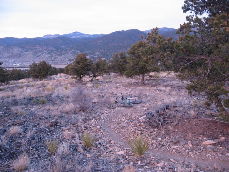
The lower part of the trail has some really nice smooth bits. So out of character for trails near Salida.


The lower, smoother part of Lost Trail, my Voodoo taking a breather as the light turns low

Friday, November 21, 2008

Back to our regularly scheduled Indian Summer

Yep, it was just the one day. The front moved through over night, and we had a chilly and clear morning. Down below 20, but up to the 40's by 9 AM. I'm going to be in Denver with Kathy this weekend for the Denver Film Festival, so I figured I better bust out a little ride. 

This time of year it's always so compelling to get a ride in. There's always the feeling that the hard weather is just around the corner and we won't be on dirt much longer. But it's been feeling like that to me since early October, and moreso since we got back from Mexico.

But yeah, it's fuggin' pretty again. Go figure.


Southern Sawatch Range as seen this morning from the Arkansas Hills north of Salida. The peaks are (left to right) Ouray, Chipeta, and Pahlone. Ouray was a lendendary chief of the Ute Indians. The Ute were indiginous to this area before statehood in 1976, which was roughly when they were run out of the mountains and moved to reservations (as was the fashion at the time). Chipeta was one of Ouray's wives, and Pahlone was his son by another wife, Black Mare.

See this article from Colorado Central Magazine if you're interested in knowing a bit more.

Thursday, November 20, 2008

And then it changed--maybe for only the day

Glad I did a nice, long ride yesterday. Today is chilly, windy, overcast, and with the smell of snow in the air. Shiver shiver. We do need the moisture though. And the forecast for tomorrow is back to clear and dry.

So it goes.


On the horizon on the right side center of this photo is roughly where I was yesterday when I took the photo of clear, cloudless southern Chaffee County.

Wednesday, November 19, 2008

Clear, Dry Arkansas Valley

Eight days ago I declared that our weather was supposed to become stinko for riding. Did not happen. It's been ridiculously nice. Chilly overnight, sure. Down in the teens. But that's standard for the Upper Arkansas in the months between the autumnal and vernal equinox. Clear, sunny, daytime temperatures in the upper 50's and lower 60's, but feeling warmer in the sun. Night rides comfortable until after 8 PM.

Rode the Rainbow Trail between Bear Creek and Methodist a while ago. 9,000 feet elevation and dry as a bone. Too dry I guess, but I like it. I'm selfish--I like to ride.


Glassy clear air. Utterly cloudless sky. Typical for the valley in autumn.

Monday, November 17, 2008

Sunsets and New Trails

Last week one evening Kathy and I were taking a little hike and noted the compelling beauty of rose-colored light that washed over the land due to a fabulous and sublime sunset. I wanted to get some pictures of some of our new trails winding through the piñon, and I decided that I wanted them to appear in this light. So on Sunday late afternoon we set out for another evening walk, this time with camera hoping to get similarly beautiful soft light.

As we trespassed across the dormant Union Pacific railroad tracks the sun was just touching the horizon and the early evening sky was mostly steel-colored. Seemed like we might just have to settle for flat soft light.

We climbed a steep and direct route up onto Tenderfoot hill. The sun disappeared behind Mt Ouray. We arrived at the beginning of the newly completed trail we've been calling Little Rattler.


At around 4:30 PM we got this shot. The light was gray, the terrain was gray, the trail was gray, but still a pretty nice photo. Note the tire tracks. The trail already has many visitors, afoot and riding, every day. We saw a rider as we ascended.

Then it happened. The sky bloomed.


We headed back, farther north and farther up into the slope of the Arkansas Hills. We got the rose-colored pictures. Here's a sample:


Work in progress, The Backbone Trail

It got dark on us, but we had just enough light to keep from tripping on rocks, and we got a nice view of our little town with a last bit of spectacular and poignant sunset.

Tuesday, November 11, 2008

Late Rainbow

Today I just had to take a few minutes (well, hours) to ride our local bit of lovely Rainbow Trail. The weather is supposed to get nasty this week which would be appropriate to the season. So I thought today would probably be a good day to go, rather than regret that I lost my chance to ride it one more time. 

There was a bit of wintery weather visible on the tops of the Sangre de Christo peaks that we see up ahead.


Climbing toward wintertime.


Check out the wintertime visible between the trees. Pretty though.


Ah, we locals do enjoy suffering on this pretty climb. I'll miss it when it is under 5 feet of snow.


Slightly snowy singletrack.

Sunday, November 9, 2008

New Trail Construction!

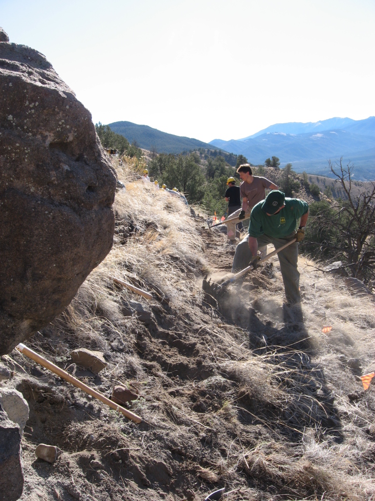
Yesterday my trails organization, Salida Mountain Trails, had a volunteer day. We have done this before, even this year, but this one was special. This workday was the first day that we were able to build trail on BLM land near Salida.

We have built some short trail sections on a limited amount of City of Salida-owned land across the river and north of downtown. But these projects were limited. The City land is nice, but it's quite finite. Perhaps 150 acres. Our mission has been to build a trail system. Western style. Long rides (or hikes, or trail runs). We've been working with BLM to get clearance to start building our plan for years. Four of them. And yesterday was the day when we first operated on the "green light means go" rule. We broke ground on our Backbone Trail, the first level of our stacked loop trail system.

And we got 40 folks! We built about 1/3 mile of trail!

Check the pics:


This is how it starts. Actually, note the guy in the background with the black shirt and yellow hardhat--it starts with him going out and flagging the route. No wait, it starts with him organizing the whole thing while I played in Mexico. Famous GAT Squadder, Andrew M.


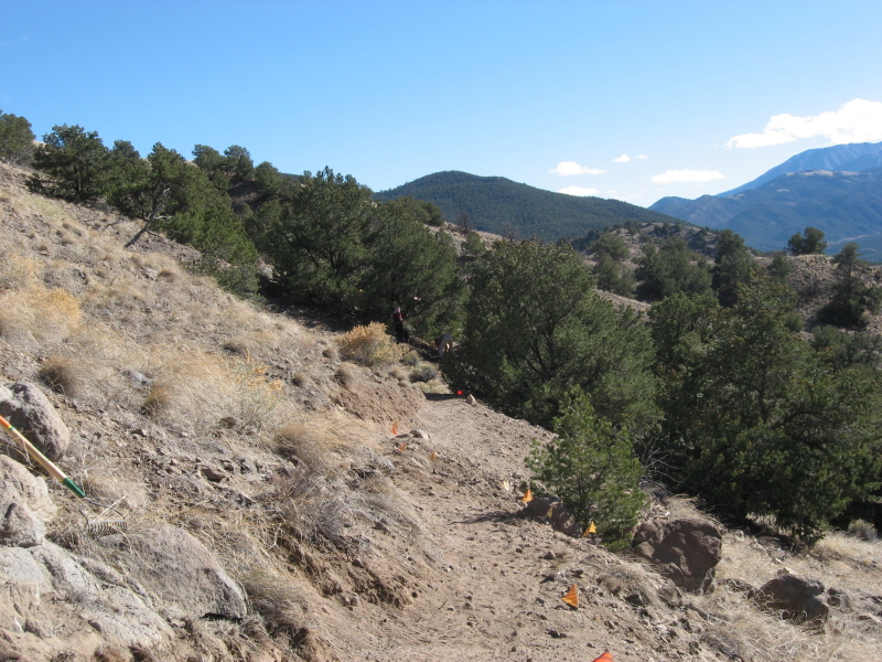
End of the day, not yet sculpted to perfection, but trail.


A bit of the last project we did on City of Salida Land

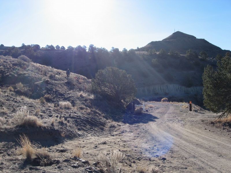
So there you have it, progress out in the Piñon across the river from Salida.

Monday, November 3, 2008

Copper Cañon

Two weeks in the State of Chihuahua in the interior of Mexico. USA is serving up some culture shock. It was sure nice to not hear any news...

Too many stories to blog. How about just some pictures, each telling at least a few hundred words, if not a thousand:


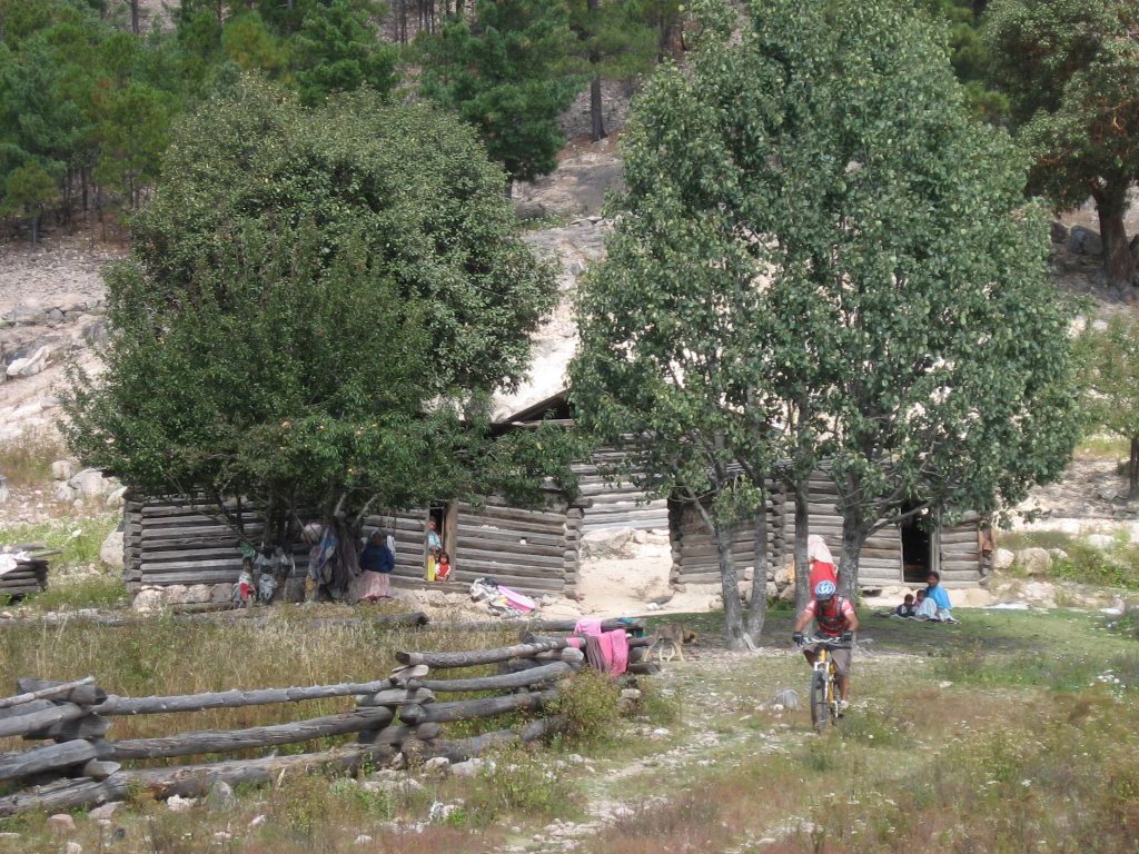
Enrique, our Creel local guide, rides from a tarahumara farmhouse after talking to them

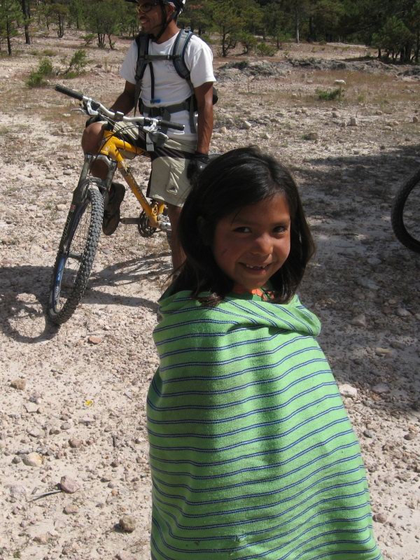
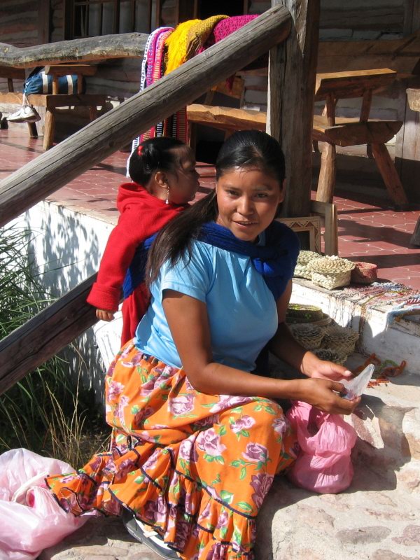
The trip was made quite rich by exposure to the tarahumara people, one of the most culturally intact indigenous populations left in North America.


Friendly tarahumara girl


Tarahumara woman at the lodge where we were staying, bringing goods for sale, her child strapped to her back


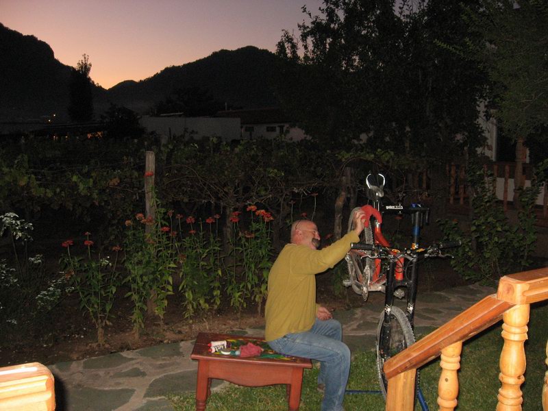
Kim cleaning a bike--not his.

The people we traveled with were the best. This is Kim, one of the kindest, most positive people I have ever met. He made the trip special with his humor and attitude.


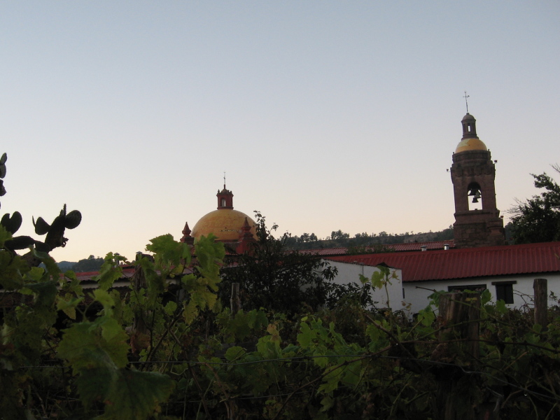
The mission in the town of Cerocahui, Chihuahua. Pictured from the courtyard of our hotel


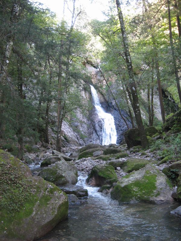
Waterfall near Cerocahui, Chihuahua


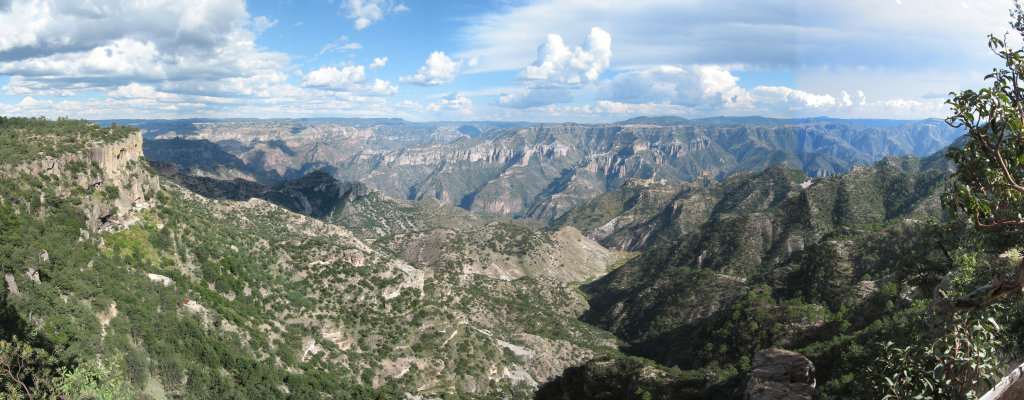
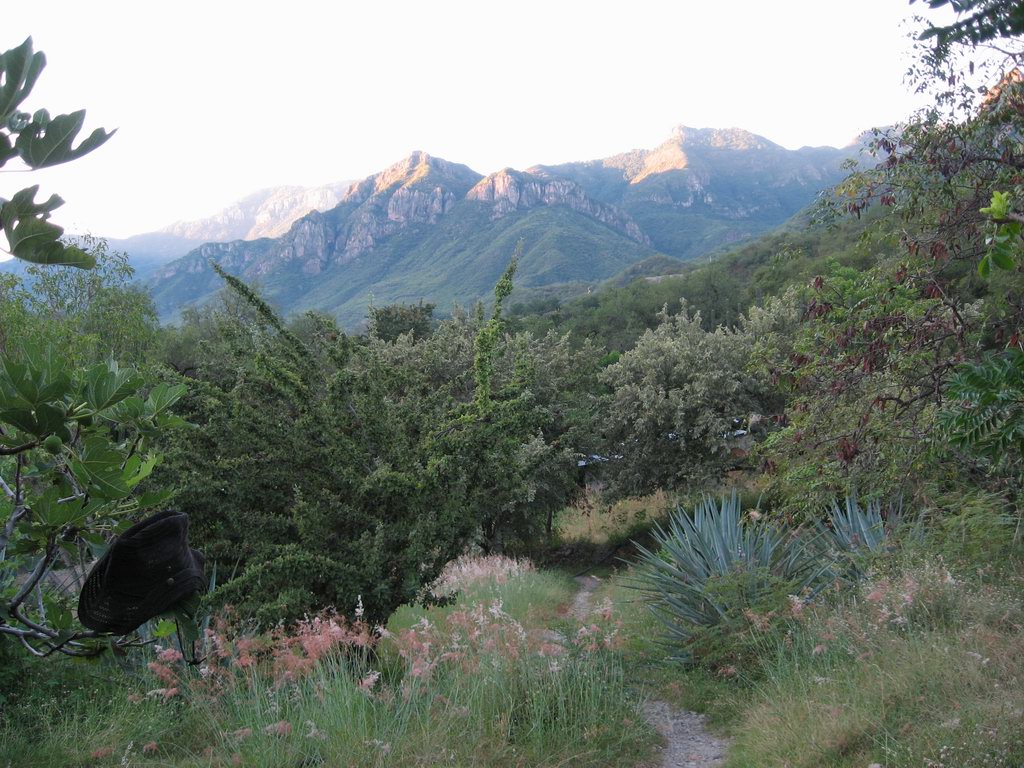
One of our first peeks at the grandeur of the Urique Cañon.

Most visitors to the Copper Cañon country descend into Batopilas Cañon if they go below the rim country. We traveled into Urique Cañon, a deeper and less visited cañon.


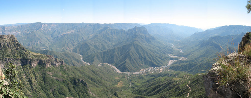
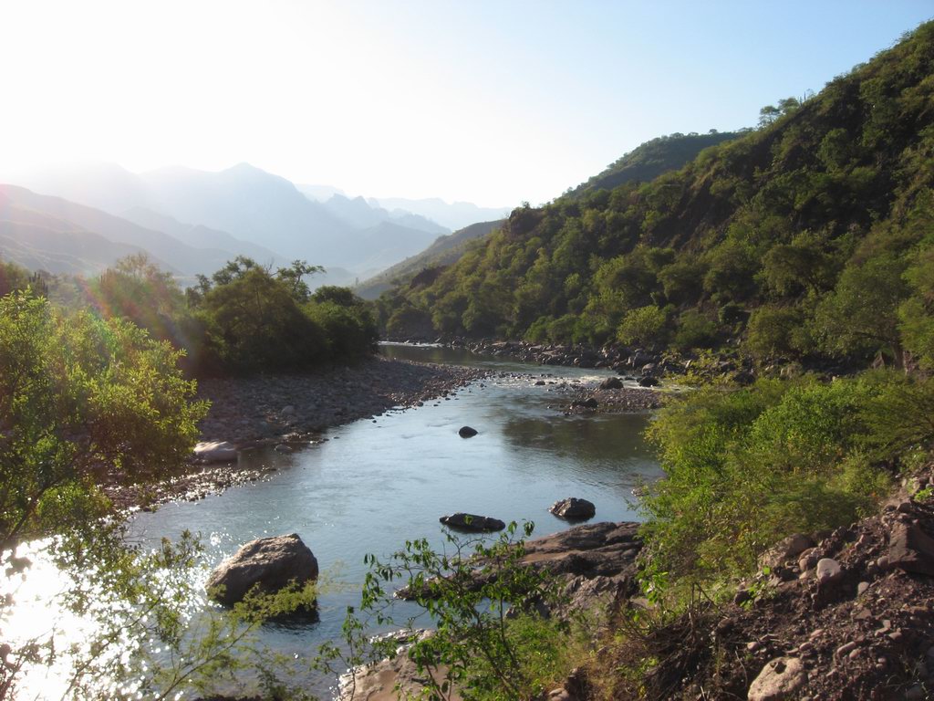
Urique Cañon, with the town of Urique along the Urique River


The Urique River as seen from the bottom of the cañon


The west cañon Wall as seen from Urique


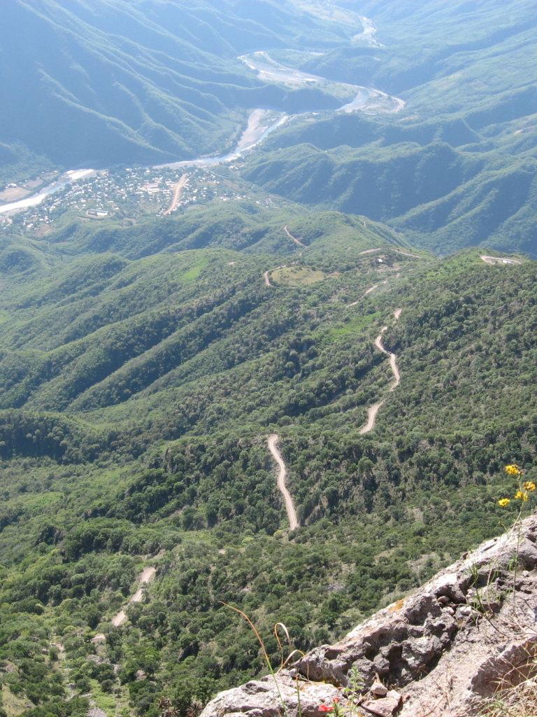
The road out.

On Monday morning, the 11th day of the trip, we climbed up out of Urique Cañon, starting before daylight to avoid the intense heat of the cañon floor. This is the road we climbed. Approximately 4,500 vertical feet from the bottom to this point.


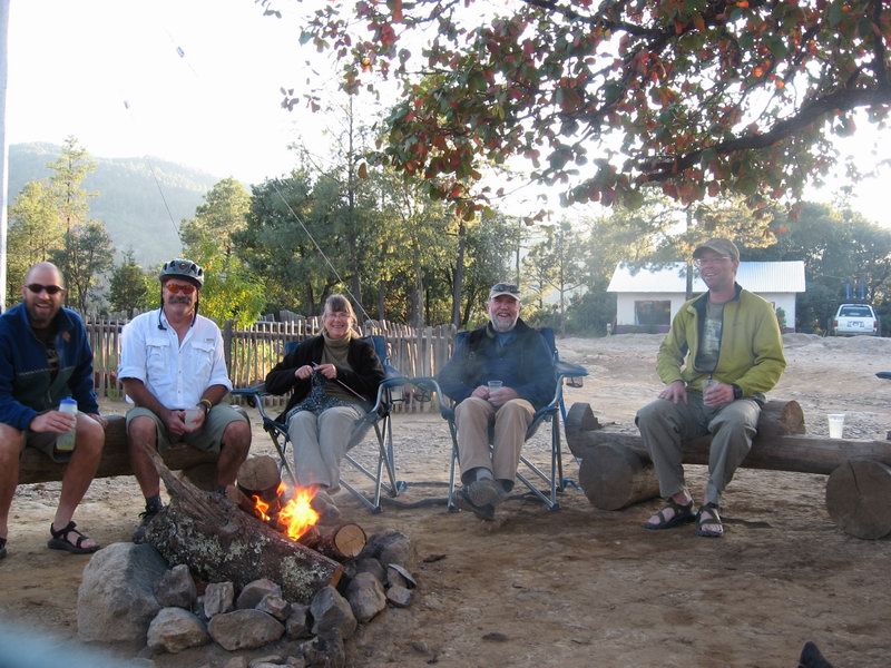
Campfire at the San Isidro Lodge at then end of the day that we climbed back to the rim out of Urique Cañon. Me, Kim, June, Phil, Kyle left to right.


Boots

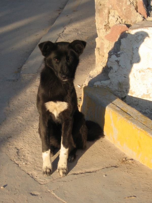
Of all the many, many homeless dogs that I would have liked to adopt, this one who we called Boots was the most compelling. She was smart, beautiful, and surprisingly gentle for a street dog. She followed us all over Creel then slept on the sidewalk outside the hotel waiting for us to come out the next morning.

Monday, September 29, 2008

National Public Lands Crest Trail Work Day

I co-organized a big trail workday with IMBA, the Continental Divide Trail Alliance, Gunnison Trails, and the US Forest Service. It went off Saturday, with over 80 volunteers working to show the local favorite trail some love.

The weather shortened the day a bit, but it was definitely a great success.


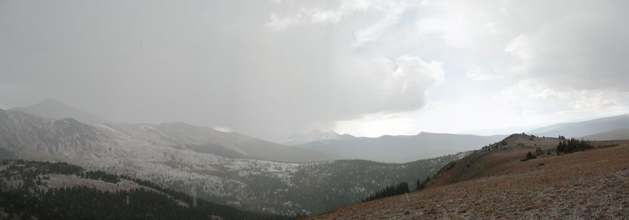
Passing storm dropping graupel which is accumulating quickly on the ground

I hauled a BOB trailer with a couple tools out to a work site just north of the Greens Creek Trail intersection, leaving the pass a little before 8 AM and arriving around 9. I worked with three other volunteers for about an hour before the other folks who had been assigned to this area showed up. Quite a bit of good work happened, but then weather moved in quickly.

I finished up one water diversion, after having had a conversation with another crew leader about how we had better get the flock out of there. I was gathering tools that needed to be replaced in the tools cache that the Gunnison Forest Service people had brought in on Thursday. I had just put down an iron rock bar as I organized a small group of tools to carry downhill. Just then, there was a blue-white flash and an almost immediate crack of thunder.

Volunteers started to scatter, looking for cover. We were working right near the 12,000 foot Continental Divide ridge. I dropped my tools and ran down off the trail to a small grove of fir trees. As soon as I got there another close lightening strike flashed and boomed, the noise echoing around the little basin below us. Three women who were riding the trail appeared shortly, disoriented with semi-panic. Those of us who were huddled in the trees for safety 50 feet below the trail called out to them to drop their bikes and come down to the relative shelter of tree cover.

As we sat there, graupel began to fall heavily and the air become much colder and moist.

After the lightening diminished, some still being heard over a mile to the east, we decided it was time to bug out. I grabbed as many tools as I could carry and trotted them down the trail to return them to Gunnison's tool cache. A group of volunteers down there felt that they absolutely had to finish up an open diversion and trail armoring project, but promised to head back to Monarch Pass as soon as possible.

I scrambled back to the top, watching for more Gunnison tools, and blue-painted tools that belong to my group, Salida Mountain Trails. I found the four McClouds that I had trailered in. Back on top of the ridge, I set about re-loading my trailer as other volunteers gathered around their bikes to get ready to roll out of there. The next wave of storm moved toward the ridge from the west.

During the next hour and a half, myself and all the other volunteers headed back to command central to finish up the work day, and get on to the more important business of executing a barbecue.


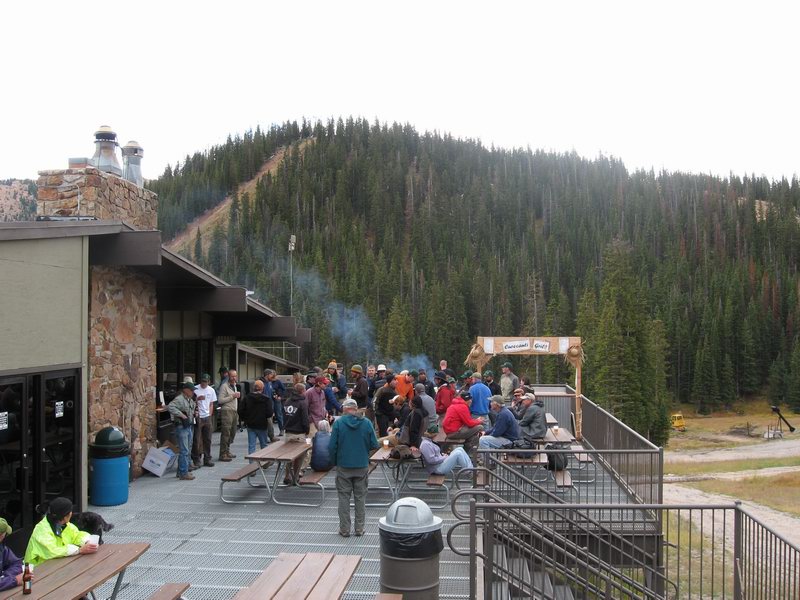
Barbecue for volunteers after the work was done

The fact that weather shut us down much earlier than we wanted was unfortunate. But the Colorado high country rarely allows for much dallying about during the afternoon. It was far better to get all the volunteers out before things got worse.

And then we got to have a barbecue at Monarch Ski Area.

What's more important, really?

Wednesday, September 24, 2008

Autumnal Equinox

Our summer has ended. End of summer is always a big deal to me--kind of the end of my year in some ways.

It's been an interesting, transitional summer for me. By contrast, last summer was simply part of my 2007. Which is to say it was ride, ride, ride, race, ride, ride...

This summer was a whole new deal.

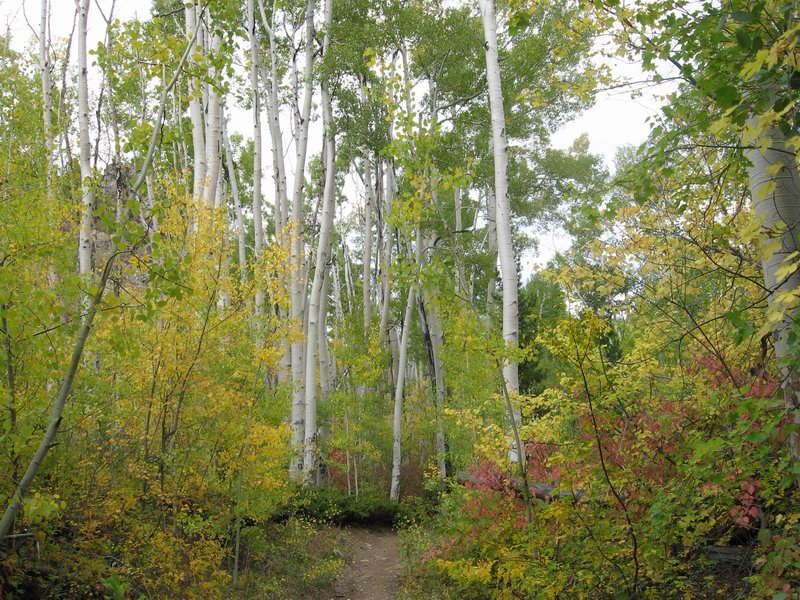
Pictures recently were captured of this year's Colorado-style early autumn. Check 'em:


Wednesday, September 10, 2008

Vapor Trail 125, 2008 edition

September 6-7, 2008

The 4th Vapor Trail 125 is now history. It was my honor to plan and run the event. Lots of work, but very gratifying. To all the riders and volunteers, thanks. It was really cool thanks to all of you.


The riders line up on the F Street Bridge in Salida

It was a great event. Check for more details at http://vaportrail125.blogspot.com and of course http://vaportrail125.com

See you next year.

Tuesday, September 9, 2008

24 Hours in the Sage

For the folks who have been reading this blog for the past few years, sorry to have left it to go stale lately. It's been a busy summer, and I have been doing some different things. Starting in about January of 2007, riding mountain bikes was pretty much what I did. Long solo rides, events. More long rides.

I now have somebody very special in my life, and I have been spending less time riding, and more importantly and very happily, less time alone.

After the Cream Puff, I decided to move away a bit from training for events and making those events the punctuation marks of my life. I felt the need to do at least one more solo 24, and I love the Sage race, so I signed up for that one.

I decided to ride it on the singlespeed, for the experience, and because I remembered the blurring speed that I achieved last year on my geared full-suspension Lenz Leviathan. I'm in injury avoidance, since I'm still sporting some of the effects of some key crashes between March of 2007 and May of 2008. I'm getting too old to keep on busting myself up. It's fun to ride fast, but also fun to be able to keep riding in general, and avoiding the arthritis and other pain as I head into older age.

I raced at Gallup in April on the single, and it was good. Didn't totally kill me, and especially wasn't hard on the knees and legs, as conventional wisdom might have you expect.

So off I went. My goal for this ride was to have the experience, and nothing more. Last year I rode my first three laps fast and then kept up as brisk as possible a pace. This year I just rode.

The singlespeed was much harder work, or so it felt at least on this ride. All went well, it just took more energy. I rode almost everything the first two laps, then started pushing some of the steeper bits. By my fifth lap, there were several key hills that I just jumped off and walked without even any attempt to ride. But it was going OK. I just seemed to keep getting hungry, more often than usual during this part of a long race.

I stopped for quite a while when it was time to mount the lights. I was tired, and I did not feel particularly driven to get back out there. But I did, and the sun went down. Soon a huge full moon appeared from behind thunderheads on the horizon.

I rode a couple good night laps, and felt pretty good energy. The night almost always energizes me. I started my eighth lap feeling the same. Good. It was about midnight as I headed out from the start/finish.

About two-thirds through the course, the Sea of Sage downhill came along. I rocked it as fast as a singlespeed can. It was great. I felt alive and exhilerated. I noticed that the air had become really chilly, and thought about putting on more clothing when I returned to the start.

At the end of the downhill, I started the climb up Rocky Ridge. I had been able to pedal it on every previous lap. I stood up and started grinding through the steepish first part. Out of nowhere, my body sent a big Ugh up my spine and into my brain. I stepped off the bike and started pushing it. With every step I felt worse. Hungry. Very cold.

I saw a big rounded rock off to the left of the course. I laid the bike down and staggered over to it. I sat down and grabbed an extra layer from my pack. I started eating a hammer bar. It tasted like sugared sawdust. I sat on that rock and looked at the clear, beautiful sky. And I thought to myself, what the hell am I doing out here? I was pushing my body hard, but I didn't really have a goal. The world was so beautiful, why was I making it so hard? Do I need to race to enjoy riding my bike? Do I have to enter 24 hour races to go ride at night?

Cold. I pushed my bike for a while. People asked me if I was OK. I thanked them and said yeah, just got the staggers for a while. Eventually I rode on and off. I wanted to get back. I wanted to go to my camper and get warm. And get really warm clothing. And maybe eat something that tasted good.

Descending through "the gap" and back down the road to the start/finish I got even colder. I felt like I was turning blue. When I got there I checked in the lap and then went to my camper. I crawled into the sack. Once I was in there I knew I wasn't going to get out. I was pretty sure I wouldn't even go back out after the sun came up and it got warmer.

In the morning I put on street clothes and we went over to the start/finish. I was done. I did 8 laps. Fine. It wasn't that I had missed making my goal. I had not started out with a goal for how many laps I would do, my goal had been to have the experience. And that goal was met.

I ran into people that I know who I rarely spend more than a few minutes talking to when I go to solo these things. I got to hang out. I had some of the pancakes that they were handing out--pancakes that I would not have had if I was still out there doing circles on the course. I took pictures of friends who were coming in from their laps. It was fun.

Here's a picture I got of my good friend Anton:
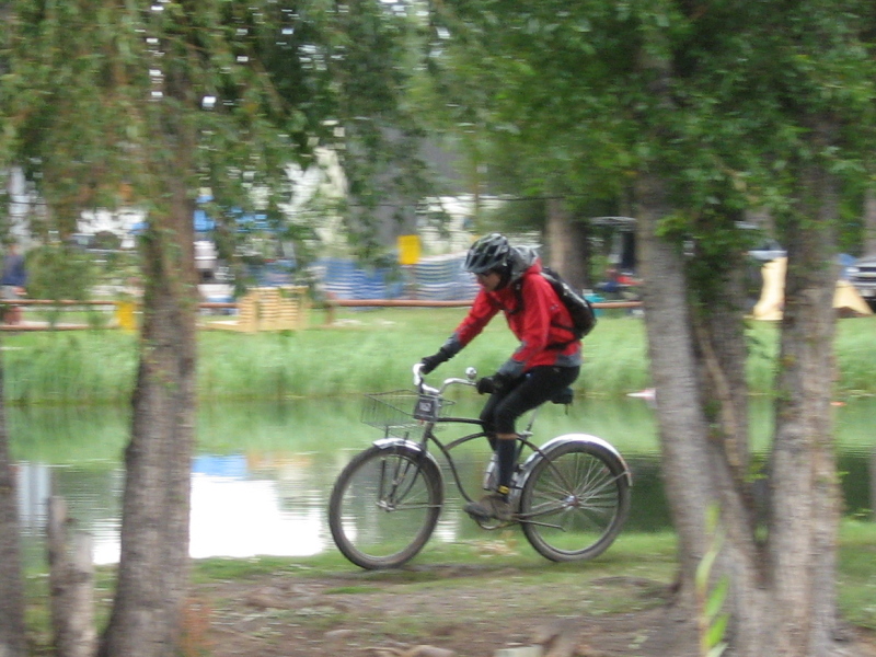

Townie 24 Hour World Champion Anton van Leuken rolling to the finish

Not sure where this is going for me. Right now I'm not planning to do any races. Not planning to not do them, but I'm happy for now just riding and doing my thing.

We'll see where this blog goes. I'm guessing it will be different. Hope that's OK with y'all. Just my life going somewhere a little different for a while.

I may post some back-dated stories about fun things I did. Some did not involve bikes. Most did involve some beautiful rocky mountain scenery. Hope everyone had as good a summer as I did.
Sunday, August 31, 2008

St Charles Trail, Wet Mountains

August 31, 2008

Spent the Labor Day Weekend in the Wet Mountains, southeast of Salida, the foothill range just east of the Sangre de Christo Range. Interesting and unusual mountains compared to other mountains in the south-central portion of Colorado.
Here are pictures from a hike up to St Charles Peak:


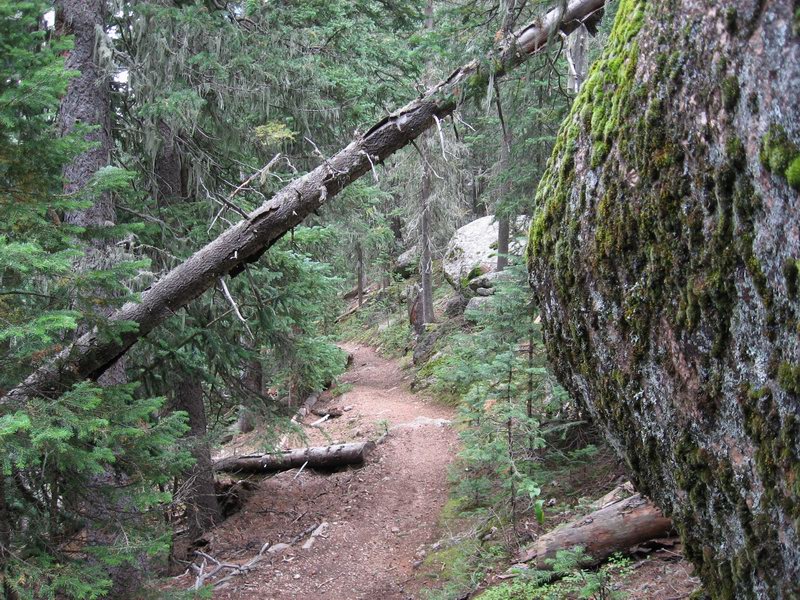
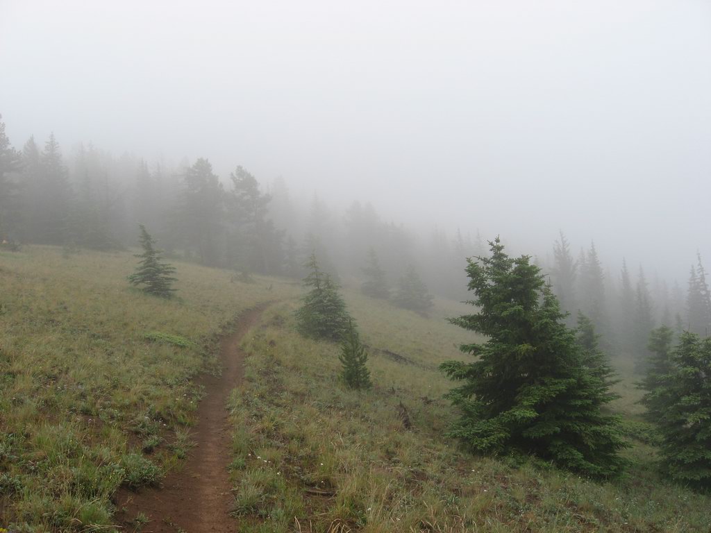
The trail on the way up.


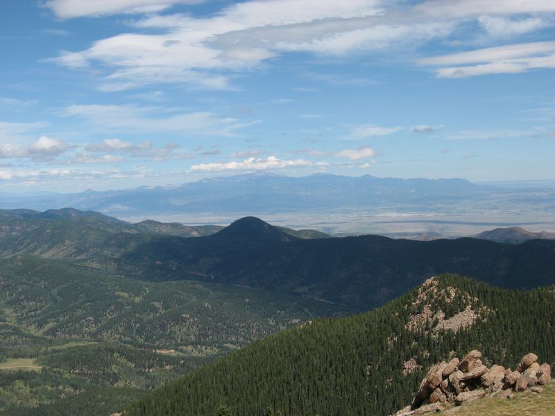
Pikes Peak as seen from the Wets, pretty much north. Looking across the last mountainous portion of the Arkansas River Valley.


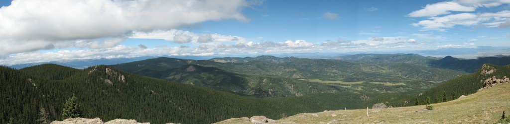
Panoramic view from the top, looking from West to North.

Friday, August 8, 2008

Just another Marshall Pass/Silver Creek ride

August 8, 2008

My bread and butter training and fun ride during summer from Salida is a climb from town up to 10,900 ft Marshall Pass, a traverse of the Continental Divide ridge to the headwaters of Silver Creek, descent of Silver Creek to the Rainbow Trailhead, then down the Rainbow and back to town.

This day was a day after a big rain, and there was lots of moisture hanging in the air.


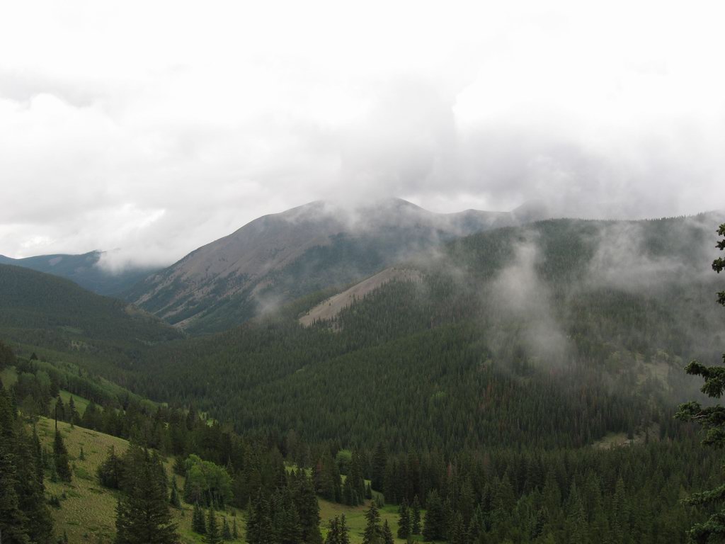
The Continental Divide National Scenic Trail as it departs from Marshall Pass, shrouded in mist


The view down Silver Creek from "the lunch spot"

Tuesday, August 5, 2008

Marble River/West Maroon Pass

August 3, 2008

Every summer a person who lives within two hours of Crested Butte should make a pilgrimage just to see the flowers. Bike riding, of course. When possible. But I know from experience: to see the best flowers you need to use your feet. A hike in to the Snowmass/Maroon Bells Wilderness is the way to get the goods.


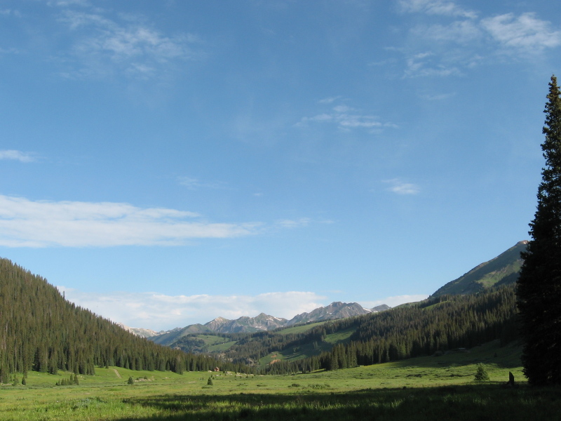
The view west from the Trailhead, west of Schofield Pass. Down the Marble River toward the town of Marble.

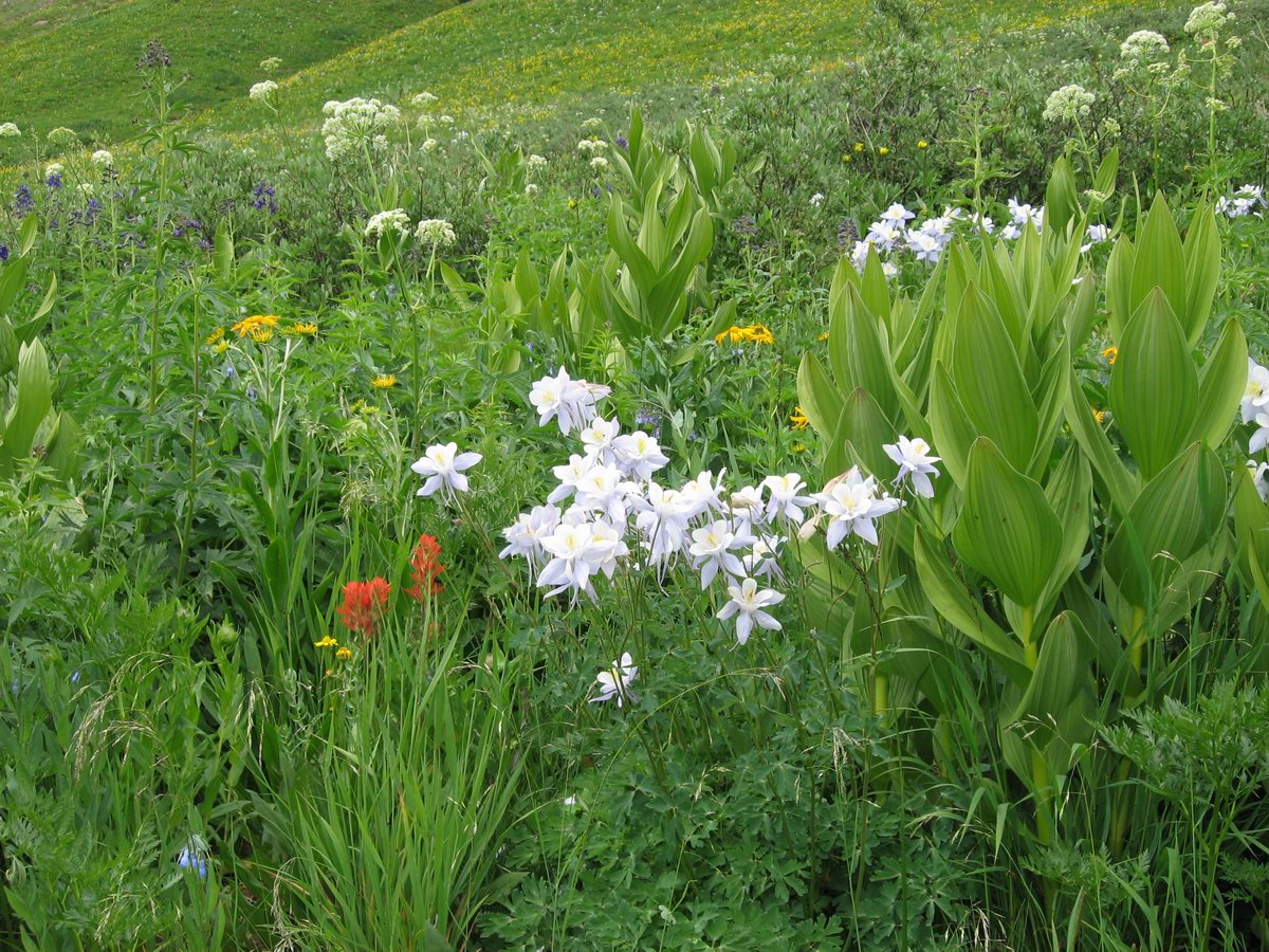
It's really difficult to capture how beautiful the flowers are with a camera, you have to see them.


Flowers and skunk cabbage


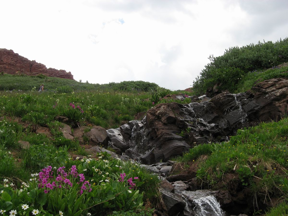
A tiny waterfall near the headwaters of the Marble River


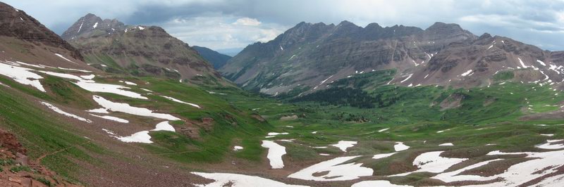
The view from W. Maroon Pass, off toward Aspen. First weekend of August, and plenty of snow.